Missouri Nature Walks
Discover & Explore Hiking in Missouri

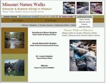
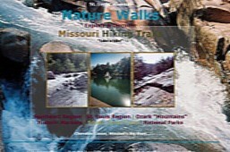


Nature Walks! City Walks & Garden Walks & Health Walks
OZARK MT. REGION~ Nature Areas 
|
|
|
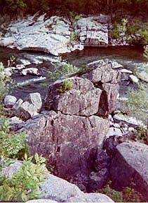
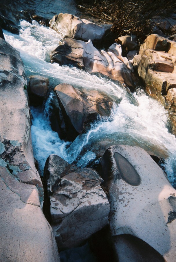
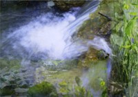
THE WATERWAYS, of the Ozark Mountain region are Big Beaver Creek, Big Sugar Creek and Elk River and Indian River, James River, Kings River, Bryant Creek, North Fork of White River, and Shoal Creek. Ozark Heritage region streams are Big Creek and St. Francois River, Big Piney River, Black River, Castor River, Courteois, Huzzah and Upper Meramec, Current River, Jacks Fork and the Eleven Point River.
|
|
|
The Ozark
|
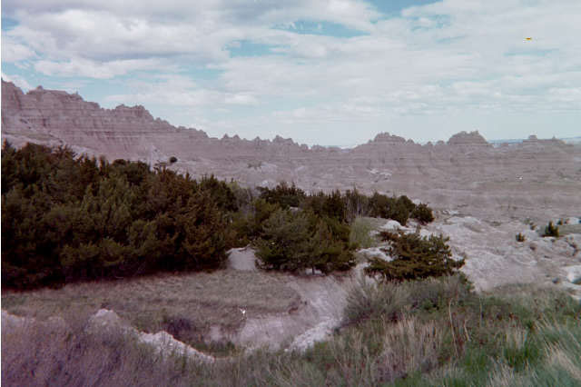
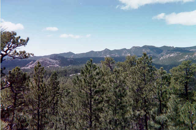
Region's beauty consists of natural springs, waterfalls, sparkling streams, national scenic rivers, riverbluffs, wilderness areas and forested hills and mountains providing acres of activities or peaceful tranquility.
|
|
O
Z
A
R
K
M
T
S
|
Roaring River State Park
Piney Creek Wilderness
Markham Spring
Carmichael State Forest
White Water Trace Conservation Area
Indian Trail Conservation Area
Big Sugar Creek
Conservation Area
Buffalo Hills Natural Area
Grand Gulf State Park
Little Grand Canyon Conservation Area
Mammoth Springs State Park
Montauk State Park
Blue Spring Natural Area
Devils Backbone Wilderness
Jacks Fork River
Angeline Conservation Area
|
BARRY COUNTY
Cassville. MO 112, F or 86. 417-847-2539. Roaring River is a 3,413 acre park. It features rugged and scenic terrain of the southwest ozarks. More than 20 million gallons pour from the Roaring River to form the headwaters of Roaring River. A waterfall pours from the hillside into the river. The stream is stocked daily. Explore the park on seven trails of over 10 miles. The park has been preserved in its natural state.
Barry and Stone County. Lake Road 76-6 or HWY 39. Piney Creek Wilderness is 8,142 acres. There are 5 trails, 13 miles total; 6 mile loops to hike the scenic wilderness. Ridgetops reaching of 400 feet above hollows and streams. Watershed of 5 miles runs through the wilderness into an James River arm of Table Rock Lake-Reservoir. Oak and hickory dominate the uplands. The wildlife is typical of the Ozarks.
BUTLER COUNTY
In Butler County.
In Butler County.
DENT COUNTY
In Dent County.
In Dent County.
MCDONALD COUNTY
Country Road W24. Lebanon. 417-847-2539. 2,047 acres of outstanding oak and pine savannas in the rugged Elk Hills region of southwest Missouri. The savannas, glades, woodlands and bluffs lie along the scenic Big Creek. A four mile hiking trail.
Bufffalo Hills Natural Area is 486 acres. Two mile trail.(one-way).
OREGON COUNTY
Thayer. Arkansas-Missouri border. HWY W. 417-264-7600. Here lie the spectacular ruins of a collapsed cave, leaving a 130 ft. chasm. The remaining roof forms a natural bridge over a 250 foot tunnel. Bussell Creek flows through the gulf to the cave, during wet seasons. There is also the Four Overlooks. providing scenic views of the park and there are hiking trails that crosses the bridge and through the forests. It winds for a mile through vertical walls as high as 120 ft. Hiking, picinic.
Thayer. MO. Mammoth Springs, Arkansas border. Scenic HWY 9 and US 63. The state park is on the shore of the 18 acre Mammoth Spring. The Spring river flows through the beautiful Ozark Mountains.
SALEM COUNTY
MO 119 west of Salem. 573-548-2201. The park has seven springs and forms the headwaters of the Current River. Stocked of rainbow trout from hatcheries. Cabins, camping.
SHANNON COUNTY
Route 106. Eminance. 573-323-4236. "Spring of Summer Sky" as named by Native Americans, this spring is one of the prettiest and deepest springs.
Devils Backbone Wilderness is 6,595 acres. 16 miles of loop and linear trails. It features the Blue Spring and McGarr Spring and the North Fork Recreation Area.
Jacks Fork In Eminance.
Return to Top
|
|
River Heritage Region
|
Ozark Mountain Heritage Region
|
St. Louis Area
|
|
Nature Walks Home
|
Scenic Drive Trails
|
National Parks
|
Nature Links
|
Historic Sites
|
|

