
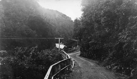
Treacherous even in the 1990's and the new millenium, this road is the worst of New Zealand's state highways.

In 1999 a fantastic engineering feat was accomplished - a viaduct that replaced the worst of this road. Now motorists could feel a little safer from the threat of falling rocks or their vehicles falling of the edge.
The road reopened on 2 June 2000, but within hours was under threat of closure from snow.
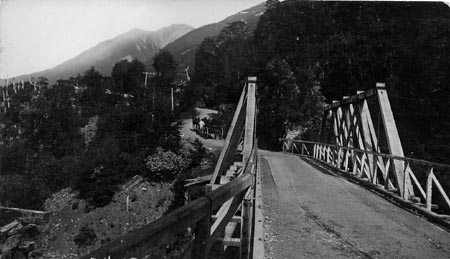
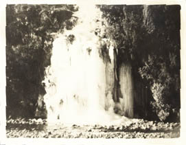
However, the scenery is fantastic over this route, as the early photograph of Falls at Arthurs Pass shows.
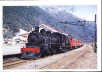
Almost at the top of the Southern Alps is Otira, a town with a pub, a cafe, an information centre and a railway station. The TranzAlpine rail tour is amazing, taking you through a place unlike any other, and in safety.
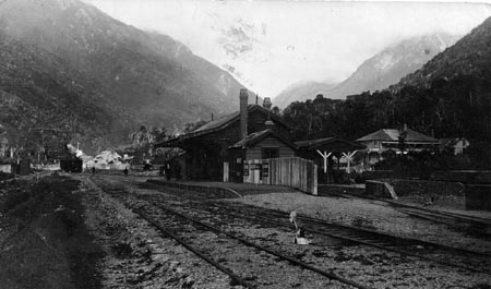
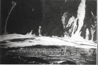
Since last updating this page, I was contacted by Wyn, a resident of Otira in 1948. Wyn sent me these fantastic photos of Otira from the 1940s and 1950s.
Go to the official Otira homepage
Links to all places featured on this site
My Genealogy Gateway
Home
