|
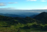
Looking north from Sourdough
Ridge (above Sunrise) early in the morning. |
|
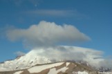
A varied assortment of celestial
and atmospheric features adorning Mt. Rainier in the morning. |
|
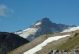
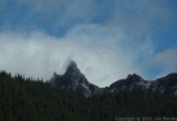
Little Tahoma. |
|
Uh, the moon, and, like, some
rocks. |
|
The valleys on the west side
of the mountain were filled with fog all day, which was constantly blowing
over the divide and dissipating - it was quite strange. |
|
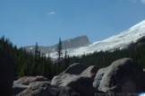
Aptly named Steamboat Prow
divides the Winthrop Glacier (shown here) from the Emmons Glacier (on the
far side). At the base is Camp Schurman, used by climers who take
the second most popular route up the mountain from the White River. |
|
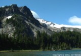
Mineral Mountain and Mystic
Lake. |
|
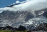
The north face of Mt. Rainier,
with Willis Wall and the accumulation zone of the Carbon Glacier. |
|
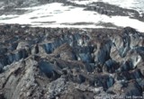
Crevasses on the Carbon Glacier. |
|
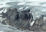
Meltwater from Russell Glacier
flowing onto the Carbon Glacier. |

|
The fog trying to advance out
of the Carbon River Valley over the east/west divide north of Mt. Rainier. |
|
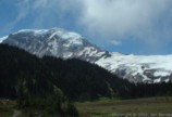
Mt. Rainier from the north. |

|
Terminus of the Carbon Glacier.
While most of Mt. Rainier's glaciers receeded 1 - 2 miles or more between
1850-1930, the Carbon Glacier has only receeded about 1/3 of a mile.
Now it has the lowest terminus of any glaciers in the park. This
is especially odd considering it starts at the base of a wall. There
are certainly many aspects to the habits of glaciers that are not well
understood scientifically. |
|
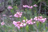
Phyllodoce sp. near
Windy Gap. |
