| FIND A VILLA | Triopetra Villas | Triopetra Beach | Video Triopetra Beach | Excursions |
| DAYTRIPS AND EXCURSIONS YOU CAN MAKE FROM THE VILLAS IN TRIOPETRA |
|
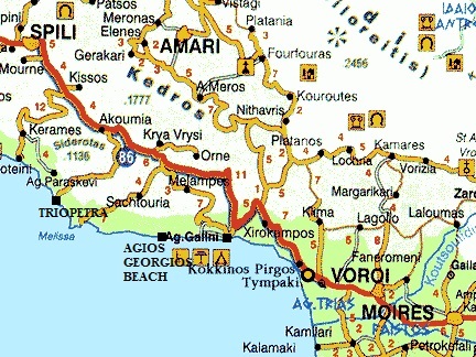
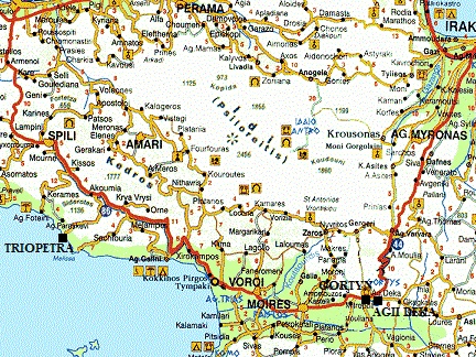
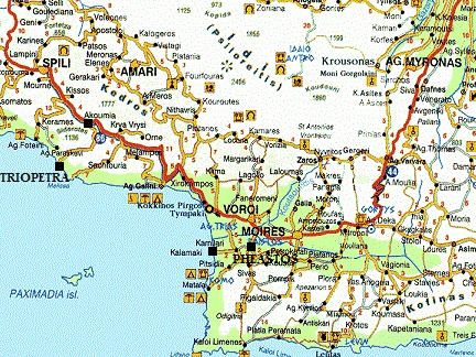
Below I have described a couple of day trips you can make from the villas in Triopetra. If you want to know more about a certain village, beach or church, then click on the link to read more about it and see all the pictures. These are just some examples of tours and walks you can do in this area, because there are a lot more. For some trips it is useful to leave early and keep track of how much time you need to drive back. |
| Trip 1: Akoumia - Asomatos - Preveli klooster - Preveli beach |
 |
 |
 |
 |
 |
|
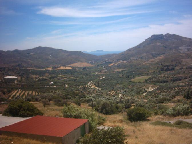
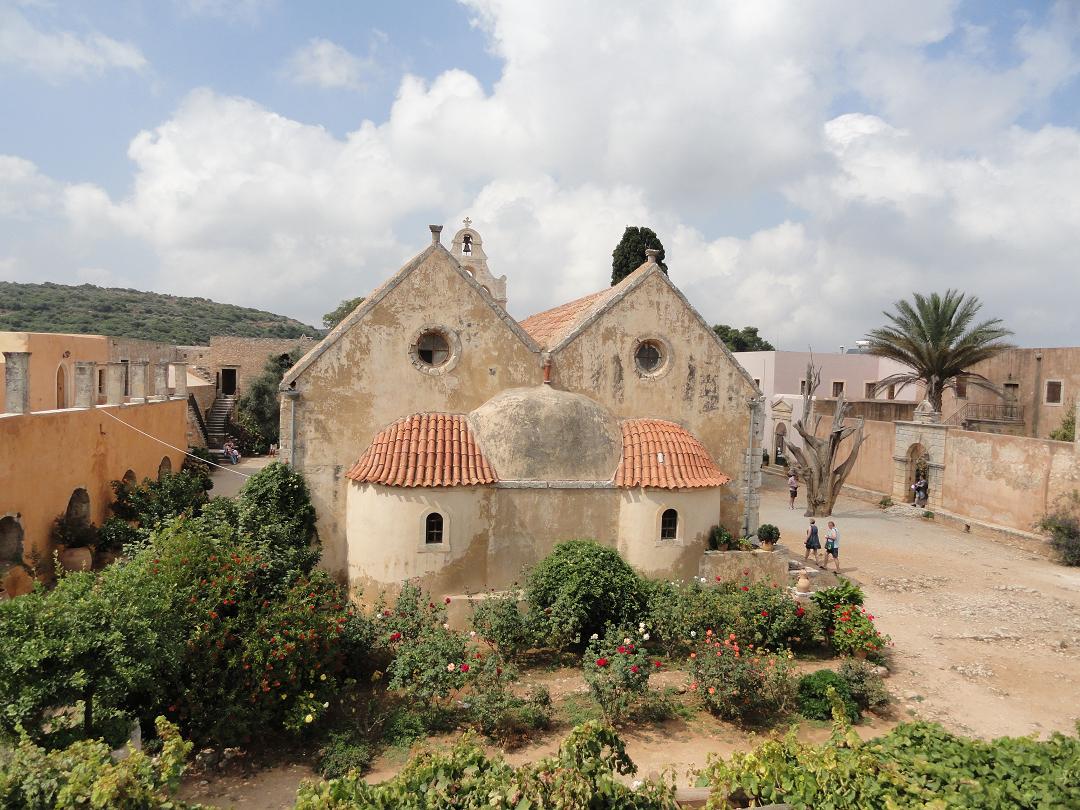
Asomatos is a small traditional village in the south of Crete close to Moni Preveli, on the Rethimnon - Armeni - Koxare - Moni Preveli road. There are a couple of taverns in the village and some rooms fro rent. Some of the old stone houses have fallen apart. From the village you have beautiful views over the Libian Sea and the Paximadia Islands. The monastery of Preveli was probably founded in the 16th century during the Venetian occupation. It consists of two seperate buildings: the Monastery of Saint John the Theologian, which is closer to the sea and is also referred to as Piso Moni (the monastery in the back), and the monastery of Saint John the Baptist, also referred as Kato Moni (the lower monastery), which is closer to the Megas River. The first part of the monastery (Piso Moni) is still in operation today. Preveli beach or Palm Beach is one of the most spectaculair beaches in Crete. |

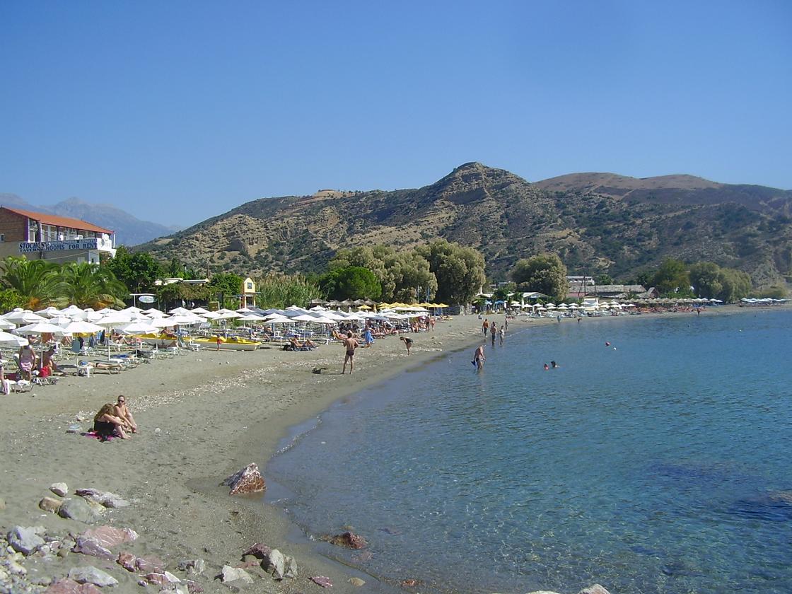
| Trip 2: Agia Galini - Agios Georgios beach |
 |
 |
 |
 |
 |
|
If from Agia Galini you drive upwards, back to the main road, you will see an exit on your left hand side leading to Agios Georgios. The beaches of Agios Georgios are situated in the south of Crete, at 7 7 kilometer distance of Agia Galini. The beaches of Agios Georgios are nice for people that are staying in Agia Galini and want a day with a change of scenery. It is pretty here, but too bad for the naturists...they have to go to Plakias or to the beautiful sandy beaches of Agios Pavlos. Some of the paths down to the beach are pretty steep, but you can get quite close to the different beaches of Agios Georgios by car if you want to. |
| Trip 3: Gortyn - Agii Deka |
 |
 |
 |
 |
 |
|
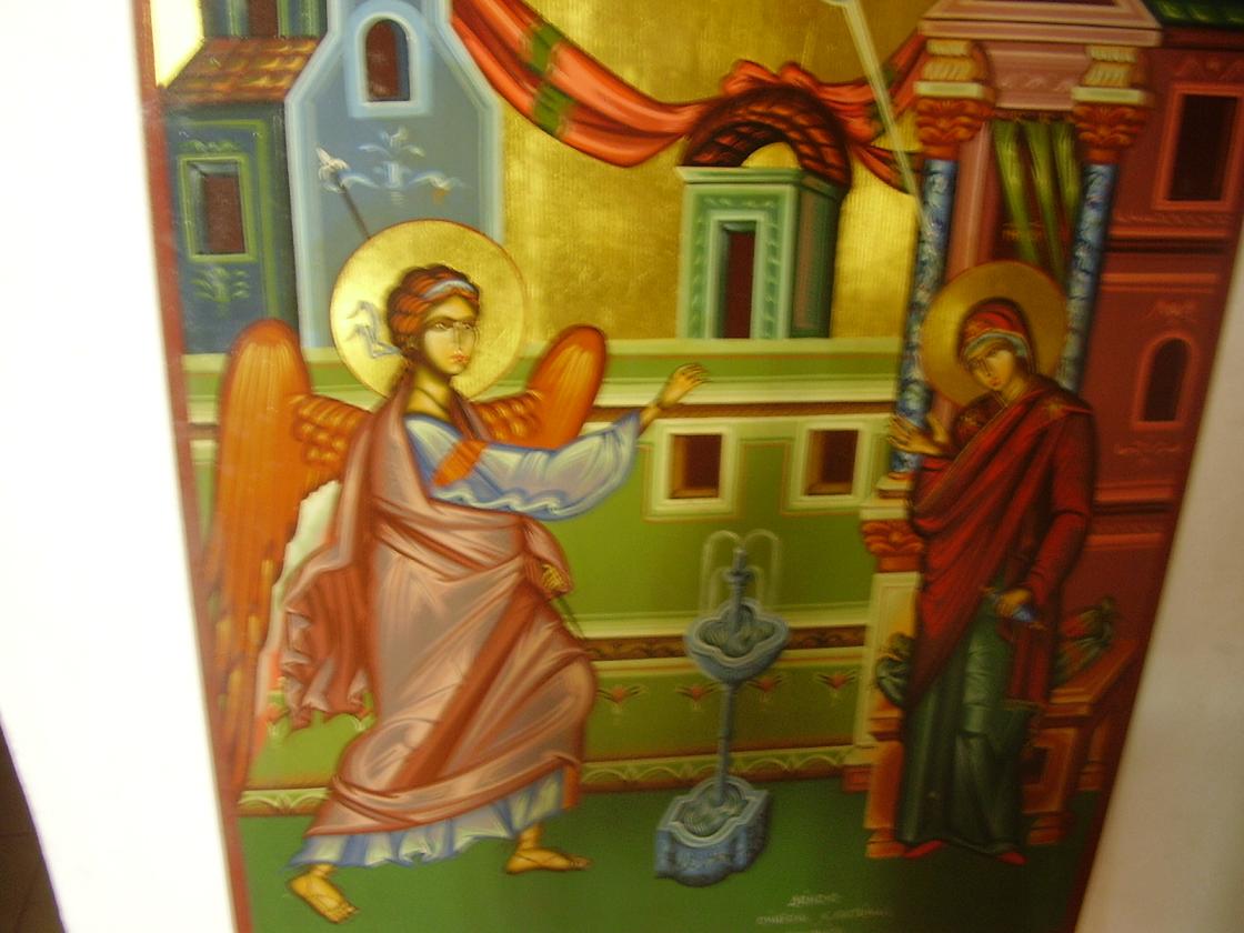
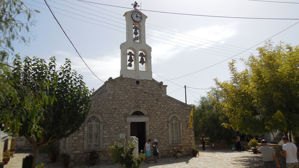
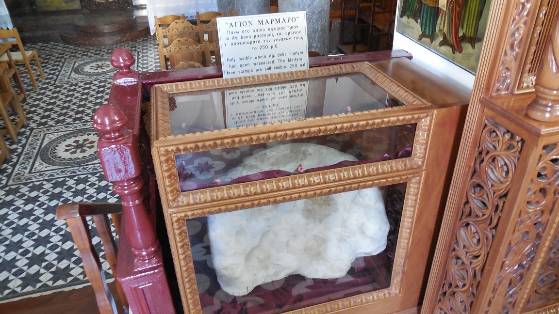
The village of Agii Deka is named after the ten early Christian Cretans that were martyred here on the 23rd of December 250 AD, for their opposition to the Roman emperor Decius. There are two interesting churches in the village and both are indicated by a sign from the main road leading through the village. The older of the two is on a square in the village center, the newer one can be found 150 meters further on the edge of Agii Deka. The 12th century Byzantine church of the same name was built on the spot where the ten martyrs were decapitated. In the nave of the church is an icon portraying the martyrdom of the saints and in a glass display lays the marble block on which they were beheaded. On the outskirts of the village is the newer church where you can see six of the ten tombs in which the martyrs have been buried. |
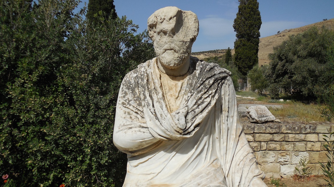
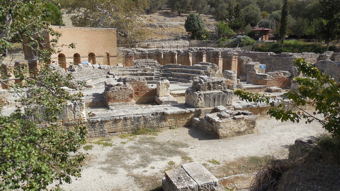
 The old city of
| Trip 4: Timbaki - Agia Triada - Matala - Kommos beach |
 |
 |
 |
 |
 |
|
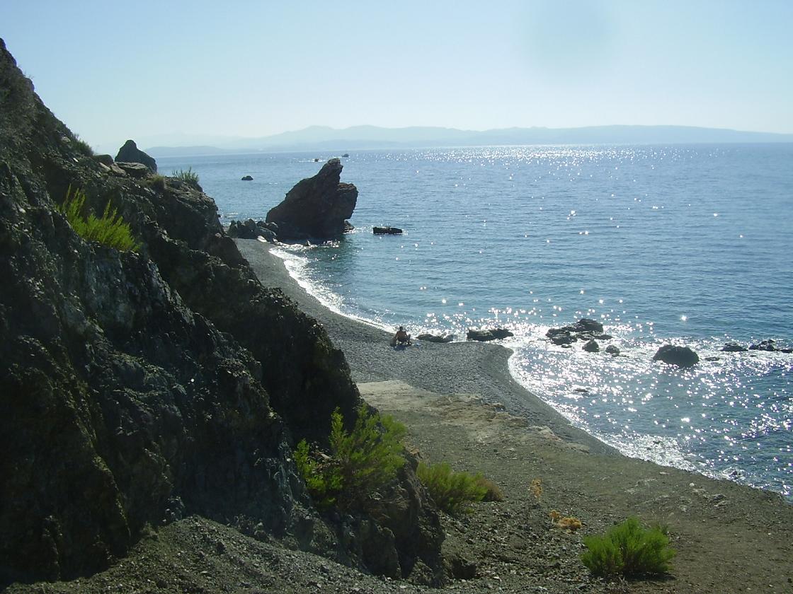
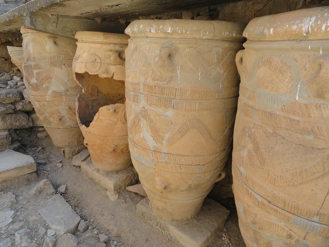
On the large square just behind the main road there are two churches: the new big church of Agios Titus stands beside the old church of Agios Titus (right, so both of the same name). The old church was once destroyed and rebuilt between 1922 and 1925. Inside the church are some old icons to be seen, but unfortunately the church was closed. Now, in 2011, they were again busy restoring this church. In front of the large church is an old airplane bomb(?) on a standard. Agios Titus is the patron saint of Timpaki and every year on August 25 the residents organize a party in his honor. The Agia Triada is a large Minoan excavation in the south of the island of Crete, close to the town of Timpaki. By the Italian archaeologists who have excavated the site it was named after a nearby abandoned medieval village that was destroyed by the Turks. If you drive eastwards from Timpaki towards Mires, the first exit on the right hand side goes to Kalamaki Beach and just after that you see the brown sign for the exit to the Agia Triada. From all Minoan palaces the Agia Triada palace has the most beautiful views The Byzantine church of Agios Georgios Galatas which stands inside the complex dates from the Venetian period and was built in 1302. Inside the church are fairly well preserved frescoes dating from the 14th century. The frame of the door is carved ans also above the door are sculpted decorations. Next to the door carved melons are hanging on the outside wall. Matala is famous for its man-made caves which are carved out in the sand stone rock next to the beach, which were first inhabited during the prehistoric period. Tombs found in the caves date from Greek, Roman and Early Christian times. The 1960s and early 70s brought an influx of foreigners to the area and the caves attracted numerous international hippies and other free-spirited travellers. Today, the Archaeological Service protects the fenced-off caves. The sandy beach is semi-circular and 300 metres in length. Despite its size the beach can become quite overcrowded. A path along the rocks will bring you to the red sand beach after a 25-minute walk. The beach of Kommos is quite spectacular and surprisingly undeveloped, probably due to the archaeological site and restrictions on private enterprise in the area. It's much more quiet than the Matala beach, and there's room for nudists as well (the beach is large so keep walking and you will see where the nudist part of the beach starts). In the beginning of the beach you can rent umbrellas and sunbeds, and you can get a drink at the nearby tavernas. If you want to visit the naturist beach than it would be wise to bring your own water supply. |
 There are some nice houses and churches in
| Trip 5: Akoumia - Pheastos / Festos - Kalamaki beach |
|
|
 |
 |
 |
 |
|
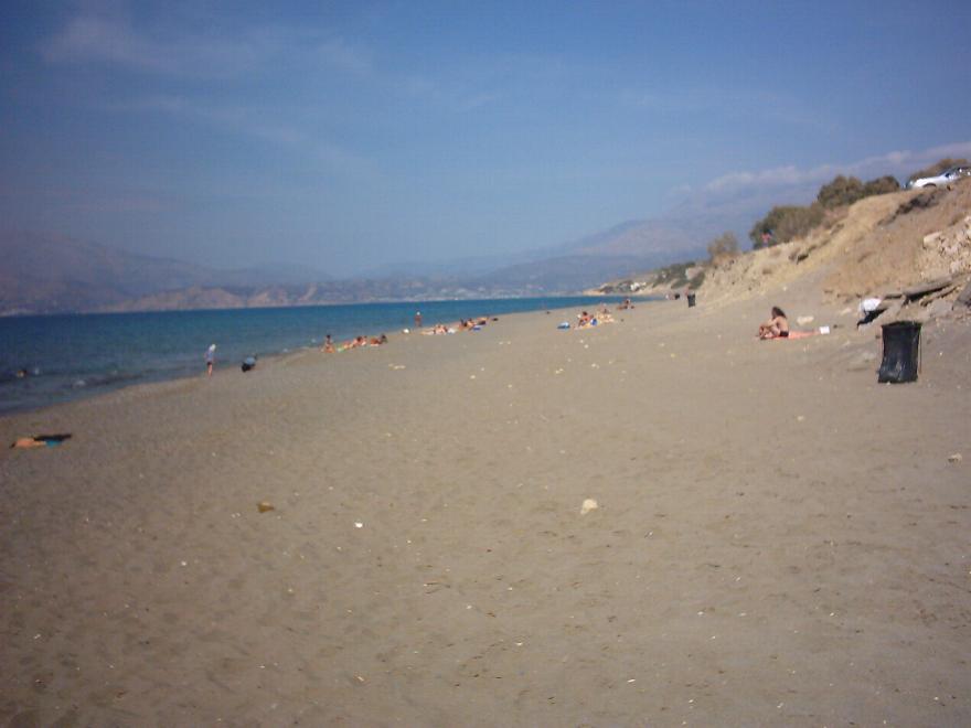
The palace of Phaistos (Festos), after Knossos the biggest Minoan palace on Crete, was situated on the west side of the Messara Plain. The area is very fertile and green, and the views over the plain are very impressive. The palace of Phaistos is set on a hill and below it lies the ancient town. It was destroyed by earthquakes several times and then rebuild again. Around 1700 BC a new palace was built on top of the ruins of the old one. In 1450 BC it was destroyed together with all the other palaces on Crete. The southern Kalamaki Beach has a beautiful 2.5 km long sandy beach where sun beds and umbrellas are for rent. Often sunbeds and umbrellas are free if you order a drink at the tavern where they belong to. In the village are several small shops, mini markets, a bakery and a large number of taverns, mainly on the lively promenade that is located along the beach (no cars). If you walk south for about ten minutes you'll come to a stretch of beach where there are some tamarisk trees, where there is also room for naturists. You have to be careful though because in between May and October there are nests with eggs of Caretta sea turtles on the beach. For this you will be warned by signs. |
| Trip 6: Spili - Rethimnon |
 |
 |
 |
 |
 |
|
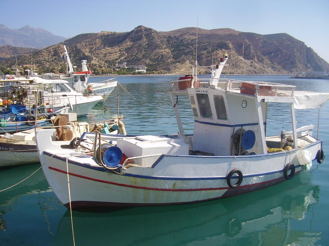
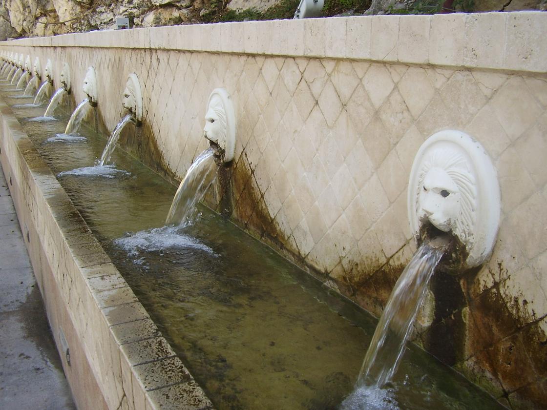
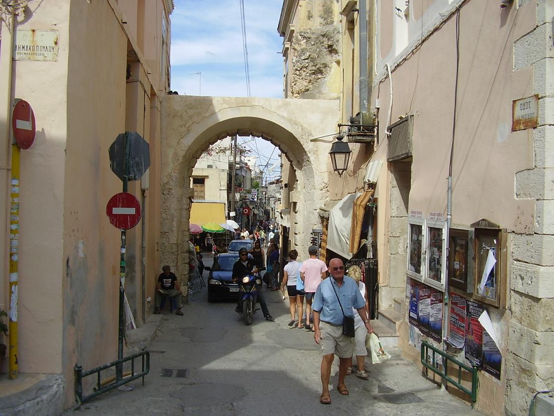
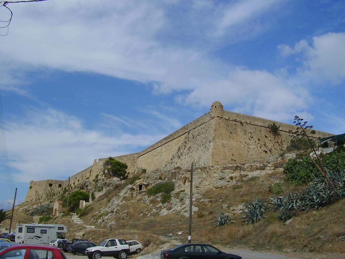
If besides monasteries and beaches you'd also like to see a pretty and cosy village than Spili (on the road from Agia Galini in the south to Rethymnon, which is 28km in distance) should be on your list. In Spili there is an abundance of water, so Spili is very green. There is a Venetian 'Kefalovrissi' fountain with 19 lion heads and 6 other fountains, that brings crystal clear, drinking water from the Psiloritis mountain. There are many shops with local products here (herbs, tea, nature products), as well as cafes and restaurants. In the streets you find many flowers and old churches. Rethimnon with its 20.000 inhabitants is one of the bigger cities on Crete, and unlike Chania and Heraklion it depends heavily on tourist for its ecistance. It has a historical centre with remains from all periods in history, including Turkish remains, and a Venetian harbour, lighthouse and castle. The harbour is one big stretch of restaurants that overlook the beach and the ferry harbour (with boats which go regularly to Piraeus). Directly behind the harbour is the old part of the town with narrow alleyways, tourist shops, Turkish minarets, churches, a city park, musea, Venetian style houses with covered wooden balconies, old mosques and an old Turkish bathouse with junk piled up in it. |

| Trip 7: KYRIANA - ARKADI MONASTERY - ANCIENT ELEFTHERNA |
 |
 |
 |
 |
 |
|
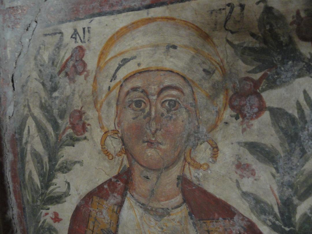
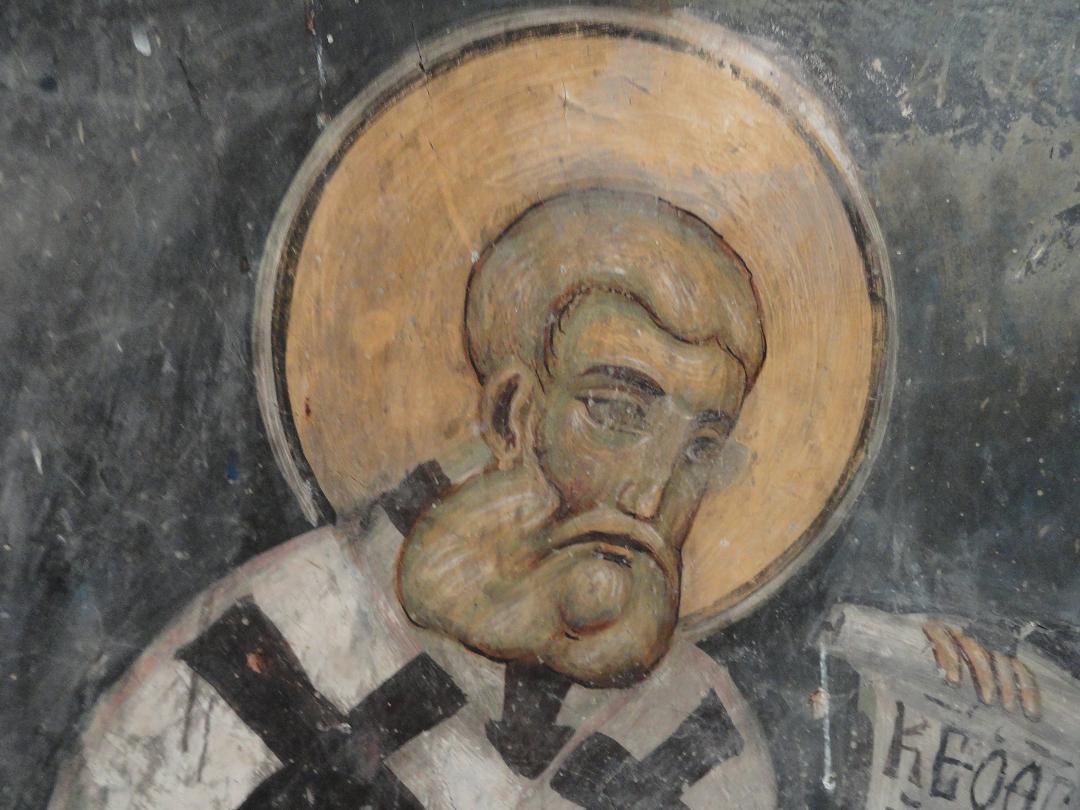
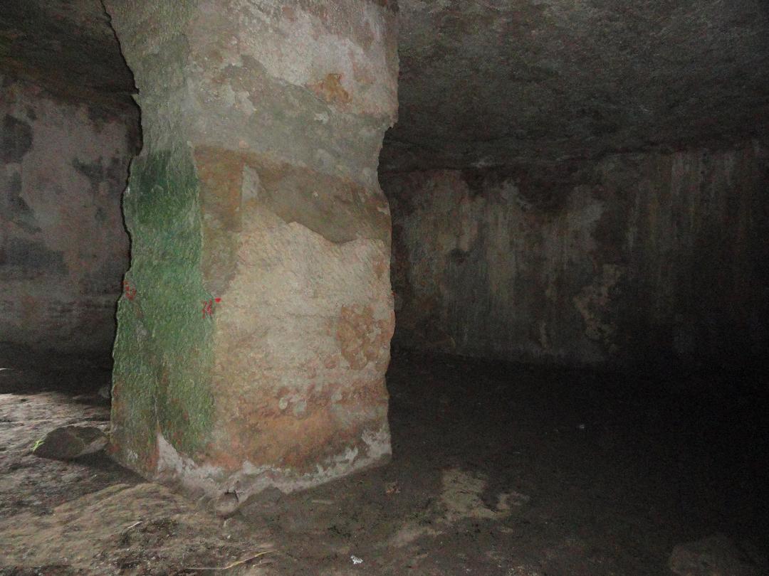
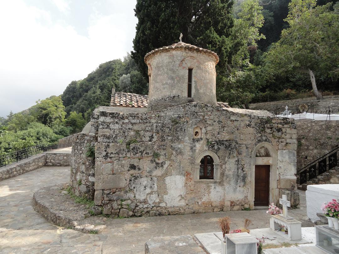
The Arkadi monastery was built in the shape of a fortress during the late Venetian period and dates from the 16th century. Its history goes back even further, to the Byzantine period, when a monk (probably with the name of Arkadios) founded the monastery. The monastery was named after him. The large church as it stands now was built in 1587 and it is built on the remains of a 13th century Byzantine church. The Arkadi Monastery is situated at an altitude of 500 meters and for the Cretans it is probably the most important symbol of the freedom struggle against the Turks. The monastery has a bloody history. In 1866, during the Turkish domination, 900 people (including many women and children) had fled to the monastery. The resistance was hopeless because the Turks possessed a superior force of 15,000 men and had brought cannons. After three days of fighting the Cretans blew up the gunpowder room of the monastery and many people died, both Turks and Cretans. Part of the bones and skulls of the defenders that were killed in this explosion, are being kept in a small building (the former windmill) opposite the amonastery in the parking lot. The village of Ancient Eleftherna is found in the north of the island of Crete, about 30 kilometers from the town of Rethimnon and not far from the Arkadi monastery. There is the normal village of Eleftherna and the village of Ancient Eleftherna, and they are a few kilometers apart. It is simply the name of the village and as such is indicated by a blue sign when you drive into it. If you stop and think here there is something for you to take a look at you will be disappointed, because it's just a sign with the village name. You have to drive a bit further to the junction in the village where there is another sign that indicates the sights and tells you which direction to go to. It is convenient to first turn left towards the cisterns (places where water was stored) and the acropolis, for this is the closest. From Minoan to early Christian times the area wass inhabited. On the left you will find the remains of a Roman tower, which was also during the Byzantine period. When the path ends and you turn left you will see the underground cisterns: a large water storage chopped out of the rocks. It is very deep and large and you can climb down to have a look inside. Turn right at the path and after some time you will see a bridge from the Hellenistic period. If you turn right you go towards the remains of an ancient Hellenistic city and a Byzantine church with a cemetery. Follow the sign that refers to the church. Ultimately you will than also end up at the ancient Hellenistic town (end of the road). This Sotiras Christos church dates from the 10th century AD and on the inside on the top of the dome of the church is a beautifully preserved frescoe of Jesus. The church has a cross shape, and it stands on the site of a basilica from the 6th century BC. It is thought that the older church was the seat of the bishop of Eleftherna. When building the Byzantine church Sotiras Christos materials were used from the older basilica. |

© Hans Huisman, https://www.angelfire.com/super2/greece/ 2018