
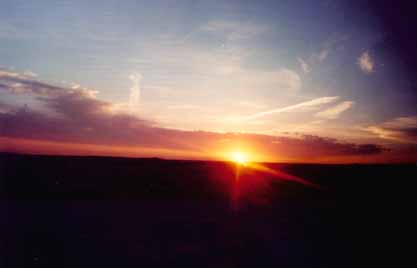
I thought this was one of the better pictures I took during the trip. I know the resolution might not be the best being on the web, but it really looks great in the actual picture. This was taken June 1, 2001 just outside of Dodge City.
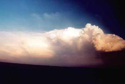
This was taken on the first day (May 27, 2001) of chasing (first for me overall in my life, too) in southwest Kansas just outside of Dodge City. It was part of the beginnings of a enormous MCS- Mesoscale Convective System (or for you non-weather dorks, a really big complex of storms). Within about 6 hours, this thing had cloudcover that covered most of Kansas and Oklahoma. We were in this for about 5 hours, give or take an hour break in the panhandle of Texas. It did massive wind damage in Oklahoma. On I-40, just about every billboard was blown over.
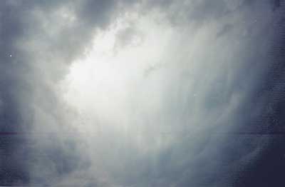
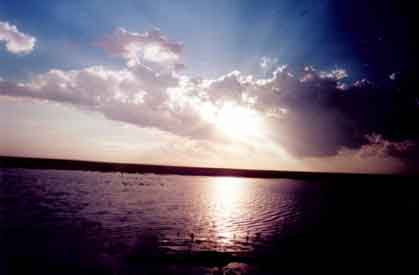
This picture was also on June 1, and it was of a dying thunderstorm. On the right you see almost a hook-like cloud. The cloud was disspating progressively back into the base of the storm. It was a pretty interesting thing to see.
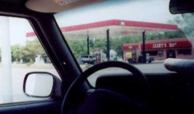
I honestly forget where this picture was taken, but I think it was somewhere in southwest Kansas.
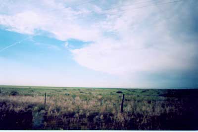
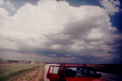
There's only one word to describe this picture...FLAT!
