
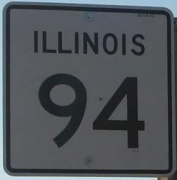
Illinois 94 is a north-south route in far-western Illinois. It begins in Rock Island County and runs south to a point east of Quincy, never straying too far from the Mississippi River.
Intersections from north to south:
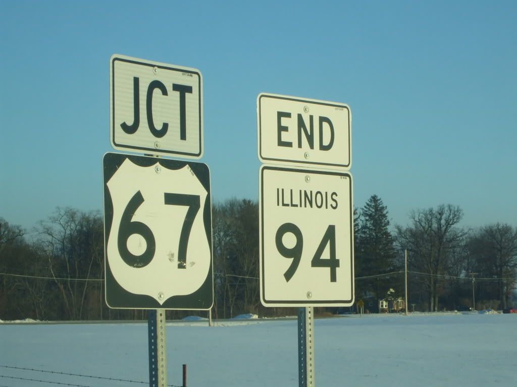
IL94 begins in the north at US67 in southern Rock Island County
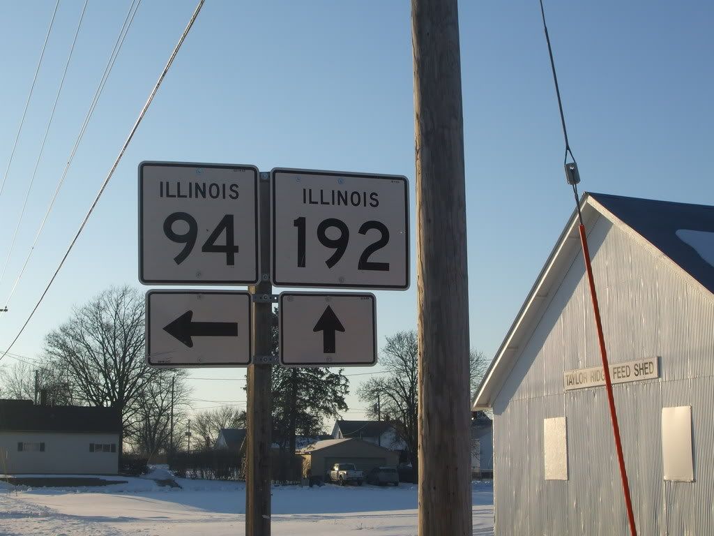
IL192 at Taylor Ridge
IL94 joins IL17 west at a point east of Aledo
IL94 breaks off of IL17 to head south in Aledo
IL135 joins IL94 from the east
IL94 breaks off to head west near Little York
After turning south again, IL94 crosses IL164
IL94 joins US34 west at Biggsville
Then IL94 breaks off to head south again, but at the same time, IL116 begins at US34 and follows IL94 south
IL116 breaks off to head east near Stronghurst
IL94 joins IL9 west at La Harpe
IL94 breaks off to head south again
Then IL94 joins with yet another route, US136; it follows that route east at Carthage
IL94 splits with US136
Near Carthage, the current extent of IL336 begins. This highway is planned to extend east to Macomb and then Peoria, but it currently ends with a multiplex with IL94 that ends near Carthage
IL94 splits with IL336
IL61 joins IL94 south at Bowen
IL61 breaks off to head west
IL94 ends in the south at US24 near Camp Point.
It passes through these towns: Taylor Ridge, Reynolds, Aledo, Biggsville, Stronghurst, La Harpe, Carthage, Bowen, and Golden.
IL94 only crosses one route without being multiplexed with it (IL164); it is multiplexed for at least some distance with every other route it crosses.
