
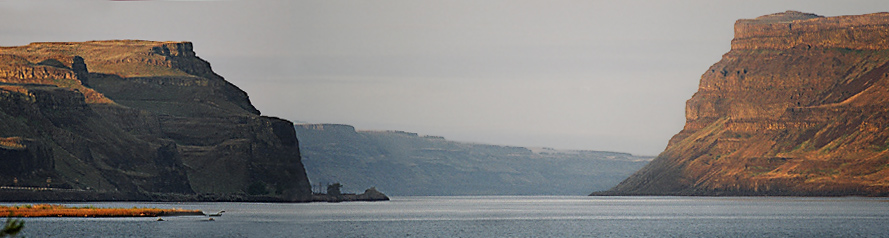
 Here it is ... Wallula Gap, the place I told you to check out on the map. This backed up a giant, massive, immense??? need more words to descibe this stuff ... how bout a humungous amount of water. Water poured over the ridges on each side of this gap and carved some cool knobs we'll get to in a page or two.
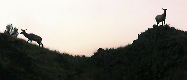 I was surprised to see a small elk herd at Wallula Gap. The were up eating an early breakfast.
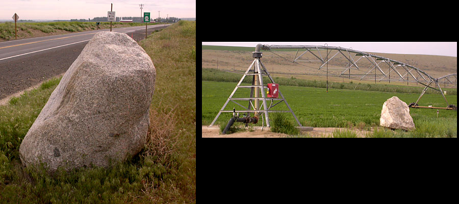 The bolders I'd mentioned that were rafted downstream on icebergs ... They're scattered throughout the flood zone. If you drive around the basin you'll see many that have been moved to the edge of the field or place near the house in a landscape project. The granite (and many other types of rock) boulders that litter the basalt covered landscape are known to geologist as "Erratics".
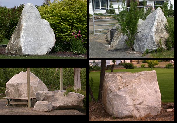 That big one on the lower left is being used as a windbreak at the kid's bus stop.
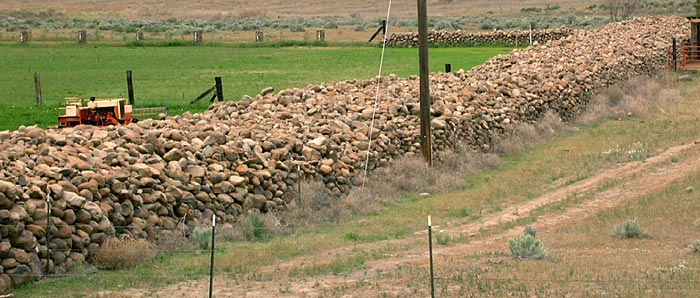 This guy must have grown weary of rocks damaging his farm implements. If you want to farm around Soap Lake and Ephrata, you've got to pick up a few rocks. The area is loaded with them. I guess what happened here is when the water flowed through the huge channel that now holds Park Lake, Deep Lake, Blue Lake, Lake Lenore and Soap Lake it was turbulant enough to move countless large rocks. Once the water fanned out onto the flat south of Soap Lake the current slowed and these rocks settled to the bottom. Wonder if after everyone realized how cool the ice age floods were ... they'll make this guy put the rocks back where he found them?
Click below for more photos
Page 6

