
|
|
|
Map of Cincinnati, OH in 1850 just before John George and Mary Dollmyer may have arrived. The yellow mark on the top right of the map indicates Locust St.. This is the location of the Henry Hust & Co. Undertaker that buried John George Passauer about Aug. 14, 1854. See the coffin receipt of John George Passauer. The receipt indicates that they went to Dayton Rd. While no Dayton Rd. has yet been found, note Dayton Street marked in yellow on the upper left of the map. The burial place of John George Passauer has not yet been found as of Jan. 1998.
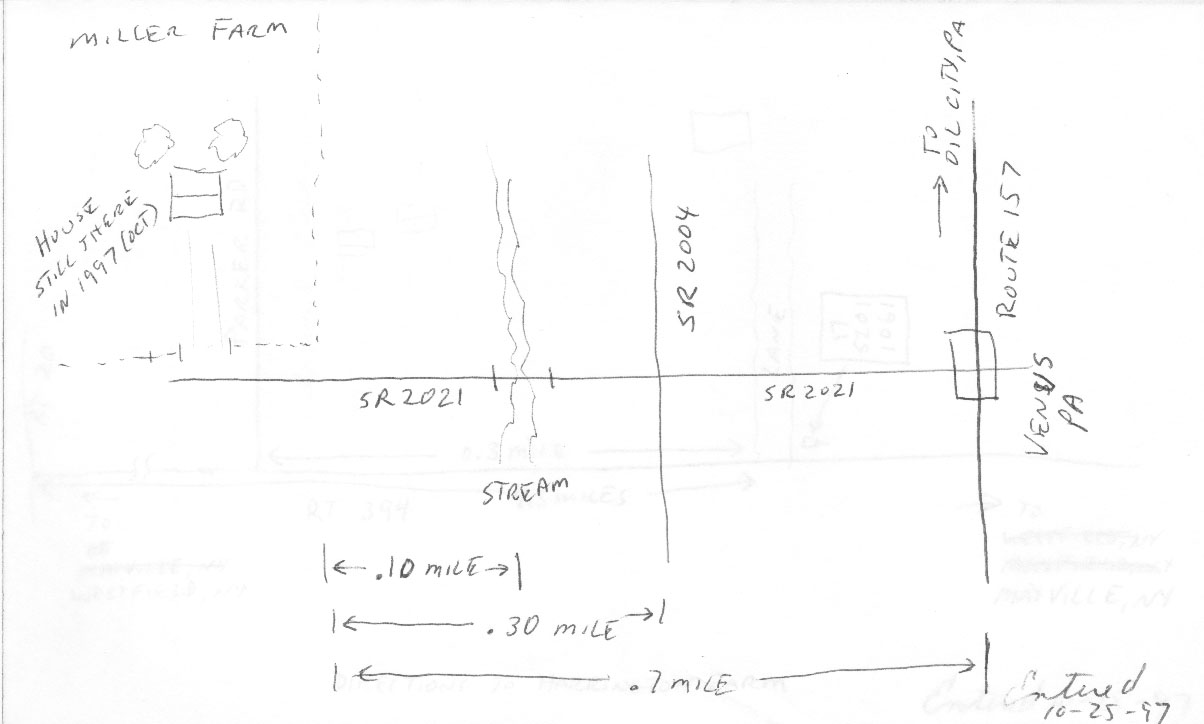
Directions to the Fredrick Miller Farm
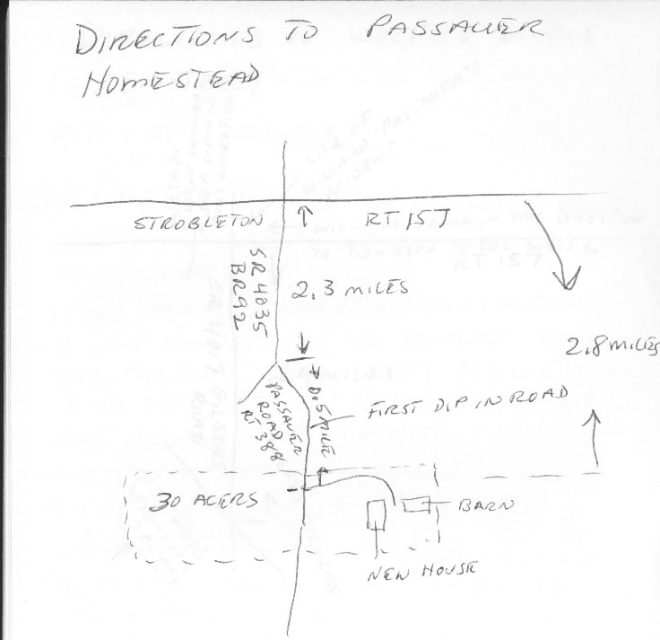
Directions to the Passauer homestead.
Directions to the Wolfes Corners cemetery.
France, showing the Alsace-Lorraine area.
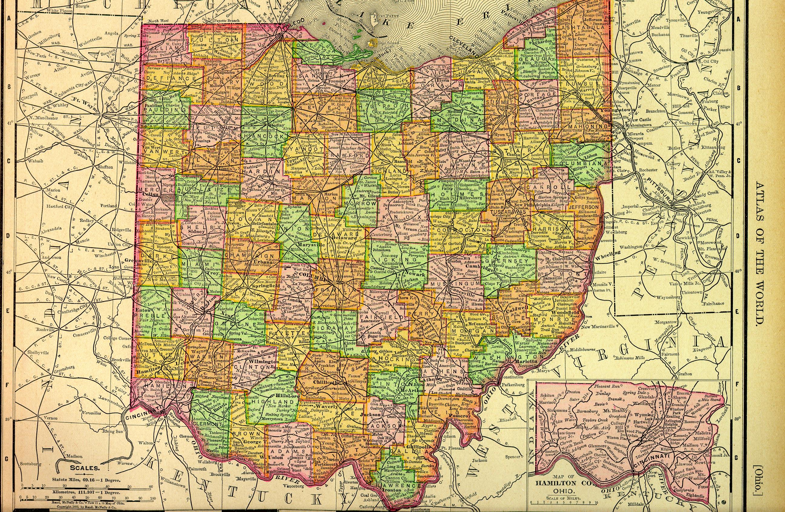
Map of Ohio in 1895.
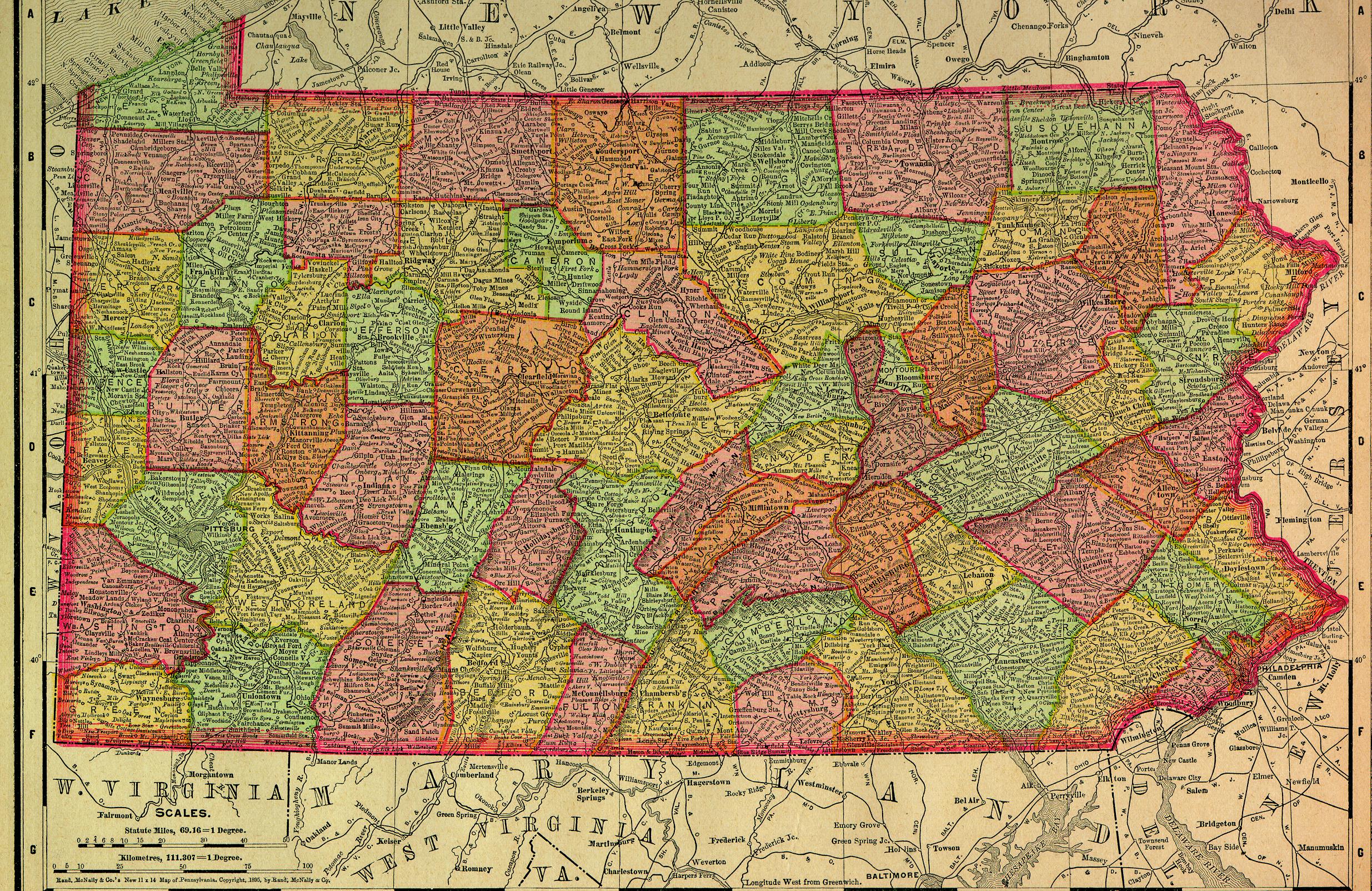
Map of Pennsylvania in 1895.
|


