
< 160 to 169 | Home | 180 to 189 > | ||||||||||||||||||||||||||||||||||||||||||||||||||||||||||||||||||||||||||||||||||||||||||||||||||||||||||||||||||||||||||||||||||||||||||||||||||||
|
|
|
| ROUTE LOG |
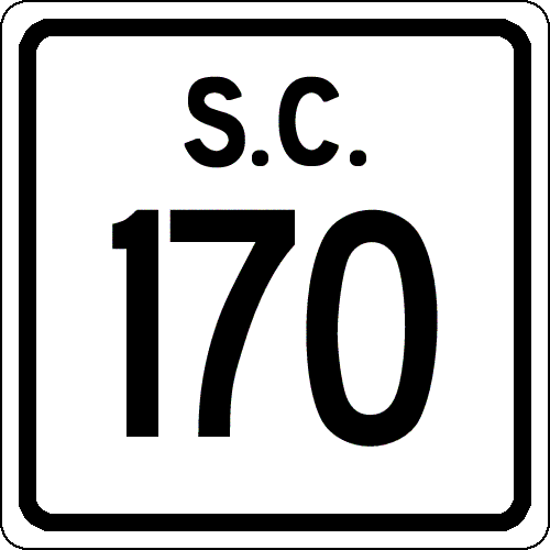
US 21: 0 - 0 SC 280: 1.5 - 1.5 SC 802: 3.1 - 4.6 Jasper-Beaufort Line: 7 - 11.6 Beaufort-Jasper Line: 1.2 - 13.8 SC 462: 1.8 - 15.6 US 278: 4.3 - 19.9 SC 46 EB: 4.4 - 24.3 Jasper-Beaufort Line: 2 - 26.3 SC 46 WB, SC 170 ALT: 0.6 - 26.9 US 17 NB: 3.7 - 31.6 US 17 SB: 1.6 - 33.2 GA STATE LINE: 3.1 - 36.3
|
Creation: Created in 1930 or 1931 as new primary routing. Originally ran only from US 17(current S-27-34) to SC 33 (current SC 46).
| Adjustments: In 1939, SC 170 was extended northeast to end just north of its current US 278 interchange. In 1940, SC 170 was extended north to SC 368 (current S-27-13) near Coosawhatchie. In 1941 or 1942, SC 170 north was extended again to US 17 Coosawhatchie. In 1949, SC 170 was extended from Coosawhatchie west to SC 128 (current US 278) Gillisonville. This had been SC 366 until 1948. In 1957 or 1958, SC 170 was rerouted to US 21 Beaufort over the new Broad River Bridge. This route had been part of SC 169 west of the river. The old SC 170 routing became today's SC 462. Around 1975, SC 170 was extended slightly south over what had been US 17, when US 17 was put on new nearby 4-lane alignment. In 1995 (official maps don't show this until a little later), SC 170 was extended south to Georgia, replacing part of US 17. Improvements: SC 170 was paved by 1932 on its original short routing. SC 170 was paved from SC 46 to today's US 278 in 1940. SC 170 was paved from today's US 278 to the Beaufort County Line in 1947 or 1948. SC 170 was paved everywhere except between US 17 and SC 128 (current SC 336) in 1949. SC 170 was finally fully paved in 1954. SC 170's first multilaned affair occurred when it was multiplexed with US 17 south of Hardeeville. The 2005 Official Map shows no other multilane sections, but the 2005 Rand McNally Atlas shows SC 170 4-lane across the Broad River area. I haven't been on SC 170 in over 10 years, so I don't know the actual status. Comment: SC 170's crossing of Lemon Island and the Broad River was very scenic as a 2-lane road. I wonder if widening has ruined it. Using the new US 278 alignment, Beaufort is now easily reached from I-95 NB via SC 170. SC 170 passes through the Savannah River Wildlife Refuge right before it heads into Georgia. |
||||||||
|
|
|
| ROUTE LOG |
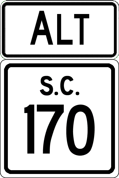
US 17: 0 - 0 SC 46, SC 170: 6.2 - 6.2
|
Creation: Created in 1971 or 1972 as new primary routing. Ran the way it does now. The northern half had once been part of SC 461.
| Adjustments: None Improvements: Paved since creation; no multilane segments Comment: SC 170 ALT was originally to connect SC 170 to US 17 ALT to reach Downtown Savannah. It still serves this purpose. SC 170 ALT is one of 2 ALT routes in South Carolina history to not meet back up with its parent (US 52A is the other). SC 170 ALT is not shown on the South Carolina map in the Rand McNally atlases, although in some issues the road is shown on Savannah, GA insets. It is usually unlabeled, and shown to be much twistier than it actually is. |
||||||||
|
|
|
| ROUTE LOG |
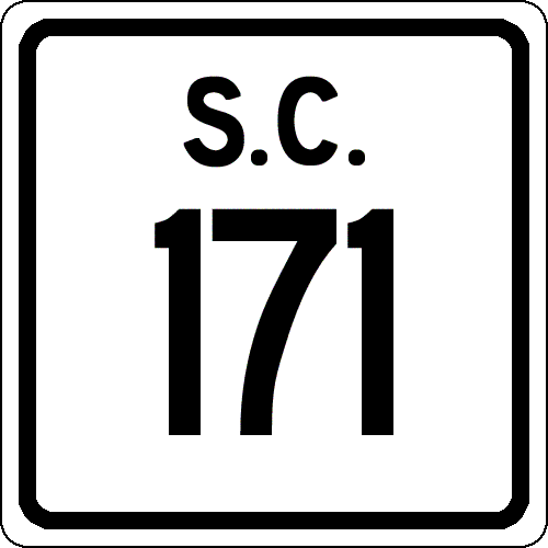
SC 7: 0 - 0 SC 61 NB: 1.7 - 1.7 SC 61 SB: 1.6 - 3.3 US 17: 0.1 - 3.4 SC 700 EB: 0.1 - 3.5 SC 700 WB: 1.2 - 4.7 END SC 171: 7.8 - 12.5
|
Creation: Appeared in 1955 or 1956 as a renumbering of SC 615. This is the 2nd SC 171.
| Adjustments: SC 171 may have only existed below US 17 briefly, but was extended north to SC 7 by 1958. From SC 61 NB to SC 7 may have been part of S-10-80 before becoming SC 171. Improvements: SC 171 was paved upon designation SC 171's multiplex with SC 700 was 4-lane by 1958. Between 1960-64, SC 171 was 4-laned from the SC 61 NB split south to the Long Island River bridge near Folly Beach. SC 171 was 4-laned between SC 7 and SC 61 between 1965-67. Comment: SC 171 is not posted on Folly Beach anymore. SC 171 serves Charlestown Landing State Park, where English settlers first came to the area in 1670. | Previous SC 171's: |
SC 171 #1: Appeared about 1930 as new primary routing. Ran from SC 261 (current SC 375) Greeleyville east to US 17 (current US 52).
In 1937 or 1938, SC 171 was extended east as new routing to US 521 (current SC 377) Bryans Crossroads. In 1949, SC 171 was renumbered as part of US 521. Note that SC 171 probably used S-45-19 through Salters and S-45-143 from Salters to Bryans Crossroads. |
||||||
|
|
|
| ROUTE LOG |
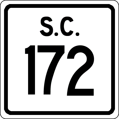
US 178: 0 - 0 SC 692: 0.2 - 0.2 Calhoun-Orangeburg Line: 4 - 4.2 US 21, SC 6: 4.8 - 9
|
Creation: Created as new primary routing in 1940. Ran as it does today.
| Adjustments: None Improvements: SC 172 was paved in 1949; no multilane sections on the 2005 Official Map Comment: SC 172 (with SC 6) provides direct access from I-26 to US 178 heading for North. |
||||||||
|
|
|
| ROUTE LOG |
SC 27: 0 - 0 US 78: 1.6 - 1.6
|
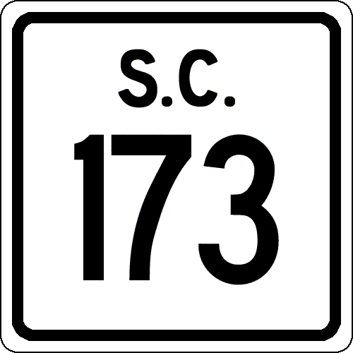
Creation: Created in 1940. Originally ran from US 78 west through Ridgeville and ending at US 15 Grover. US 78 to Ridgeville had been part of SC 27. This is the 2nd SC 173.
| Adjustments:In 1941 or 1942, SC 173 was extended east to end at SC 31 (current US 176), with a small gap between US 78 and the Berkeley-Dorchester Line. This brought SC 173 to a length of 26 miles. In 1948, SC 173 was reduced to its current paltry self, leaving behind S-18-19 and S-8-32. Improvements: SC 173's current routing was paved in 1940; no multilane sections exist. Comment: SC 173 is the shortest primary highway in S.C. to not cross a state line... | Previous SC 173's: |
SC 173 #1: Appeared in 1937 or 1938 as new primary routing. Ran from SC 27 Ridgeville north to US 78/SC 2, 1.3 miles away.
In 1940, SC 173 and SC 27 switched places between Ridgeville and the respective intersections with US 78. |
||||||
|
|
|
| ROUTE LOG |
US 17: 0 - 0 SC 162: 2.6 - 2.6 SC 164: 1.1 - 3.7 Colleton-Charleston Line: 17.7 - 21.4 END SC 174: 4.5 - 25.9
|
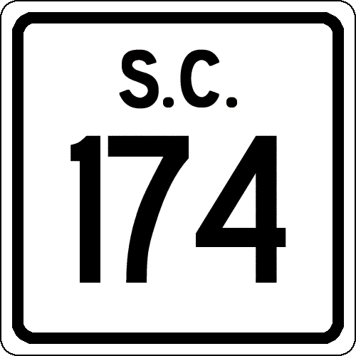
Creation: Created in 1937 or 1938, possibly running the way it does now.
| Adjustments: It is possible that SC 174 was created before US 17 was moved to its current alignment. Up until the 1937-38 timeframe, US 17 used today's SC 162 to Adams Run, then today's SC 174 north to S-10-40 to head over to the Edisto River. The 1938 Official Map shows SC 174 running to Osborn like today. In 1975, SC 174 was placed in Colleton County, when Edisto Beach was annexed over from Charleston County. Improvements: SC 174 was paved in 1939. No multilane sections are shown on the 2005 Official Map, although I seem to recall from the 80's that SC 174 along the oceanfront may be undivided 4-lane for a good piece of it. Comment: SC 174 also serves the Edisto Island Community. SC 174's endpoint in Edisto Beach has never been marked in my experience. The road curls around to meet back with SC 174 (there was a SC 174 marker at this intersection, indicating SC 174 went both ways), which by then you are on S-15-683. In the late 70's SC 174 was very dangerous, with sharp curves in the marshes (some of this has been straightened out). |
||||||||
| SC 175 not currently assigned | |||||||||||||||
| Previous SC 175's: |
SC 175: Appeared in 1927 as a renumbering of SC 411. Originally ran from US 17 (probably current S-45-186) Kingstree east to Hemingway, then north through Johnsonville, and ending at SC 38 (current US 501 Business) just south of Marion.
In 1937 or 1938, SC 175 was extended northwest from Kingstree to the Sumter County Line, and a separate piece was created between SC 54 (current US 378) and US 301 Sardinia. This made SC 175 69 miles long. In 1940, SC 175 was restored to its original Kingstree to Marion routing. Everything west of Kingstree became part of SC 527. In 1951 or 1952, SC 175 was renumbered: Kingstree to Hemingway became part of SC 261; Hemingway to Marion became SC 41 and SC 41 ALT. |
||||||||||||||
| US 176 |
|
|
|
| ROUTE LOG |
SC 9: 0 - 0 NC STATE LINE: 7.8 - 7.8
|
Creation: Appeared about 1960 as a renumbering of SC 77. Ran the way it does now. THis is the 3rd SC 177.
| Adjustments:None Improvements: SC 177 has been fully paved since designation. No multilane sections shown on the 2005 Official Map. Comment: SC 177 is an alternative to US 1, if you'd rather drive through Hamlet, NC than Rockingham, NC. Lou Corsaro noticed that this alternate has been touted back to the early days of auto touring. Check out the first paragraph in this 1920's Mixer's strip map | Previous SC 177's: |
SC 177 #1: Appeared around 1930 as new primary routing. Ran from US 176/SC 10 (current US 221-SC 56 split) Spartanburg north to the North Carolina State Line above New Prospect. The road continued as NC 192.
In 1936, SC 177 became part of SC 9. SC 177 #2: Appeared in 1937 or 1938 as new primary routing. Ran from US 176 (current SC 121) southeast through Pomaria and ending at US 76/SC 2 near Ballentine. In 1948, the north end of SC 177 was shifted to meet US 176 2 miles futher north, replacing what had been SC 664. The old approach to what is now SC 121 became S-36-81. In 1950, the north end of SC 177 was again shifted, this time to meet US 176 where the current US 176-SC 121 split is. The old way (old SC 664) is now an unnumbered dirt road. In 1951, SC 177 was renumbered as part of an expanded US 176. |
||||||
| US 178 |
| SC 178 not currently assigned | |||||||||||||||
| Previous SC 178's: |
SC 178: Appeared in 1927 as a renumbering of SC 413. Originally ran from US 17 (current SC 402/S-8-360 jct) near Moncks Corner east to SC 511 (current SC 41) Jamestown.
By 1931, SC 178 was extended east to the Charleston County line near Honey Hill. In 1932, SC 178 was renumbered as SC 179. Today it is S-8-360, US 17 ALT, and SC 45. |
||||||||||||||
|
|
|
| ROUTE LOG |
US 17: 0 - 0 NC STATE LINE: 0.9 - 0.9
|
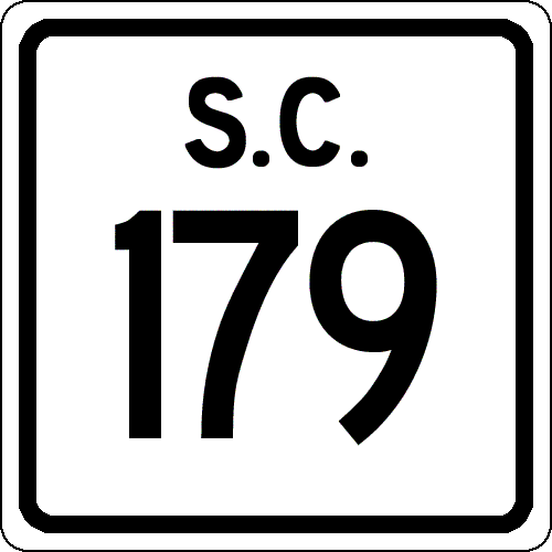
Creation: Appeared between 1980-82, running the way it does now. This replaced some secondary routing.
| This is the 2nd SC 179. Adjustments: None Improvements: SC 179 was fully paved upon creation. No multilane sections shown on 2005 Official Map. Comment: SC 179 serves as a way to get from US 17 to the Calabash/Sunset Beach/Holden Beach areas. SC 179 is the shortest state route in South Carolina. | Previous SC 179's: |
SC 179 #1: Created in 1932 as a renumbering of SC 178. Originally ran from US 17 (current SC 402/S-8-360 jct) east through Jamestown to the Charleston COunty Line near Honey Hill.
By 1938, SC 179 was extended west across the W. Cooper River (over what had been US 52) to meet US 52 a little further south. Also, SC 179 was extended east to McClellanville, just east of US 17-701. THis brought SC 179 to a maximum length of 43 miles. In 1948, SC 179 was truncated to run from US 52 to SC 511 Jamestown. Jamestown to McClellanville became secondary, but is today SC 45, except east of US 17 which is S-10-1189. In 1949, SC 179 west end was moved north to meet US 52 at the current US 17 ALT-US 52 split north of Moncks Corner. The old route became S-8-360 east of SC 402, S-8-342 between the Tail Race Canal and SC 402, and S-8-343 west of the Tail Race Canal (no bridge). SC 179 was renumbered as part of SC 64 in 1950. Today this is now part of US 17 ALT. |
||||||
Previous: SC 160 - 169 |
Next: SC 180 - 189
Top | South Carolina Hwy Index
Home

