

Space Shuttle photograph of Samana Cay taken on October 17, 2002 from an altitude of 200 nautical miles (NASA photo no. STS112-E-6358). Annotations have been added to indicate the location of theorized paleogeographic features. Geologic coring and analysis of the basinal region delineated may corroborate computer model predictions of the former existence there of a surface water body.
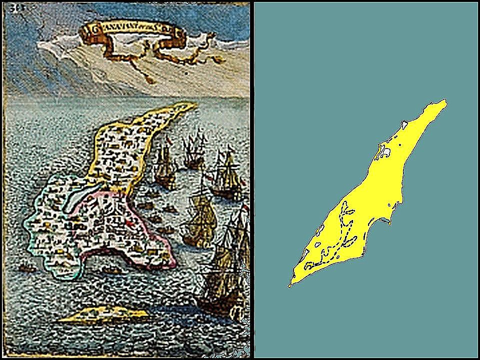
LEFT: 17th century map of Guanahani, from Mallet's Description de l'Univers (1683), showing the "laguna in the middle" feature described by Columbus.
RIGHT: Modern map portrayal of Samana Cay, illustrating general similarities with the Mallett map.
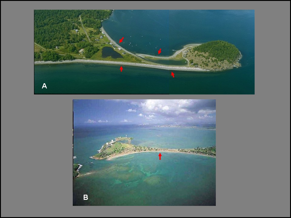
Examples of a island-linking tombolos (wave-built sand ridges), indicated by red arrows, such as may have existed on the eastern end of Samana Cay in accordance to Columbus’s description. (A) Lagoon-enclosing double tombolo at Decatur Island, Washington, USA. (B) Single tombolo at Punta Salinas, Puerto Rico.
