This Hike can be done a variety of ways . (in Reno off Mt.Rose Highway) This Trail is actually a 9 mile loop , However I usually go up the back side and do 2 1/2 miles to the old Jeep road and then follow the road up towards the back end of Mt. Rose. If you continue on this loop it will lead you to Church's Pond . I haven't gone that far yet . Also this is the same trail that we went snow camping on . This is a good dayhike and snowshoe hike .

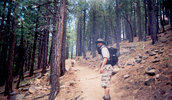
This Picture was taken on the Horseman's trail at twin lakes (next to Bridgeport ,CA) I'm guessing it was about a 3 mile hike to where we took this picture . It may have been further . The hike is pretty smooth and the switchbacks take you towards a water fall the whole way up . Also at about 2 1/2 miles up there are some nice ponds . Im told that the other side of this mountain is Yosemite . I'm thinking it would be a nice treck over the mountain. I'm going to try and get some maps and figure out the terain. this might be a good week long hiking/camping trip .
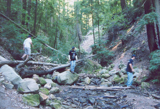
From Reno take 80 west to 20 towards Nevada City ,CA . Then make a right onto 49 and drive down to North Bloomfeild road .Make a right onto this road .(there is a fire station on the coner of 49 and north Bloomfield) Follow that road forever ....and you'll go down some zig zags ,cross a single lane bridge and then drive on a dirt road for a while .You'll soon arrive at the camp grounds . There are many trails from there and most of them hook up with the big ones like Independence trail and the pacific crest .
 sometimes......it's
cold in the morning............
sometimes......it's
cold in the morning............
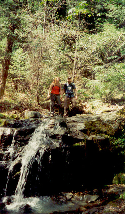
 This
creek had all these little newts around it
.
They were silly!!!!
This
creek had all these little newts around it
.
They were silly!!!!
In San Jose .... take 85 west and get off at Saratoga Blvd.Make a left and drive towards West Vally College. Take that road all the way down until it becomes a highway (I think 5 ) . Then drive up that road till you hit Skyline . This should be after you pass Saratoga hot Springs . Make a left on skyline and drive for a while . (if you drive on 5 and make it all the way to the Rod and Gun club .. you've gone too far .)It will look, like you're headed towards nothing but soon you'll come to a small bridge and then after that the Park enterence . Watch for deer on the road and last time I drove on it some sections had fallen away so be careful .

Grover Hot Springs
State Park
3 mi. west of Markleeville, CA on Hot Springs RD5840' el.
Of Interest: picnicking, exhibits, trails, hot springs pool, camping
Campground: 76 sites, trailers to 24', campers to 27' open year round no showers
Hot Springs pool open all year.
(916) 694-2248
(916) 525-7232
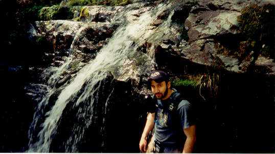
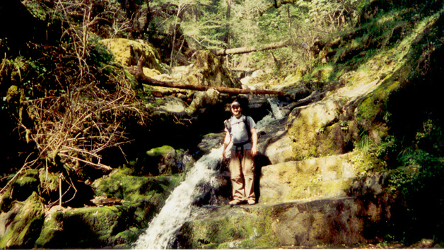
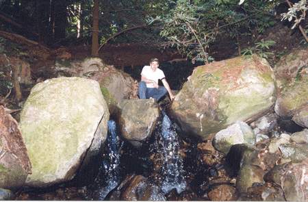
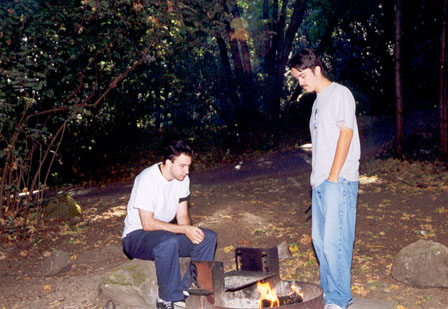
This place has excellent campsites with a nice variety of rocks and trees . For those of you that use tents be careful of your stakes . Some campsites have granet under the dirt. The sites here have excellent bear box designs and there are several trail that you can take . One of these trails lead to this water fall which I'm sure is wonderful in the spring. . There is also a hot spring pool and a cold pool . Last time I was there it was 3 bucks for adults and there was also a child rate. While sitting in the hot pool you can look up at a nice mountain landscape.
From Reno :
Take 395 south towards Carson City .
Keep going through Carson City towards Minden and Gardnerville.
Right around Minden you'll see Nevada State Route 88 . Make a right on 88 west and drive to Markleeville .
while on 88 there will be a sign that says Markleeville and will be pointing to the left . Make a left at this sign .
One block into Markleeville there is a sign (Grover Hot Springs ) that directs you to make a right .
This road will take you to Grover Hot Springs.
I don't know if these phone numbers are right but I got them off the state website.
