Historical U.S. Federal Route 66; Stauton to St. Louis
Roads of the Mid-South & West > Highways of the State of Illinois > Historical U.S. Federal Route 66, Illinois > Historical U.S. Federal Route 66; Stauton-to-St. Louis Metro East
From Stauton to St. Louis, U.S. Rt. 66 kept going in a southwestern direction, but crossed the Mississippi River in several different places. RMS&W has only documented the path that is signed with the "Historical U.S. Rt. 66" shields.
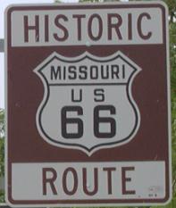
U.S. Rt. 66 crossed the Mississippi River on now closed Chian of Rocks Bridge, Mc Kinley Bridge, and at Downtown St. Louis.
From the intersction of the 1926-30 alignemnet, from Springfield, and the 1930-1977 alignment at Illinois State Route 4 and Interstate 55, south of Stauton, U.S. Rt. 66 travels southwest along the frontage road.
Hamel
At Hamel, you'll see the neon cross on St. Pauls Lutheran Church. Here U.S. Rt. 66 follows Illinois State Route 157.

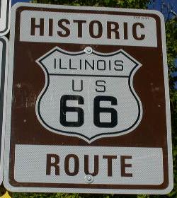
The welcome sign on NB U.S. Rt. 66.
Edwardsville
Illinois State Route 157 will take you through Edwardsville. Just before Interstate 270, U.S. Rt. 66 tunrs along a road that runs along the northside of the highway.
Pontoon Beach
Just west of Pontoon Beach, U.S. Rt. 66 turns onto I-270 then gets back off at Old Alton Road. This is to cross a set of railroad tracks.
Granite City
Just south of Interstate 270, U.S. Rt. 66 takes Chain of Rocks Road to the Illinois/Missouri State Line. Near Illinois State Route 3 there is a little custard stand.

The sign out front.

The stand.
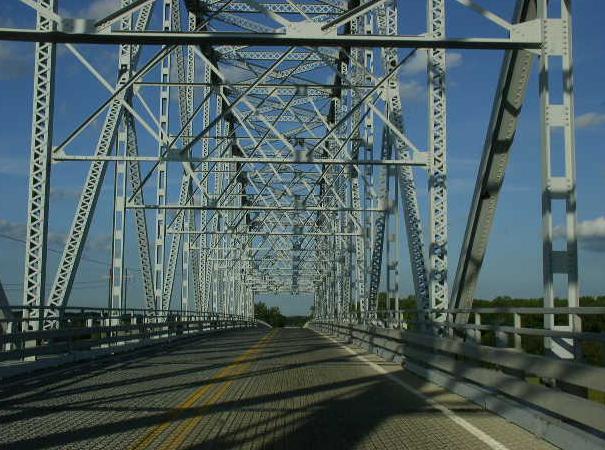
The marked route turns north on Illinois State Route 3 and joins Interstate 270 to cross into the State of Missouri. Old U.S. Rt. 66 continued west along Chain of Rocks Roads to a old bridge to cross the Mississippi River. This bridge is now a bike trial across the river.

A old gas station just west of IL St Rt 3.
Madison
The City of Madison maintain a big bridge over the Chain of Rocks Canal. This leads U.S. Rt. 66 onto Chouteau Island.

NB U.S. Rt. 66 at the canal bridge.
NB U.S. Rt. 66 crossing the Chain of Rocks Canal.

The sign on SB U.S. Rt. 66 for Chouteau Island.

Looking north along U.S. Rt. 66 at the end of the pavement at the Chain of Rocks Bridge.
U.S. Rt. 66 crossed the Mississippi River on the Chain fo Rocks Bridge. It was 24 feet wide and had a sharp turn in the middle. Now it is a bike path across the river. The bridge is over a mile long.
More U.S. Rt. 66 info.
From Roads of the Mid-South & West


