Historical U.S. Federal Route 66; Springfield-to-Stauton, Illinois 1926-30
Roads of the Mid-South & West > Highways of the State of Illinois > Historical U.S. Federal Route 66, Illinois > Historical U.S. Federal Route 66; Springfield-to-Stauton, Illinois > Historical U.S. Federal Route 66; Springfield-to-Stauton, Illinois 1926-30

This is the original aligment of U.S. Rt. 66 in Illinois. This section was in commision from 1926-1930. Starting on Illinois State Route 4 3 miles south of Staunton and going all the way to Springfield. The majority of the 1926-30 section is on IL St Rt 4.
Staunton
This is the first town you come to.
Benld
This is the first place where IL St Rt 4 (Old U.S. 66) is multi-plexed...here it is with IL St Rt 138.
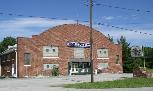
The old Coliseaum Ballroom at Benld.
Gillespie
This is the next major town. This is the second place IL St Rt 4 multi-plexes on this segment.
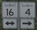

A few signs in town.
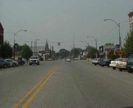
NB IL St Rt 4 in Gillespie
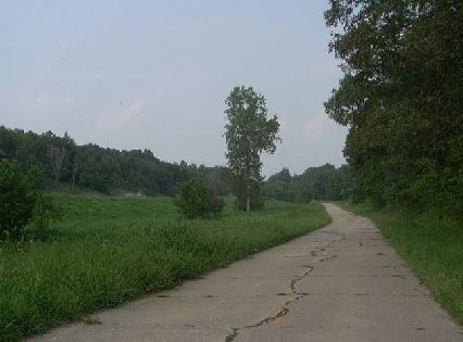
Rural Macoupin County
As you journey up Il St Rt 4 you'll find U.S. 66 turns to a side road for it's route.

This is a worn, narrow, two-lane concrete road.
This is about a 1/4 north of the above picture. The current IL St Rt 4 is to the right on the hill.

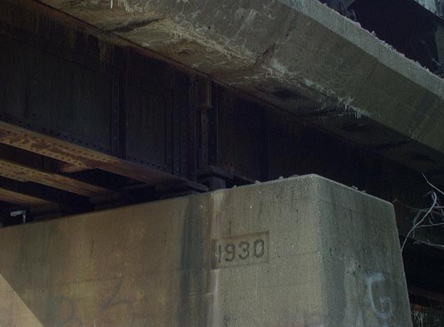
An orignal bridge from the days that U.S. 66 went through these parts.

The plaque from the bridge above. Dating the bridge back to 1920.
Carlinville
This is the biggest of the towns that you come across so far on the 1926-30 segment. This is home to Blackburn College. Plus, its the home to the Macoupin County Courthouse.

IL St Rt is multi-plexed with IL St Rt 108 through town.
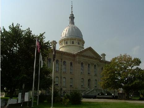
The Macoupin County Courthouse. Worth stopping for a picture.
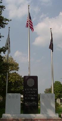
On the grounds of the courthouse is the Macoupin County Veterns Memorial.
After you go past the courthouse IL St Rts 4 & 108 turn and come to a very nice town square. This is also where they go their seperate ways.
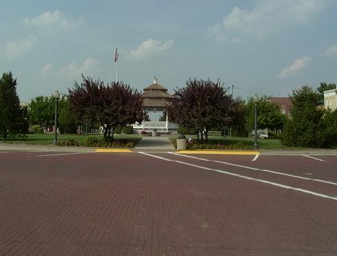
This is what you see when you approch the square.
The square in Downtown Carlinville and the Macoupin County Courthouse in the background.

Signage on a pole in the square.
Nilwood
This is a little town that time has not been kind to. Besides a bar and the United States Post Office, there is not much to this town. IL St Rt 4 by-passes the town. U.S. actually went through the town and on the east side turned north then went northeast on the side of town.
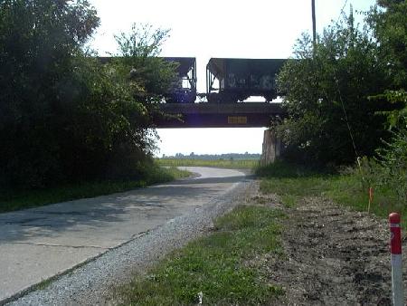
A older Railroad underpass north of Nilwood. This dates back to 1930 (Click on Pictures for date in peir). This view is looking west. The bridge either belongs to the Union Pacific or Norflok Southern Railroad.
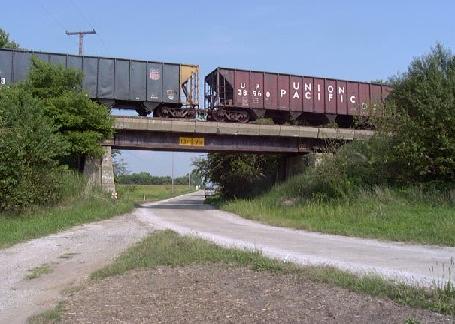
Same railroad bridge looking east.
Looking west as U.S. Rt. 66 curves south towards Nilwood. Notice how warn the road is from years of service.
GilardThe only this memerable about this area is the amount of railroads. Tracks from the Union Pacific, Norfolk Southern, and Burlington Northern-Santa Fe Railways all intersect here.
Virden
Another nice town. They do have a town square. Not quite as nice as Carlinville...but aged...
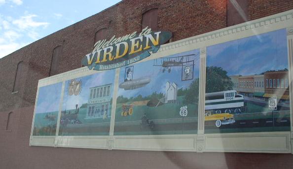
A mural north of the square.
Auburn
Rt. 66 runs along the western edge of Auburn, bypassing the town.
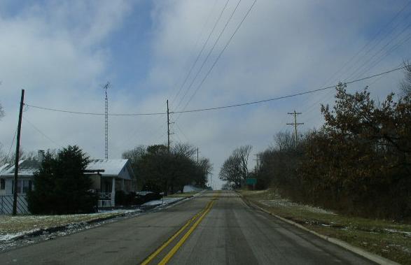
NB Rt. 66 at Auburn, just north of IL St Rt 104.
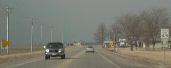
Rural Sangamon County
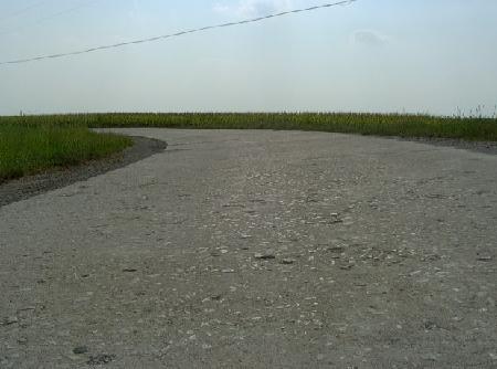
Just north of a small town called "Thayer" that IL St Rt 4 by-passes, U.S. Rt 66 splists off from IL 4. Actually when the raod was up-graded to current standards IDOT straighted the road to a "S" Curve from two sharp curves. The orignial section is still cobel stone. and striped.
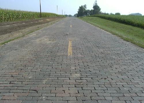
Looking south on the stone section
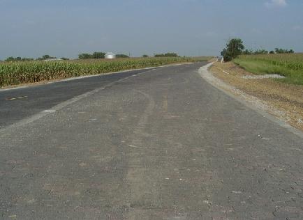
Looking northeast as the road turns from north-south to east-west.

Looking east.
In this section there are two bridges over the Sugar Creek. As of September 1st, 2002, one had just been replaced, and the other one is in the procces of being replaced. The cobbel stone stayed with the bridge and old style cement gaurd rail stayed.
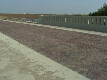
Looking at the deck. Notice the new cobel stone...
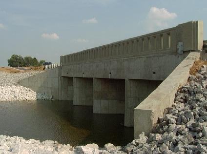
A side view of the bridge.
Chatham
Springfield
Rt. 66 enters the capital on Old Chatham Road. At Wasbash Ave. Rt. 66 turns to the east. If you head west on Wasbash Ave. it will take you back to IL St Rt 4 (Veterans Parkway). At the corner of Wabash Ave. and IL St Rt 4, is White Oaks Mall, and many shops and resturants.
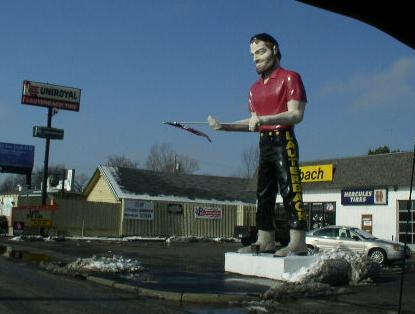
Muffler Man on Wabash Ave.
This alignment of Rt. 66 turn to the north along Mac Arthur Blvd. At South Grand Ave. Rt. 66 turns and head east.

SB Rt. 66 on South Grand Ave, east of Mac Arthur Blvd.
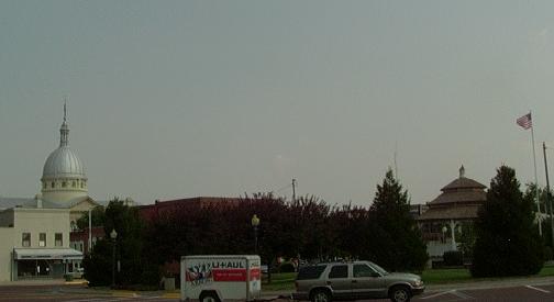
Rt. 66 head north into Downtown Springfield on 2nd Street. In Downtown Springfield, it passes in front of the Illinois State Capital. There are many attractions, the Old State Capital, Abraham Lincoln's home, the Prairie Capial Center, and many more.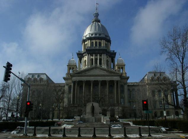
The Illinois State Capital.
North of Downtown Springfield, Rt. 66 passes a college and leads to Illinois State Fairgrounds.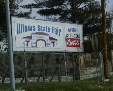
The sign at the IL St Fairgrounds.
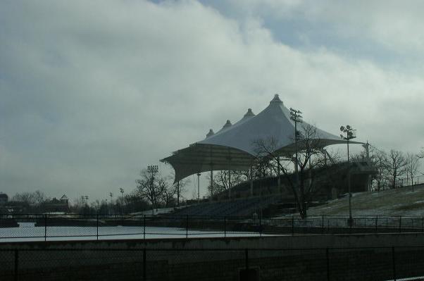
A set of grandstands on the fiargrounds.
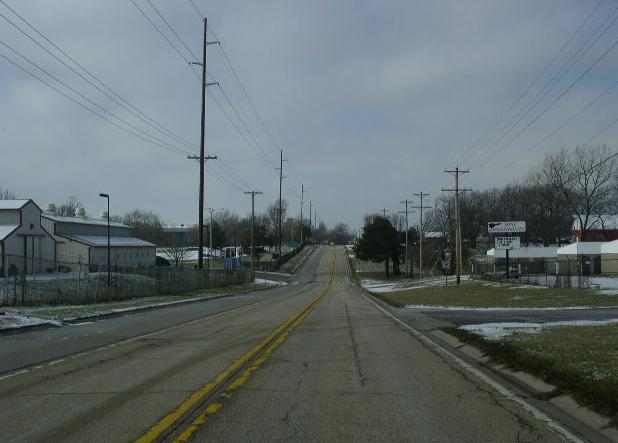
SB Rt. 66 near the IL St Fairgrounds Gate 7.
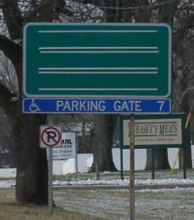
A changeable BGS on SB Rt. 66 at the IL St Fairgrounds.
This is near the northern end of the 1926-1930 alignment of Rt. 66.