

|
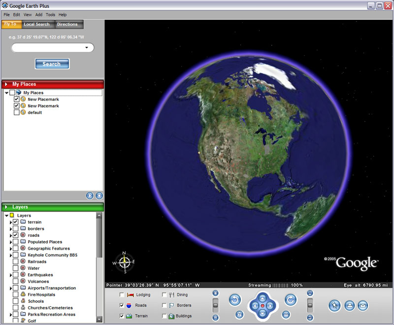
Google Earth is a free-of-charge, downloadable virtual globe program. It maps the entire earth by pasting images obtained from satellite imagery, aerial photography and Geographic Information System (GIS) over a 3D globe. Google Earth is available in a free version, and in licensed versions for commercial use. It is currently officially available on Windows XP, Mac OS X and Linux.
Formerly known as Earth Viewer,
Google Earth was developed by Keyhole,
Inc., a company Google acquired in 2004.
The product was renamed Google Earth in
2005 and is currently available for use
on personal computers. Many large cities
are available in a resolution high
enough to see individual buildings,
houses, and even cars. In cities such as
London, Washington DC, and Seattle,
individual people can be clearly
discerned. The degree of resolution
available is based somewhat on the
points of interest, but all land is
covered in at least 15 meters of
resolution. Google Earth allows
users to search for addresses (for the
USA, Canada, and Europe only), enter
coordinates, or simply use the mouse to
browse to a location.
(Cited From Wikipedia)
The idea is simple. It's a globe that
sits inside your PC. You point and zoom
to anyplace on the planet that you want
to explore. Satellite images and local
facts zoom into view. Tap into Google
search to show local points of interest
and facts. Zoom to a specific address to
check out an apartment or hotel. View
driving directions and even fly along
your route. We invite you to try it now.
|
|
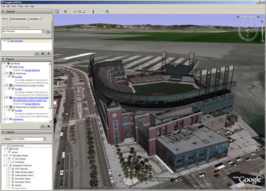 Zoomed-In View of US Ballpark
![]()