Site hosted by Angelfire.com: Build your free website today!
Weather Satellite Images
Some details about the hobby of receiving weather satellite data.
NOAA has been providing weather data from orbiting satellites for many years, and the data that I receive is mainly from the low earth orbiting satellites in the form of cloud pictures. I also receive data  from geostationary satellites and this can also be acquired as visible, infrared, and retransmitted data from the low earth orbiting satellites. These data are also available from Russian, Chinese, and Japanese satellites positioned about the Clarke belt.
 

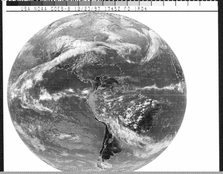
Black and white picture of the full earth disk, received on my 1691 MHz. Downconverter and 3 foot dish. This is from a Geostationary satellite called GOES-8

Here's a picture taken from a Polar Orbiting Satellite, NOAA14 on a low frequency of 135 MHz. Antenna for reception was my homebuilt Quadrifilar Helix antenna. A good no-fade picture of the eastern U.S. from Florida to the Great Lakes. Nice detail in the finger lakes of New York, Cape Cod, Long Island, and Chesapeake bay.


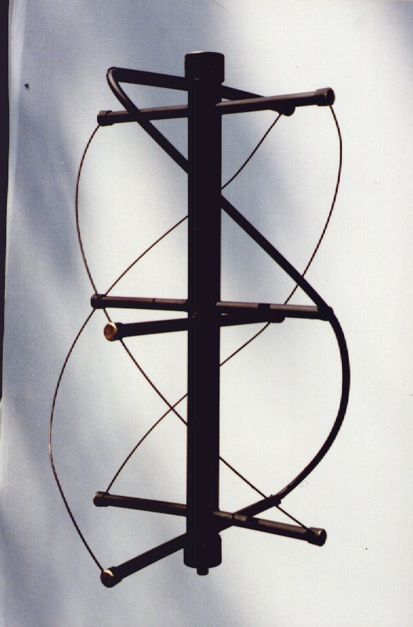
A picture of my homebuilt Quadrifilar Helix antenna. Subject of a magazine article in QST magazine August 1996

go to home