Wally Trail Route
Trailheads and Picnic Areas
- Loudonville, Ohio
- Spellacy, Ohio
- Greer, Ohio
- Brinkhaven, Ohio
The trail would begin in Loudonville, Ohio. Its starting point would be just north of Mohican Bowling Lanes, where a parking lot and trailhead would be built at the current Conrail access area, or south of the bowling alley, via an underpass below OH 39, where it would connect to the Ashland County South Bike Path Loudonville trail head. It would travel for approximelty 3/4 of a mile to West Main Street, paralleling the remaining length of abandoned tracks, and also include a nature boardwalk, and an access to Loudonville High School. After passing the Loudonville Equity and crossing W. Main St. (OH 39), it would parallel Wally Road for about 1/2 mile, passing the "Wally Ballparks", site of a planned path, "The Walk Of Thanks", a walking only path built from bricks inscribed with donors' names which would connect the trail to Riverside Park utilizing a covered bridge ,"The James P. Loudon Memorial Bridge", and a rebuilt train station/museum, until reaching the first planned bridge, "The Wally Flyer Memorial Bridge", which would take the trail over South Market Street (Ohio 3). It would then travel on Old Wally Road for another half-mile until reaching the site of the first original span, Bridge #31. After crossing, it will then run parrallel to Wally Road 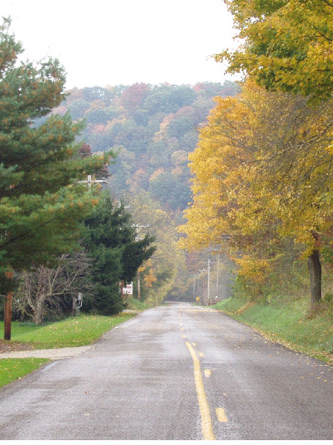 or on the former right-of-way (where possible)
 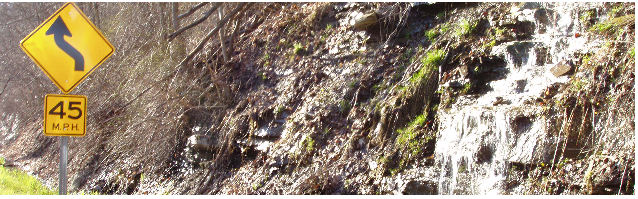 into Greer,
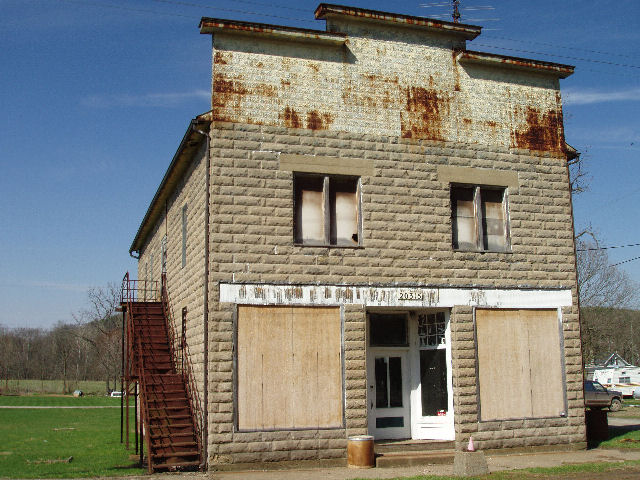 crossing the river
  six
six 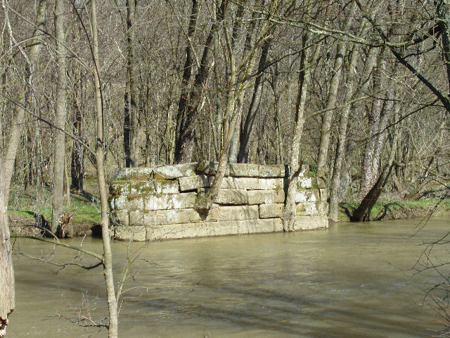 times, one time crossing the river via a vehicle bridge rebuilt upon the original abutments and piers
 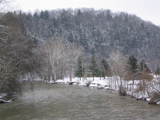 of the original span, the Spellacy Bridge #30
 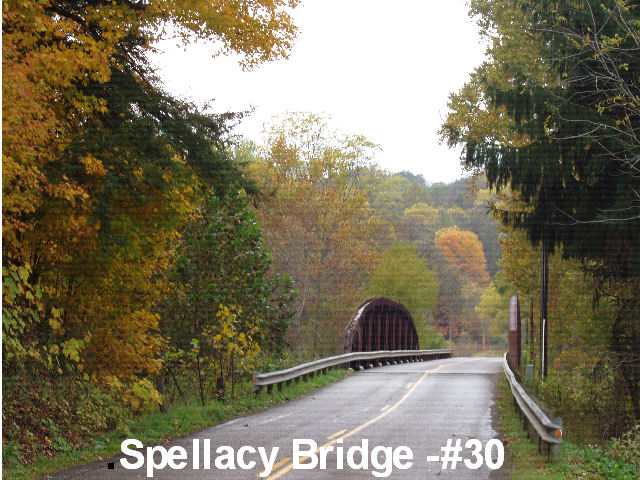 , and passing the former stops/sidings of Uncas, Spellacy, and
  Strangs. It would then pass through the town of Greer, Ohio. In Greer, as in the other two towns, plans include the building of a combination picnic area and station. South of Greer it passes through the
 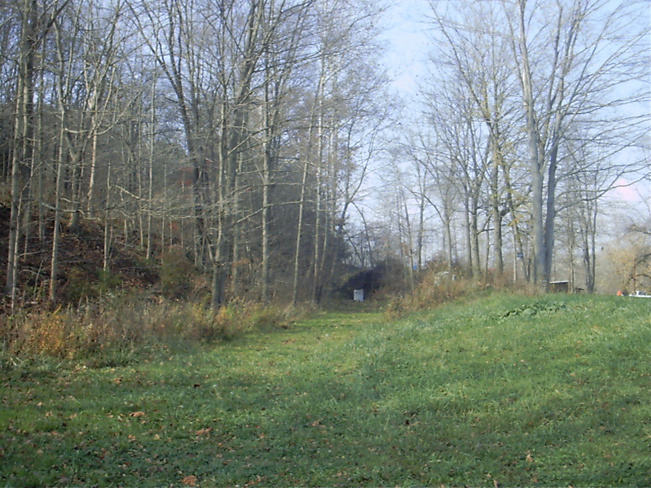 Greer Rock Cut. From here it continues onto
 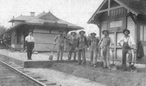 Brinkhaven, only crossing the river one more time. It ends in
 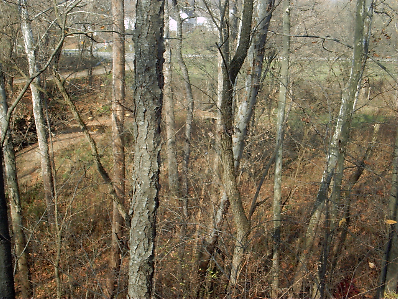 Brinkhaven, Ohio.
This is where it will juncture with the Holmes County Trail via State Street, and the Mohican Valley Trail via it's parking lot access. At the trails "Y" will be built the "Brink Haven Station". Both trails are part of the planned Ohio To Erie Trail.
Return to  Main Page
Points on Interest (an (*) indicates accessible from trail)
Amish Country
Central and Riverside Parks* (part of my plan is a connector path from Wally Road to Riverside Park)
Cleo Redd Fisher Museum*
Malabar Farm
Mohican State Park
The Ohio Theatre
Pleasant Hill Lake
Wally Road Ohio Scenic Byway
TravelOHIO.com
Mohican Country. Org

