
Neighborhood History
.
1830
Culver Road is laid out.
1852
Park Avenue is laid out.
Park Avenue began in the late
1860's as three separate streets, which explains its erratic course.
Park Avenue ran from Alexander to Goodman. Crescent Street, part of
the original driving park, ran between Vick Park A and B. Bates Street,
named for an early East Avenue resident, ran from Barrington toward
Culver Road. By 1875 the three were joined and shortly thereafter the
street was renamed Park Avenue.
1865
James Vick purchased the Union
Park property from Joseph Hall in 1866. Along with the track the purchase
included Hall's nurseries. Vick was very sucessfull with his seed farm,
but eventually he broke the property into small parcels and sold it
for housing. Vick Park A and B were the north-south legs of the track,
and the curved section of Park Avenue that connects them (originally
Crescent Street) is the southern end of the old race track.
1870
Harvard Street, although named
for a developer's brother-in-law not the college, started the adoption
of college names for streets in the area. Harvard Street began at Meigs
Street in the early 1870's and was gradually extended eastward to Culver
Road by 1900.
1874
City annexes the land east
to Culver Road.
1883
Horsecar lines expanded down
Park Avenue.
1905
Village of Brighton is annexed
in 1905 to become part of the City of Rochester. Twenty-first (21st)
Ward formed; population 1147; 1910 population 1582.
1906
The Oliver Culver house is moved from the corner of Culver and East Avenue to East Boulevard by Howard Smith.
Eldredge house is moved to
Park Avenue as a private school for girls, and the empty lot across
from the Chapin House is rebuilt as a the Willow Pond.
1910
Harvard Street developed from
Culver Road as far as 873/902 Harvard Street.
1911/1912
Harvard Street developed from
873/902 Harvard Street to 992/1023 Harvard Street.
1913/1914
Harvard Street developed from
992/1023 Harvard Street to 1054/1035 Harvard Street.
1915/1916
Harvard Street developed from
1054/1035 Harvard Street to 1063/1092 Harvard Street.
1920's
Noise and congestion of auto
traffic destroy the genteel ambiance of East Avenue. Wealthy residents
leave for quieter suburbs to the south and east.
1921
Erie Canal abandoned and later
drained in 1926.
1927
Rochester Subway System is
completed 12/1/27.
1943
East Avenue Association forms
to fight the downslide of the area. Zoning changed from D-1 Residential
to F-Residential, and a section 260 feet deep on each side of the Avenue
from Alexander to Oxford and wider strip from there to Colby became
F-Residential. This area was to have single family residences only.
Public institutions and churches were allowed. The city offered to take
the unwanted properties and convert them into parks
1945
Zoning variances allow restraints,
and rooming houses. Additional cars overwhelm limited spaces available.
1949
State agrees to the construction of an expressway from the new State Thruway into the city along the old subway and canal bed. City planners now drop the idea of East Avenue's conversion into a parkway.
New zoning opens East Avenue
to multiple dwellings. They are only restricted in an area one half
mile east and west of Culver Road.
1957
The revised zoning code supports the conversion of large single-family homes to multi-family dwellings.
Rochester Subway System is
abandoned.
1960's
Several Neighborhood Associations form in the area, to preserve and upgrade the area.
Most residents are new to the
area.
1969
The East Avenue Preservation
District, which includes East Avenue, its side streets, and Park Avenue
is established.
1974
Housing Court created to speed
enforcement of code violations by landlords.
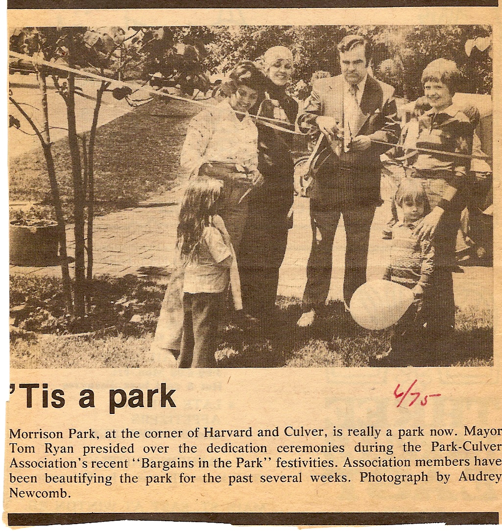
1975
A new zoning code linked zoning to present use.
The area is rediscovered as a popular neighborhood, and there is an increased demand for houses and apartments.
Neighborhood newspaper, City
East, published.
1985—The city notified area residents that, due to Can of Worms re-construction and sound barrier project, that they would be losing land and/or property. Prior to these in-person visits by City reps, all communication related to re-construction indicated it would only affect properties east of Winton Road. These meetings, and many individual meetings with both the state and city resulted in many homeowners losing less property than originally announced, and saving one garage (of two).
1986—CHAP-21 official name. Nine officers named. Zelda
Artson-Crichlow and Bea Slizewski co-chairs.
1987—zoning group formed to focus on zoning issues.
1988—interest and participation begins to wane. Biggest
issue begins to be problems during Can of Worms construction while Harvard
was used as unofficial detour.
Issues of concern continue to revolve around parking problems and loud
parties.
2000—Natalie Frame and Mark Ritter named co-chairs
2005—CHAP21 membership
grows to over 100 households and effectively works with various members
of other neighborhood associations and local government to amend City
Noise Ordinance.
