
How to run the CMRR:
One teammate runs while the rest of the team travels by vehicle, providing support using the race maps and detailed directions provided. Relay order does not have to be declared in advance, and runners can run more than two legs if they wish. To assign relay legs strategically to match the strengths of their team members, teams consider the different characteristics of the various relay legs: up vs. downhill, mid-day vs. cooler, short vs. longer legs.

Elevation Profile

Total elevation change: 7,456 feet
Miles: 62.2
Uphill: 3,628 feet
Downhill: 3,828 feet
Net elevation change: -200 feet

Start time 6:30 AM. This means Ted Pernicano (left) and Gary Struve were up at 3:00 AM to reach Phoenicia

The Wild Bunch: From left, Ted, Gary, Bogdan, Bronek and Ernest

Bronek (right) getting ready for the first leg of the relay, with Ted giving him final advice
Leg # 1 (6.5 mi) starts on High Street (Woodland Valley Road) at the Woodland Valley Bridge 0.9 miles west of Bridge Street in Phoenicia. Start by going west and then south 2.84 mi to an orange cone and white line to the turn around point for this leg. After reaching turnaround point, head back 2.84 mi toward the starting line, continue past the starting line another 0.81 miles until exchange at 6.5 mi at electric substation just before the Rt 28 overpass.

1st exchange - Bronek to Ted, while Judy from Westchester club looking on.....
Bronek's time: 00:43:50 (6:45 pace)
Leg # 2 (6.7 mi), follow your Phoenicia detail map carefully and direct your runner by leading them through the four turns. I strongly recommend you scout this section ahead of time so you know the route. The route goes under the Rt 28 overpass, left onto Bridge St (over Esopus Creek), left onto Main St, past Phoenicia's stores, over a bridge, then immediately goes left onto Jay St. Jay St becomes South St as it makes a right-hand "L" turn, then comes uphill to Route 28. Go left at this "T". After this, there are only four more turns in the remaining 55 miles of the race.
Ted's Time: 00:46:48 (6:59 pace)

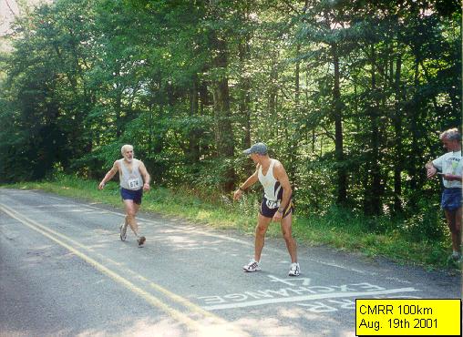
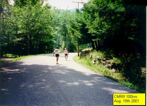
2nd Exchange (3rd leg) - Ted to Ernie

Ernie running Leg# 3
Ernest's Time: 00:51:52 (7:59 pace)
Leg # 3 (6.5 mi) starts across from a large blue NYS "Parking" area sign. Please park in the appropriate area. For safety's sake, those on foot should stay out of the roadway of Rt 28. This is a 55 MPH road. Follow Rt 28 to Big Indian, turn left onto Ulster Co Route 47 at Morra's Market. Go south about 4.4 mi to the exchange in the shade at Maben Hollow Rd, just over a small bridge. Please respect (stay off) private property here. Landowner has been sensitive in the past. The race route will soon be passing state land.
Gary Running leg #4.
This leg turned out to be the deciding one for us and put us ahead of Westchester track club for good. At the start of this leg, our lead was 20 yards. By the time Gary finished this ALL uphill leg, our lead was more than 5 minutes!
Leg # 4 (5.9 mi) goes up a series of five hills: last one is Winisook Hill (11%, 1.2 miles.) Pass Slide Mtn Trailhead Parking Area (4.95 mi), "Denning" sign (5.67 mi.) Exchange is 0.23 mi past at a road curve sign.

Now you can see how Gary put on the clinic on Hill running!
4th exchange (5th leg) - Gary to Bogdan
Gary's Time: 00:50:48 (8:37 pace)
Leg # 5 (6.8 mi) passes Frost Valley YMCA Camp, some pines, pasture, #2554 on a mailbox, then exchange is at an old bridge over a small brook.

5th exchange (6th leg) - Bogdan to Ted
Bogdan's Time: 00:48:30 (708 pace)
Ted's Time: 00:48:44 (7:04 pace)
Leg # 6 (6.9 mi) is relatively flat along the Neversink River, crosses over it, then comes to a "T" with Sullivan County Rt 19 about 3.8 miles into the leg. Go right. Continue past Hunter Rd, go uphill (3%, 1.2 miles.)
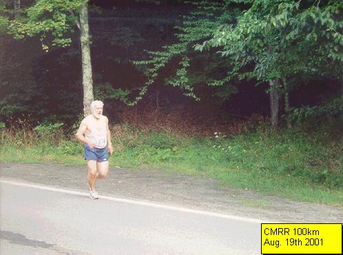
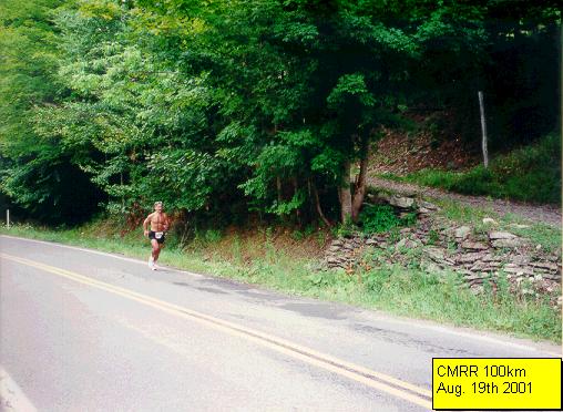
Ernest running the 7th leg
Ernest's Time: 00:47:26 (7:32 pace)
Leg # 7 (6.3 mi) ascends hill 0.1 mi, plunges down Wildman Hill (8%, 1.4 mi) to the "T" intersection with State Route 55 in Curry. Have runner carefully make left turn, run on left side of road. Watch for turning vehicles along Rt 55 from here through Grahamsville. Pass last gas station and stores of the CMRR. Ignore Rt 42. CMRR curves gently uphill and to the left, passes Tri-Valley Central School, goes downhill, then left onto Route 55A. Follow Route 55A until exchange line past power plant at 6.3 mi. Leg 7 tends to be the warmest of the day because much of it is out in the open.
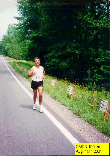
Bronek running 8th Leg
Bronek's Time: 00:47:37 (7:20 pace)
Leg # 8 (6.5 mi) One-tenth of a mile past power plant, continue straight on Sullivan Co Route 153. It becomes Ulster County Rt 46. As of late July 2001, there is a one-lane bridge with a stop light on this relay leg. Cars may pull over after the bridge to insure their runner goes through safely in the event that traffic is coming from the opposite direction. In Sundown (~3.5 mi), pass white church at a three-way intersection. Stay to the left as road becomes Ulster Co Route 42 (Peekamoose Road). This road demands an experienced driver's attention. The exchange is at 6.5 mi. The Peekamoose Trailhead Parking Area is at 6.6 miles.


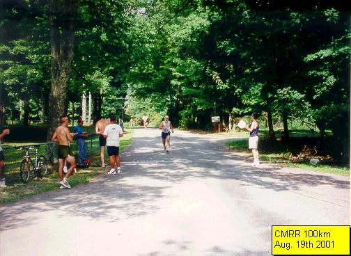
9th exchange - Bogdan finishing his 9th leg and gary is on his way to 10th and final leg
Bogdan's Time: 00:41:08 (8:14 pace)
Leg # 9 (5.0 mi). Peekamoose Road has narrow shoulders with no guardrails, precipitous drops to the creek, occasional fallen rocks in the road, beautiful waterfalls cascading down cliffs (most are on the left, visible beyond the trees), and the imposing slopes of primordial Peekamoose Notch. The black back of a sign up high on a telephone pole on the left at the exchange line says on its other side: "Warning - Private Land Both Sides." Park past it (state land.)
Ted passing water to Gary
Leg #10 (5.1 mi) descends 1,050 feet in elevation at grades up to 13%. Shift your car into low gear to reduce your speed and save your brakes down Peekamoose Hill (13%, 0.9 mi.) At 4.9 mi, pass the Olive Town Hall. Please direct your runner through the right turn onto Lang Rd around 5.0 mi and to the finish of the 100Km CMRR less than 0.1 mile in. The roadway of Lang Rd, the entrance for Davis Park in West Shokan, needs to be kept clear of cars. Please hand in your completed split time sheet to a CMRR race official at the finish line within ten minutes of your team finishing the CMRR so that split times can be recorded and results printed. Thank you! Congratulations for finishing the 100Km CMRR!
....And Gary is approaching the finishline!!

...... A Close-up
Gary's Time: 00:35:21 (6:56 pace)
Team's Grand Total Time: 7 hrs. 42 min. 32 sec.
Average Race Pace: 7 min. 26 sec.
2nd Place: Masters Division

Final Check before submitting results

Post-race festivities at a local restaurant.
Catskill Mountain Road Relay Home Page
