JANUARY 21,2001
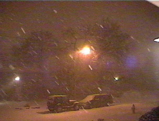
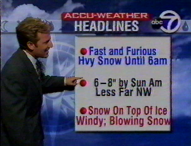
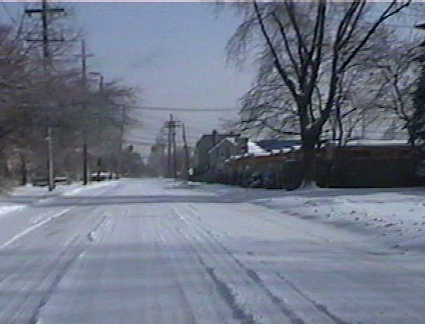
Winter 2000-01 continued with another weekend storm. The setup on Thursday, January 18th was a cold High Pressure in eastern Canada, a strong High Pressure just south of Bermuda. A trough was located north/south along the East Coast. A series of low pressures formed on the trough and moved northward, since the High near Bermuda blocked them from heading out to sea. The first, on Thursday, was a weak storm, which dropped only 1/4" of snow during the afternoon. During the evening there was light rain. A stronger storm brought just over an inch of rain Friday into Friday night. By now there was a third storm moving north/northeast through Georgia. In addition, a strong Upper Level Low was coming across the country. The forecast called for light rain early on Saturday, then as the cold air from the High in Canada eased southward, the rain would mix with sleet/freezing rain, and change to all snow by the afternoon. An inch was expected by dark. The Upper Level Low woud energize the coastal storm early Saturday evening. Causing a heavy burst of snow overnight. Forecast called for 6-12" of snow. However, things didn't go according to schedule. There was off and on mist Saturday morning with very slowly dropping temps that started out at 37.8 degrees. At 2:30 PM there was a quick shot of sleet. At 5:30 PM, very light rain started to fall, however, the temp by now was 33.8 degrees, and some of the rain started to freeze.
 |
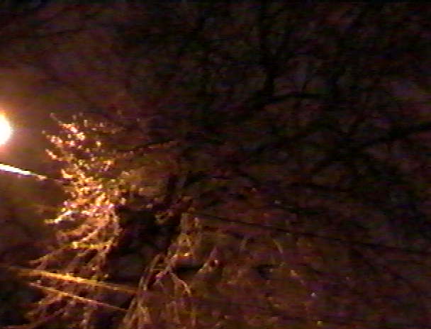
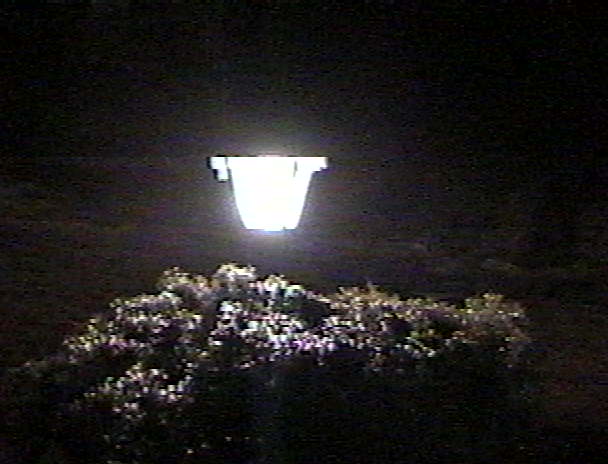
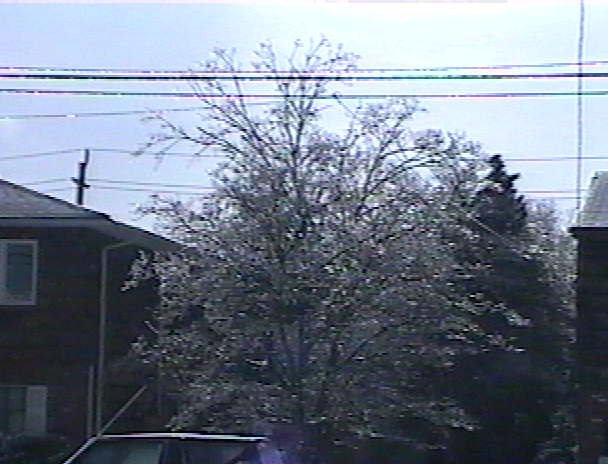
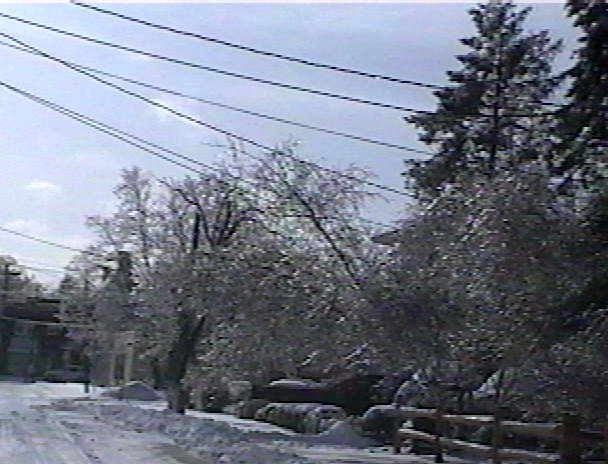
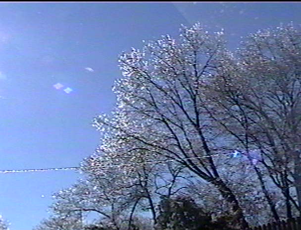
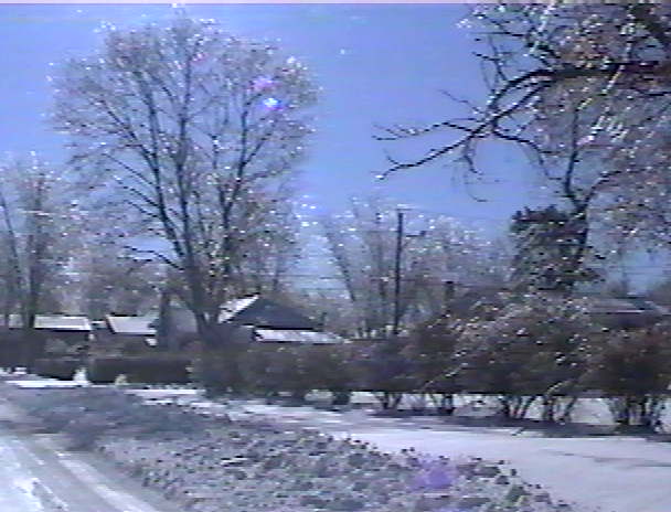
The freezing rain continued to lightly fall all evening.Ice formed on trees.
 |  |
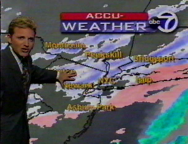
As the Upper Level Low approached the coast, heavy snow was expected to start around 1 PM and last until just after daybreak. 5-7" of snow was expected for Long Island.
 |
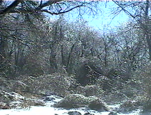
Light snow started falling around 2 AM, with the steady and heavier snow falling from 3-7 AM.
|
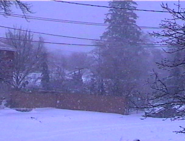
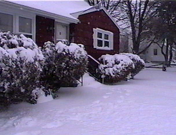
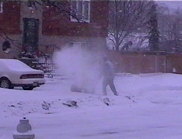
The snow ended just after 10 AM.
|
The freezing rain before the snow made for some nice scenes.
 |  |  |
 |  | 
|
NASSAU COUNTY...
SUFFOLK COUNTY...
|
So why didn't Long Island get up to a foot of snow, as first thought? The Coastal Storm didn't develop as soon as expected because the Upper Level Low was a little slower getting near it. Therefore, Saturday evening had light precip, with just enough cold air to cause the freezing rain. With early warning, the storm coming on a weekend and at night, there were no major problems from this storm. However, due to the freezing rain, there were several traffic accidents, luckily not serious. As snowstorms go, this was just a run of the mill one, but interesting anyway.