FEBRUARY 5,2001
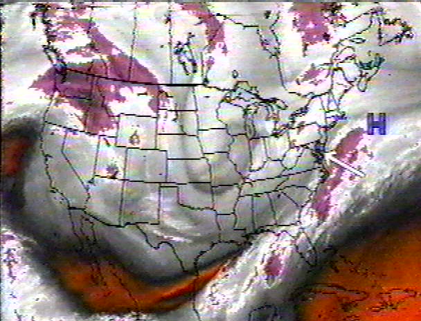
The temperature had reached 51 degrees on Wednesday, Jan 31st.A cold front arrived later on Friday keeping Saturday's temps in the low 30's. This High Pressure with the cold air was expected to move east of New England late on Sunday, and combined with an Upper Level Low moving in from the midwest and a coastal storm to develop off of North Carolina, it looked like Monday, 2/5 would be a rainy day, although it might start out as snow. Away from the coast, 4-8" was expected.
 |
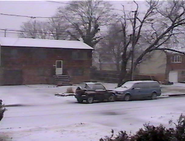
By Sunday afternoon, Feb 4th, the computers were saying that the coastal storm would be somewhat stronger than expected. Therefore, as it went past Long Island, it would bring in some colder air, and the rain would change to snow late in the day and end by midnight with a 3" accumulation. Monday, Feb 5th - Light rain started at 9 AM, temperature 40.3. By 10:30, it became steady at a moderate rate, temperature 38.7. Just after 11, large snowflakes started to mix in, and by 12:15 PM, it was all snow, temperature 36.1. By 1:15, there was a 1/2" of snow and slush on the ground and roads, temperature 33.9.
 |
The storm was growing stronger faster than expected. The rain/snow line was advancing south and east.
Radar 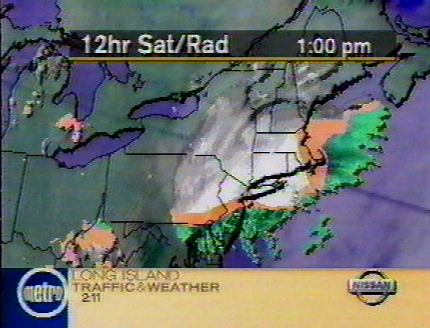 Forecast 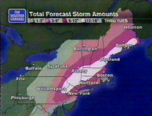 |
It changed back to rain at 1:15 and the wind picked up from the NE at 12-18 mph, gusting to 30.
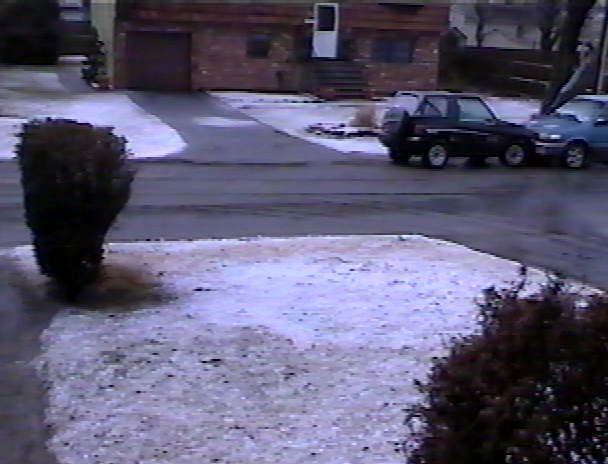
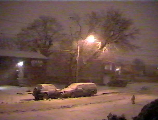
At 4 PM with a temperature of 33.9, it changed back to snow as the storm was approaching the eastend of Long Island and the winds became North. By 4:30, the ground was covered with snow, temperature 33.6.
 |
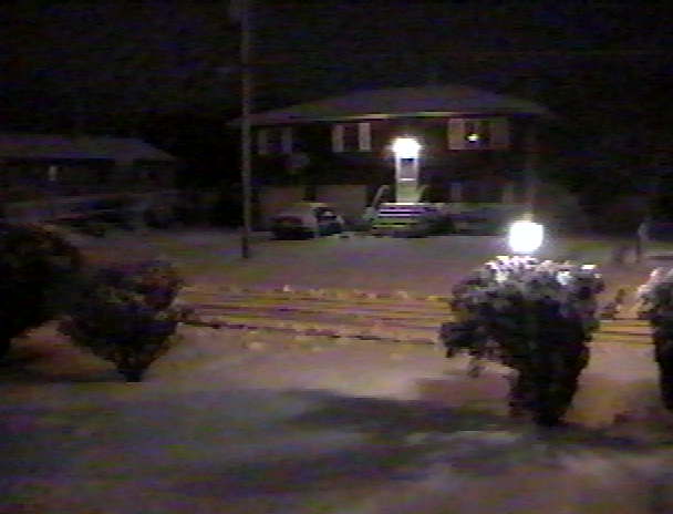
The snow continued until 10 PM.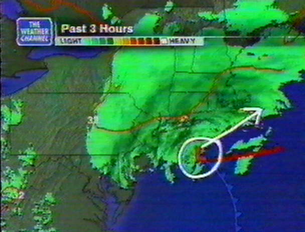
|
ORANGE COUNTY...
| |
|
NORTHEAST NEW JERSEY... PASSAIC COUNTY...
|
| HOME |