- Aquatic Trail ( 9 Miles) - ( Allow 2 hours roundtrip ) Located between Grand Glaize Beach and Public Beach Number One,
it helps discribes the lakes natural features.
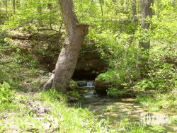
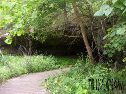
- Coakley Hollow Trail ( 1 Mile ) - The trail begins and ends at Ozark Caverns. Featured along the trail is a natural glade
and a dam and mill site. The trail, identified only with yellow markers, is open only to hikers.
- Fawn's Ridge Trail ( 2 1/2 Miles ) - Only open to hikers, the trail has two entry/exit points. One lies at the riding stables near the
picnic area across from the highway and the other close to the campground registration booth down Lake View Bend Trail.
- Grand Glaize Trail ( 2 1/2 Miles ) - The trail begins and ends just north of the service area between Ozark Caverns and Mc Cubbin Point.
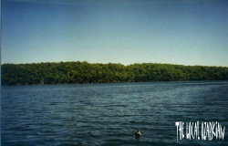
- Lake View Bend Trail ( 1 Mile ) - The trail begins and ends in Campground Four and follows along the base of steep cliffs along the lake.
This trail is the best in the park for viewing spring wildflowers in April, May and June.
- Lazy Hollow Trail ( 1/2 Mile ) - It goes along a typical Ozark Hollow and is located across from the highway from the trail center.
- Rocky Top Trail ( 3 Miles ) - Overlooking the lake from the top of a bluff, it offers great photo oppertunities. The trail also has a natural
glade and contrasts in plants.
- Shady Ridge Trail ( 1/2 Mile ) - You will be able to climb a small glade and go along the lake shore.
- Squaw's Revenge Trail ( 2 Miles ) - You get a photo oppertunity on top of a bluff overlooking Grand Glaize.
- Trail of Four Winds Trail ( 6 Miles ) - This trail is open to hikers, equestrians and all terrain bicycle users.
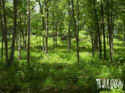
- Woodland Trail ( 6 Miles ) - This area provides a diversity of habitats ranging from old fields to dense oak-hickory forests, dry streambeds to spring-fed seeps, and nearly barren ridge-tops to lush ravines.
This trail is intended for hiking and backpacking use only. All backpackers should register at the park office or trail head before using the trail.
I have last visited this park in April of 2007...
Or you can catch me on MSN Messenger.
Important Notice
All photographs used on this site, The Local Ozarkian, are the property of Jonathan Sharp.
You may use, or copy these pictures if only you say you have gotten them from The Local Ozarkian.
Do not distribute, sell, or publish my photos without prior written permission.


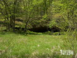
 Ozark Caverns