Known as the "Eye Of The Sacred One", Indians from the surrounding area have
come to the spring for thousands of years.
In the 19th century, grist and flour mills were built at the spring but none were as successfull as the mill owned
by Peter Bennett. Bennett was known for his generous donations of hundreds of bushels of grain and flour to the
needy families during the Civil War. Following the war, the spring valley was transformed into a popular camping
ground for area farmers who waited their turn at the mill. Fire destroyed the last mill in 1944.
In 1924, the state acquired Bennett Spring and the surrounding land to become one of Missouri's first state parks. In 1933,
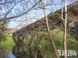
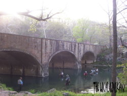
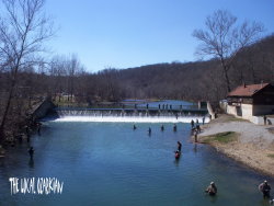
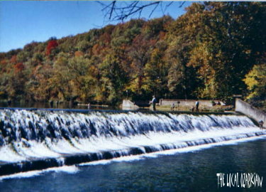
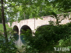
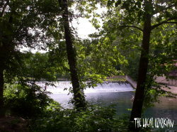
the Civilian Conservation Corps and the Works Projects Administration built barracks for themsleves, then built a new dam, a bridge,
a dining lodge, six cabins, a store, post-office building, shelters, houses, roads, and trails. They also renovated Atchley Mill as well
as built a second set of gravel bottomed hatchery rearing pools. In 1935, they built a new section onto the hatchery building. In 1969, the
Nature Interpretive Center opened at the park with George Kastler as the first naturalist.
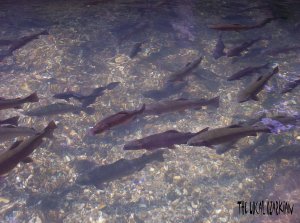
Today, trout fishing is flourishing. The trout are fed and cared for at the hatchery in the park until they are large
enough to be released. In addition to fishing, there is more than three-thousand acres for camping, swimming, hiking,
and nature.
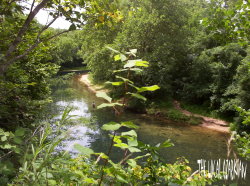
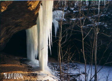
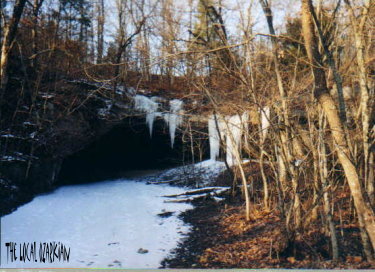
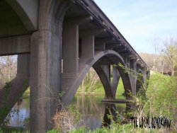
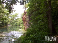
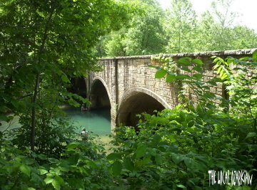
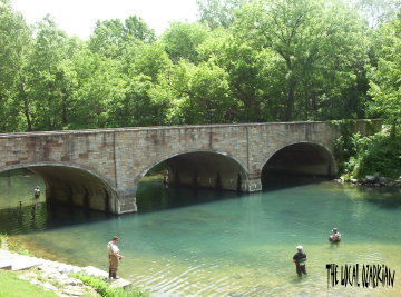 Misc. Pictures
- Misc. pictures taken in and around Bennett Springs.
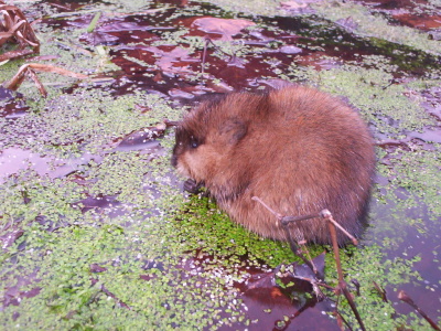 Wildlife - Muskrat
- Various pictures of a muskrat digging for food near the spring.
 Wildlife - Catfish
- Catfish protecting its young.
Facts
- More than one hundred million gallons of water flows daily from Bennett Spring and continues for one and a half miles
before emptying into the Niangua River.
- The Ozark ridges surrounding Bennett Springs are covered with native oak/hickory forests.