


GOES Weather Satellite Image Loops
USA East weather satellite loop of con/chemtrails over North Dakota and Canadian border-Sept.20/99
USA West weather satellite loop of con/chemtrails over North Dakota and Canadian border-Sept.20/99
This occurred the same time that Hurricane Bret was in the Atlantic Ocean and Hurricane Harvey was developing in the Gulf of Mexico. During the spraying a large weather front developed and extended down and along the US southeast and east coast
keeping the storms just off the coast. A controlled weather pattern??
More Satellite Images -North America
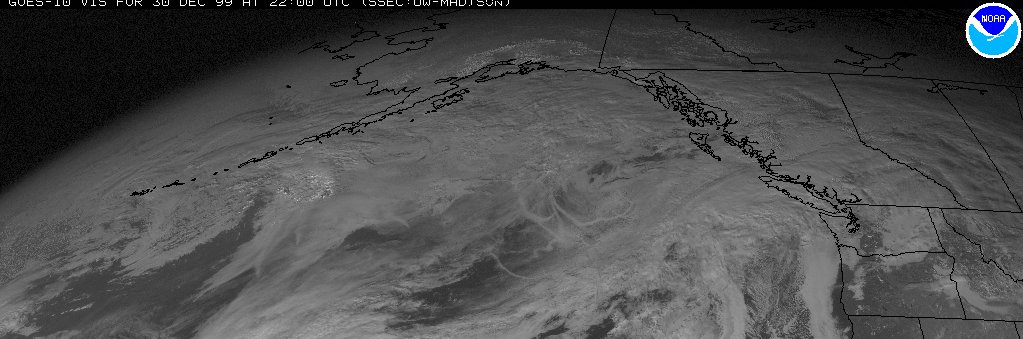
Here is a GOES10 satellite image from Dec.30/99 of chem/con trails in the Atlantic Ocean off the British Columbia, Canada and Washington, US coast. Erratic circular patterns in the middle of the image.
GOES10 satellite image -Dec30/99
GOES 9 satellite image -Dec30/99
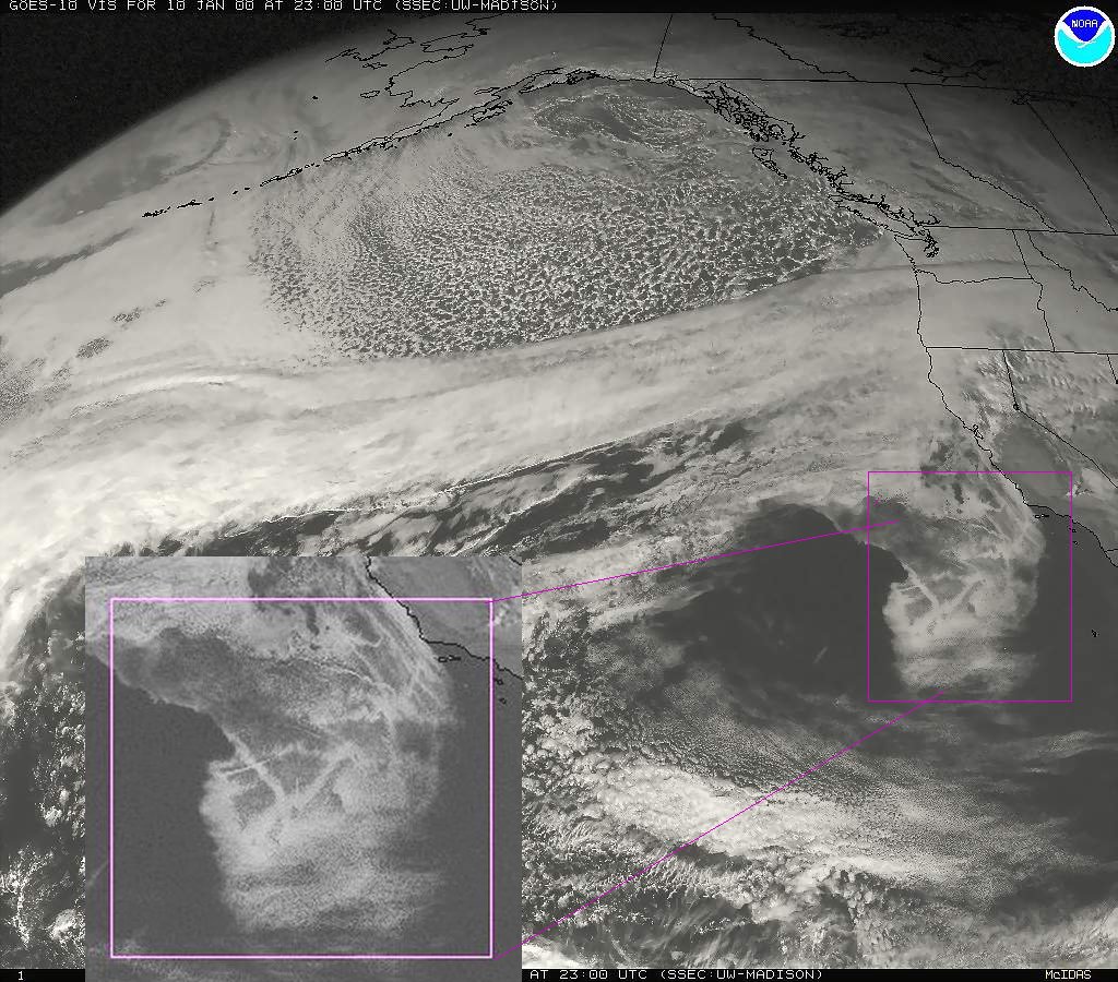
A sprayday off the California/Mexican Pacific coast on Jan10,2000.
GOES10 satellite image -Jan10,2000
El Paso, Texas -Goes 10 Channel 1-Jan26,2000
A GOES10 satellite image loop of a California Coastal Sprayday-11/04/99
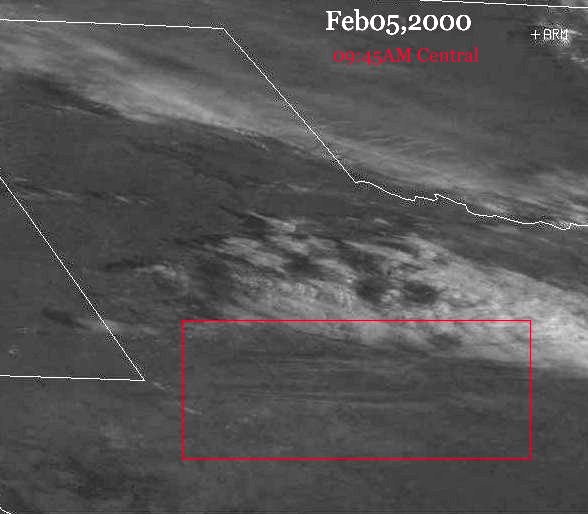
Ballinger,Texas area reports-GOES 10 Channel 1 satellite image-09:45 AM Central-Feb05,2000
Western Tennessee and Missouri-GOES 10 Channel 1 satellite image-11:04 AM Central-Feb06,2000
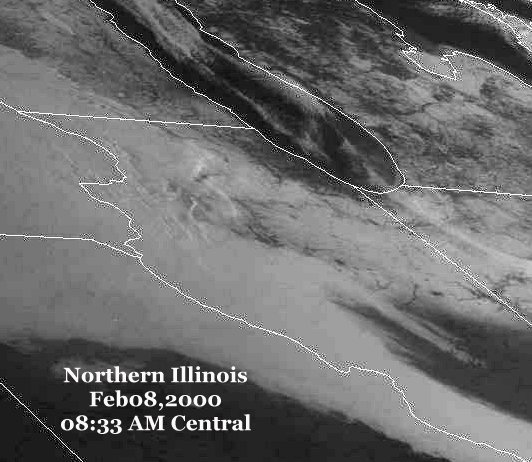
Northern Illinois-GOES 10 Channel 1 satellite image-08:33 AM Central-Feb08,2000
Northern Illinois-GOES 8 satellite image-0913 AM Central-Feb08,2000
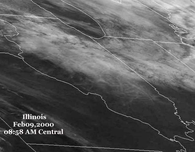
Central Illinois and south-02/09/00-08:58amc-2nd day in a row of trails
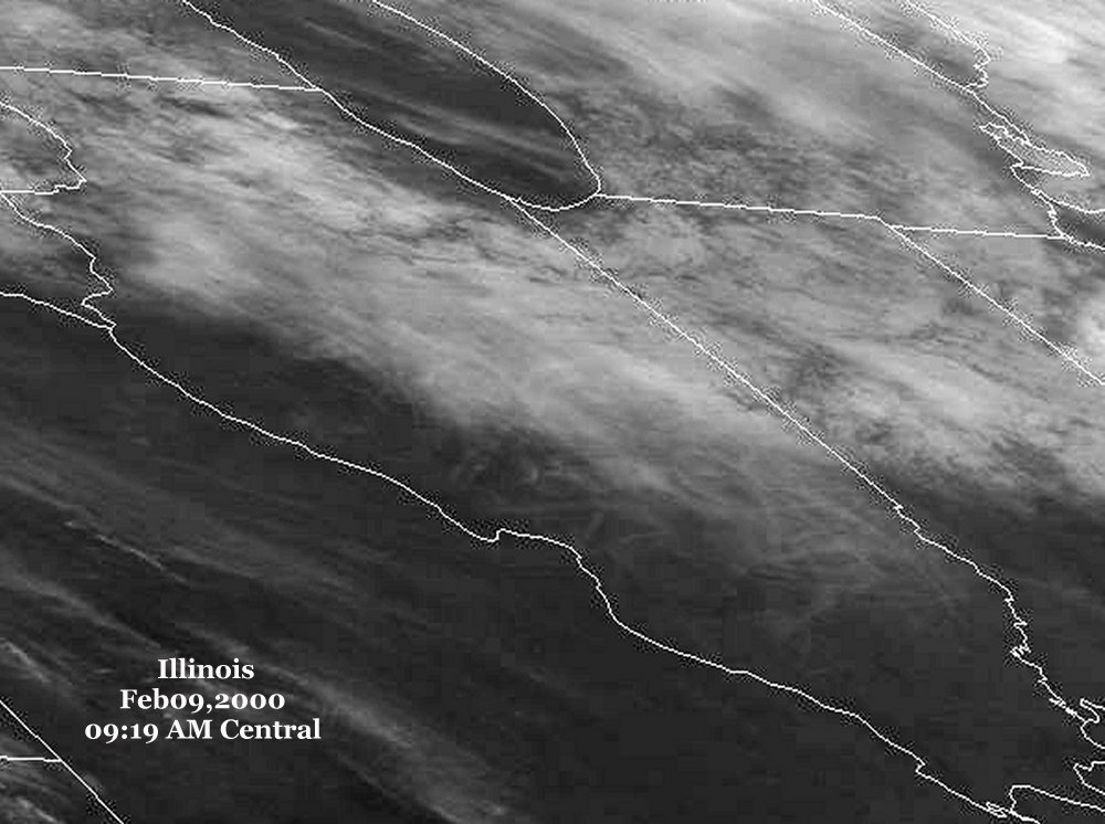
Central Illinois-enlarged sat image-notice circular trail-02/09/00-09:19amc
Texas-Skytrails along the coast and into the Gulf of Mexico-02/09/00-10:30am central
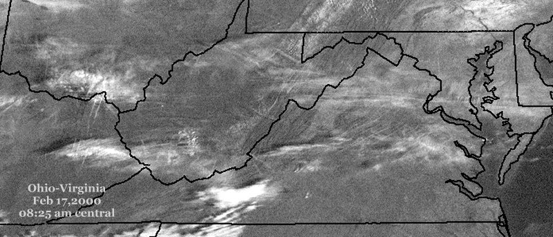
Ohio to Virginia -02/17/00-08:25 am central
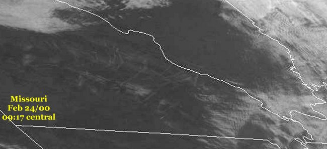
Southern Missouri-1st-02/24/00-09:17 amc
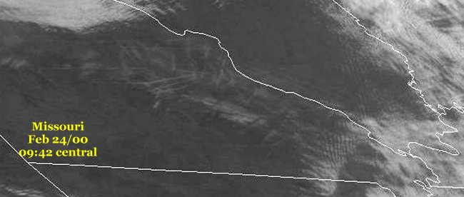
Southern Missouri-2nd-02/24/00-09:42 amc
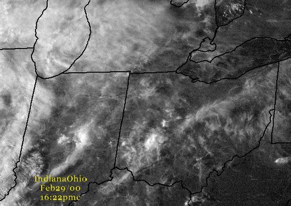
Indiana to Ohio-02/29/00-04:22pmc
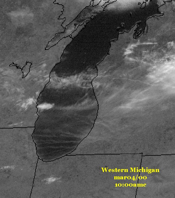
Western Michigan-03/04/00, 10:00amc
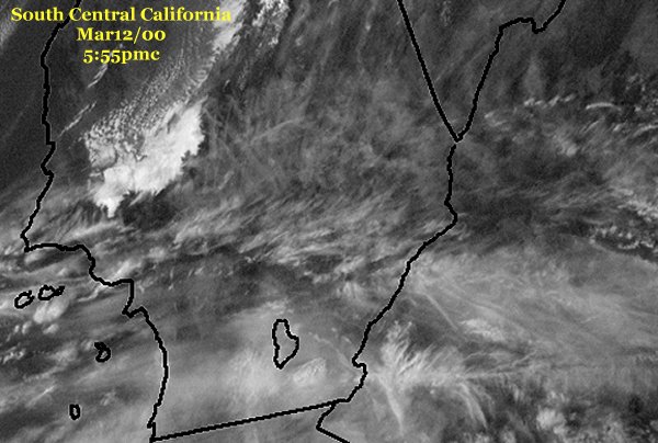
South central California-03/12/00 5:55pmc
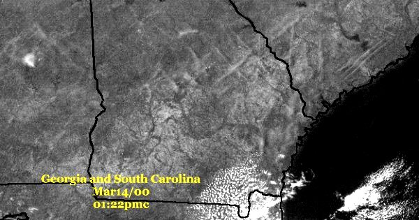
Georgia and South Carolina-03/14/00, 01:22pmc-large Xs across the states
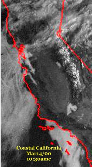
Coastal California-Trails-03/14 10:30amc
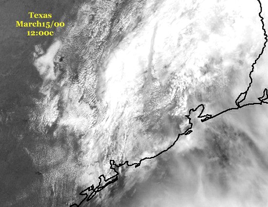
Texas,NE of Houston 03/15/00, 12;00c-Large dark single trail, N/S alignment.
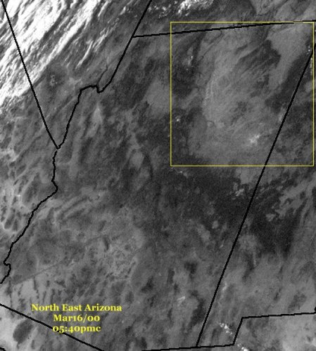
NE Arizona 03/16/00, 05:40pmc Trails
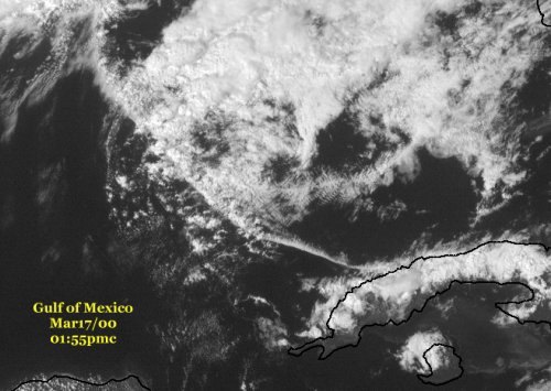
From Cuba NW across the Gulf of Mexico 03/17/00, 01:55pmc Trail
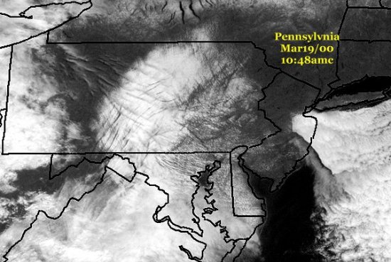
Pennsylvania 03/19/00 10:48amc-Trails over clouds casting shadows over cloud tops
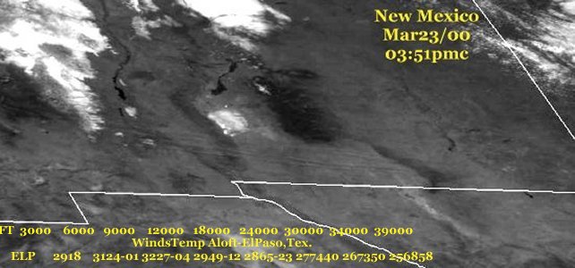
New Mexico, Las Cruces-north of ElPaso, Texas 03/23/00 3:51pmc
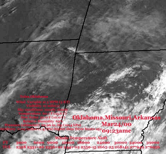
Oklahoma,Arkansas,Missouri 03/24/00 09:23amc-Trails SW to NE
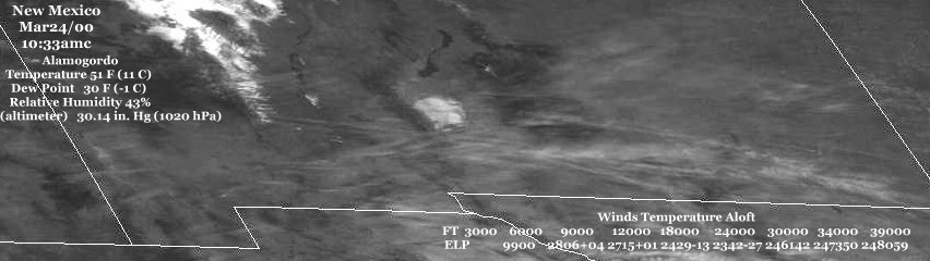
Across southern New Mexico 03/24/00 10:33amc Trails E/W
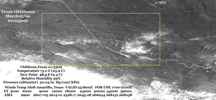
Texas-Oklahoma 03/25/00 02:05pmc Trails E/W
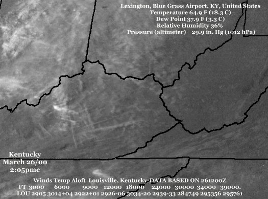
Kentucky 03/26/00 2:05pmc Checker Trails
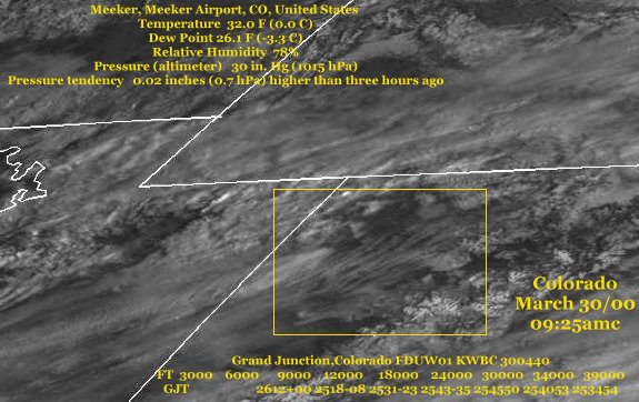
NW Colorado 03/30/00 09:25amc SW to NE Trails
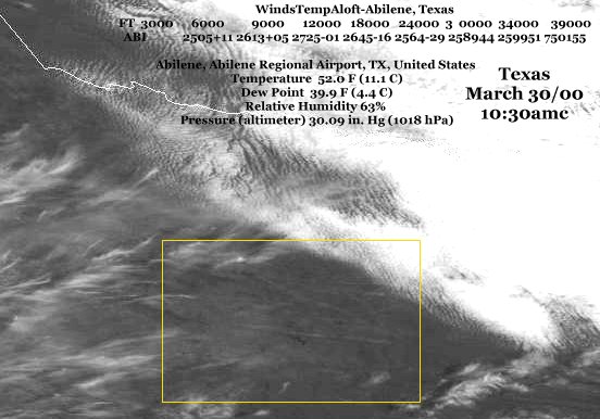
East of Abilene, Texas March 30/00 10:30amc W-E + NW-SE Trails
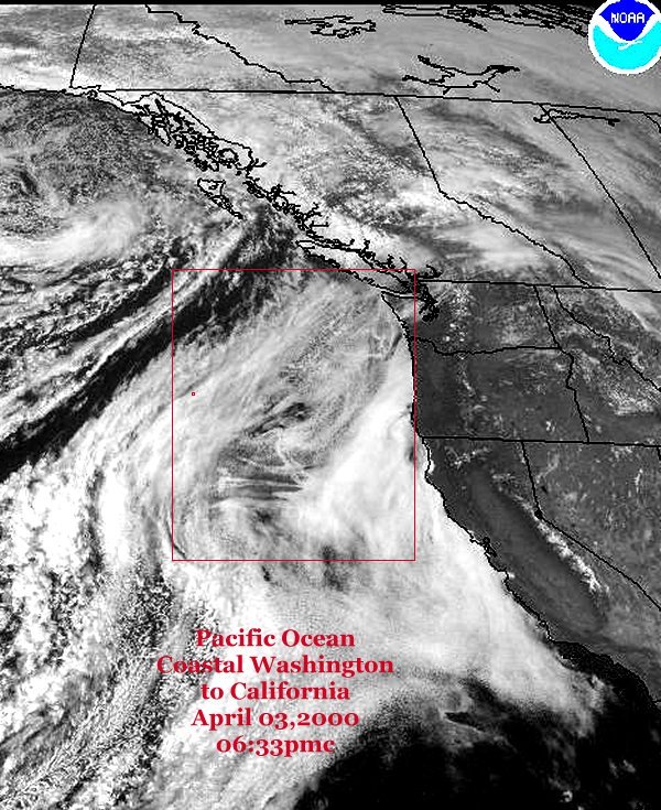
Trails over Pacific Ocean-Washington to California 04/03/00 6:33pmc
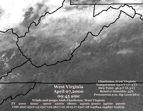
West Virginia Apr.07,2000 09:45 amc
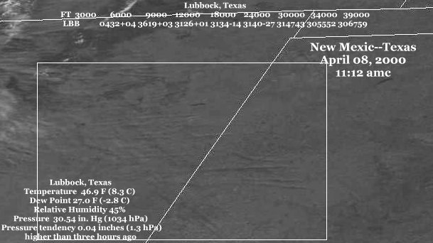
Texas-New Mexico April 08, 2000 11:12 amc Trails drifting east towards Lubbock, Texas
Southern Indiana and Northern Kentucky 04/10/00 09:13 amc-Trails
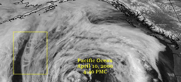
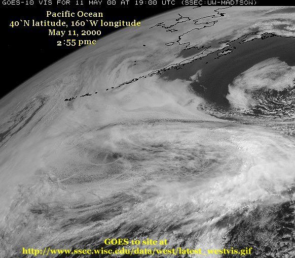
Circles and loops over Pacific Ocean 04/10/00 4:40 PMC-near 50` N latitude and 158` W longitude
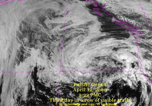
More Trails over Pacific Ocean 04/12/00 2:22 PMC-near 55` N latitude and 140` W longitude
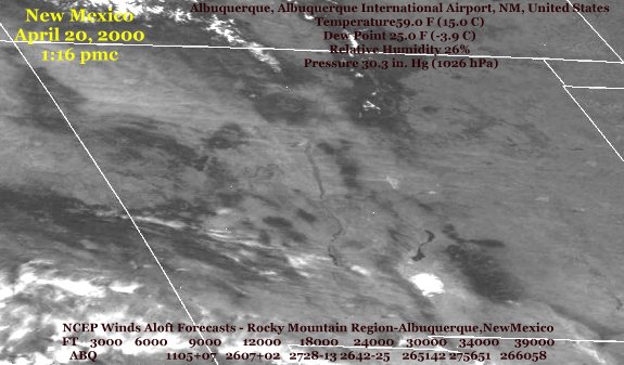
New Mexico April20, 2000 1:16pmc-Trails east/west across the state.
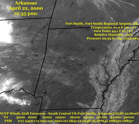
Arkansas and Oklahoma-April 22, 2000 12:35 pmc
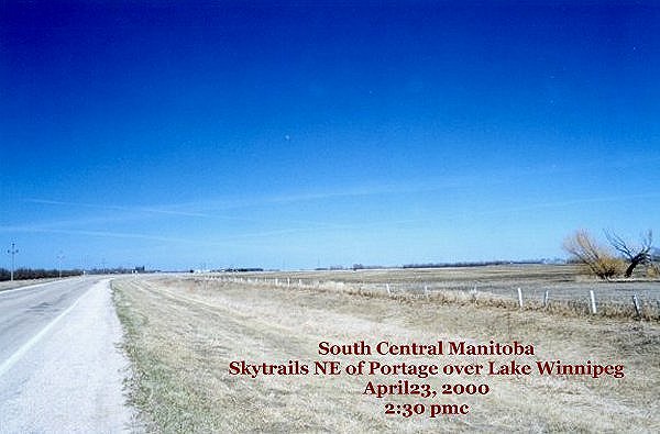
Over Lake Winnipeg, Manitoba April23, 2000 2:50 pmc
and
this is a 28mm photo of the X and lines in the sky as seen from Portage, Manitoba
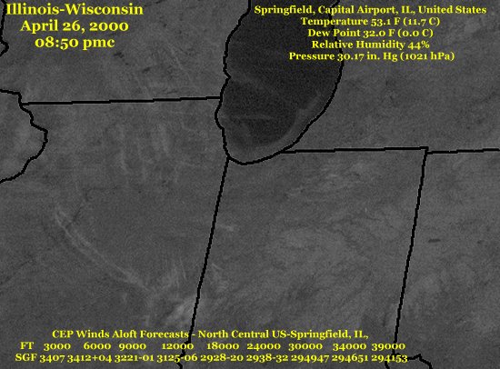
Illinois and Wisconsin- many trails April 26, 2000 08:50 pmc
Michigan-Ohio Trails 04/28/00 09:30 amc
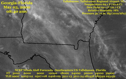
Southern Georgia and northern Florida-Trails and Xs May 03, 2000 08:40 amc
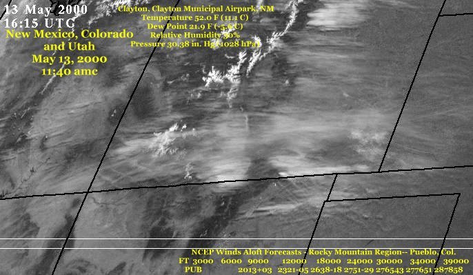
Northern New Mexico, Utah and Colorado May 13, 2000 11:40 amc
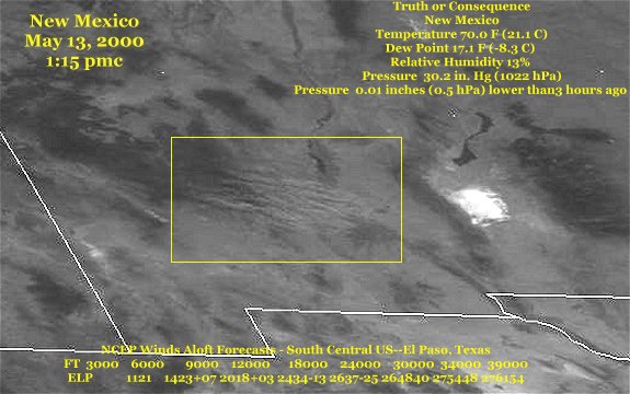
Trails over Hanover, New Mexico, May 13, 2000 1:05 pmc
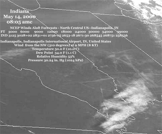
Trails Southern Indiana and Illinois May 14, 2000 08:05 amc
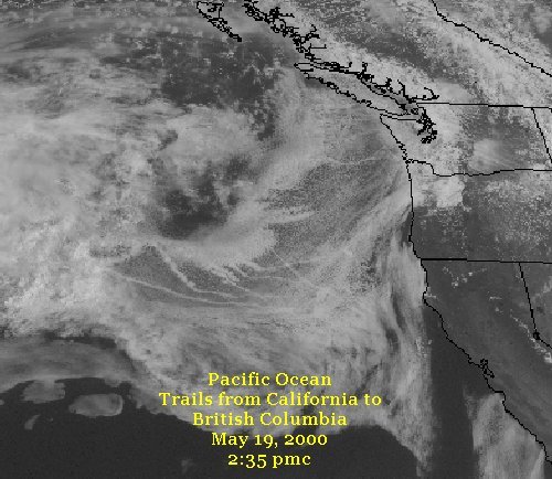
Trails over the Pacific Ocean off the California Coast May 19, 2000 2:10 pmc
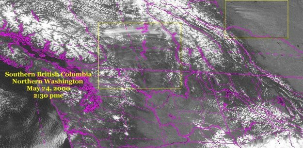
British Columbia and Alberta-Satellit image of trails-May 23 2:30 pmc
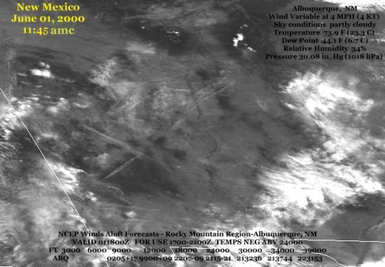
Trails over New Mexico-June 01, 2000 at 11:45 amc
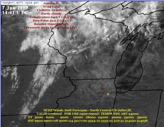
Trails over Illinois and Wisconsin on June07,2000 2:00pmc
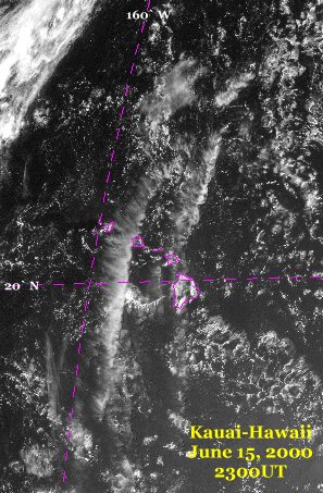
Trails over Kauai-Hawaii-June 15, 2000 2300 UT
p>
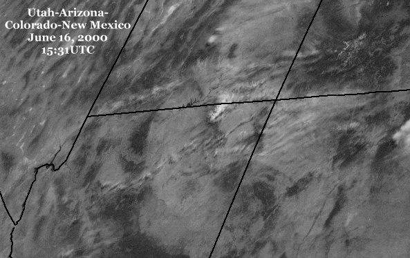
Trails over Utah, Arizona, Colorado and New Mexico-June 16, 2000 15:31 UT
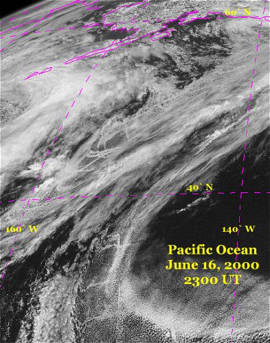
Trails over the Pacific Ocean at 45` N latitude and 155` W longitude on June 16,2000 23:00 UT.
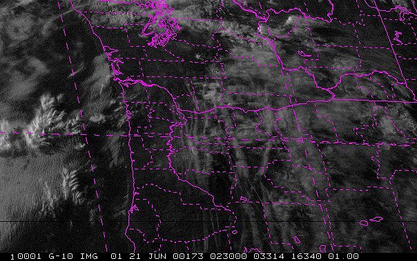
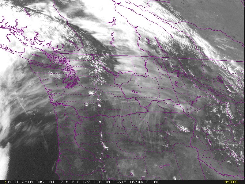
June 21, 02:30 UTC--Trails over Oregon
July 18,2000 at 1331 UTC-Trails over North and South Carolina -
Oct. 09, 2000 Lake Superior and Lake Michigan-Many Trails
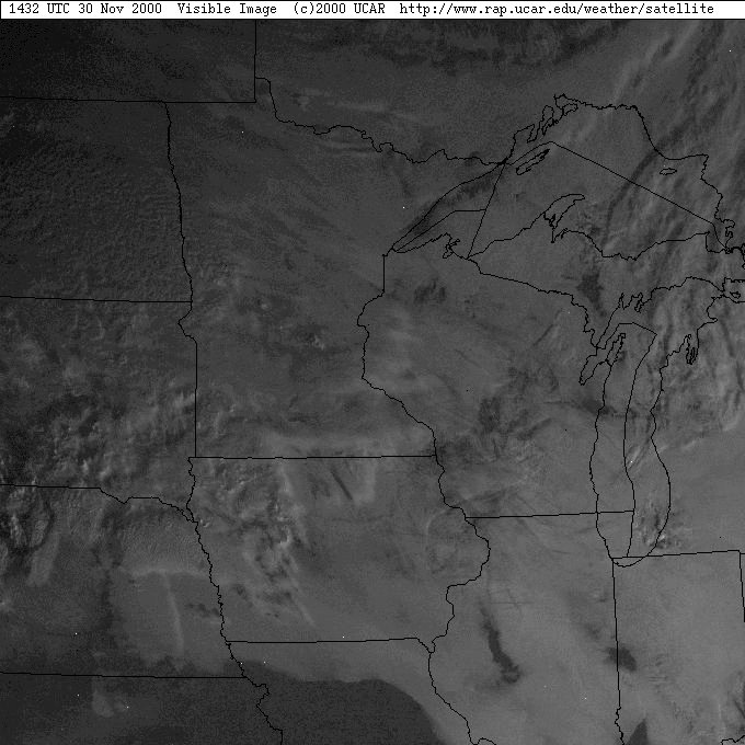
October 31, 2000-Trails over Ontario, Minesota, Wisconsin, Illinois, Iowa and Nebraska.
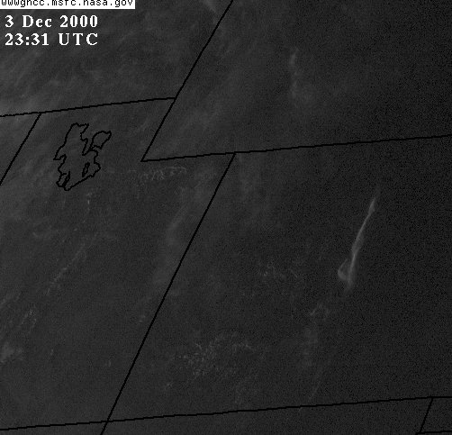
Dec. 03,2000 23:31 UTC-Sunset-Colorado-Large long white trail-N/S.
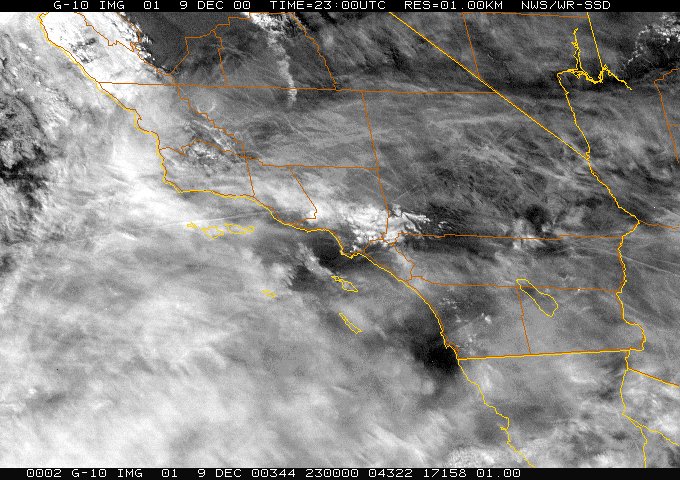
Dec. 09,2000 23:00 UTC-Las Angeles, California, many trails in the area.
GOES Atmospheric Soundings-North American Cities and Adjacent Coastal Waters
Winds and Temerature Aloft by the Aviation Weather Center
BACK TO THE HOME CONTRAIL/CHEMTRAIL PAGE
"Send a word or two below"--"Send" button is the upper right block below-next to e-mail.
On Sept.20/99 at 10:00am to the west and south of Portage la Prairie were a large number of contrails developing. There were lines upon lines stacked side by side
. I was not able to take any photos at the time and I am kicking myself now to have missed the opprotunity. The weather was clear,+10C and the wind was from the north. Later in the day I checked the GOES satellite images at the
US Weather Service
site and noticed the X patterns and lines through out North Dakota and into Canada.
Here are the GOES East and West weather satellite 6 hour image loops

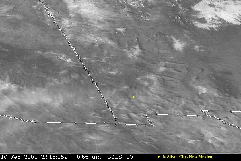
 Feb.10, 2001--22:15 UTC--New Mexico
Trails over the Pacific Ocean-March18, 2001 at 1800UTC.
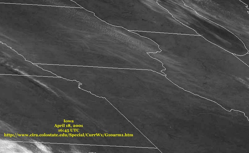
Trails over Iowa--April 18, 2001 16:45 UTC
Trails over Oregon, May 07, 2001 17:00 UTC UTC
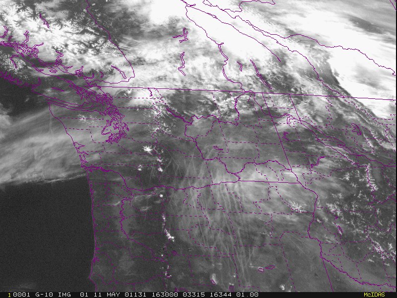
Trails again over Oregon, May 11, 2001 16:30 UTC UTC
CLOUD MOISTURE
MANIPULATION
![]()
