
 |
 |
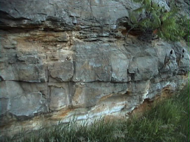
| Here at the entrance
to the
pothole section of the park (map)
the cliffs of basalt rock stand against the erosion of the river.
The photo above is just one of the many examples of beautiful cliffs in
the area.
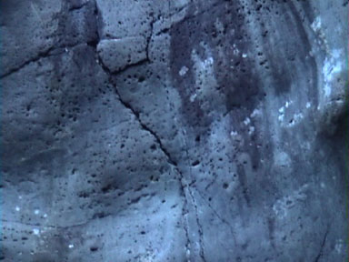
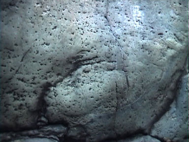
In the photo above right there is a gabbro inclusion in the basalt rock, very similar to the inclusion in basalt near the Lester River in Duluth. The photo at the right shows some pillow lava formation in the basalt. It is evidence that the lava flowed into a marine environment as it was formed. |
 |
 |
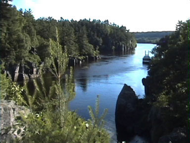 |
| These photos were
taken from
Angle Rock (see the detail on the map)
as the river turns sharply right. Earthquakes caused a fault that
the river followed as it reached this rock. In photo at the right
you might be able to see some of the fault lines as well the traces of
swirling current that at least in part caused the huge potholes all
around
this area.
The two photos below show two of over one hundred potholes in the park. Some of the potholes are only a few inches across and deep while the largest measured (bottom right) is 12 to 15 feet wide and 63 feet deep. The widest pothole , "The Caldron", is over 20 feet wide. Potholes form when the swirling water carrying sand cuts circular holes in the rock. How it starts in not known but as they grow more sand and rocks get trapped in the eddies and continue to drill away more rock. Even larger potholes are suspected in the marshy area next to the road landing. (2) |
 |
 |
 |
 |
 |
 |
 |
 |
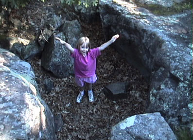
This photo shows one of the many fault lines visible in the park. I was not able to spend much time at the park on this visit but my family is already making plans for a return visit. |
 |
 |
| The St. Croix River occupies the gorge in the old basalt. To get out of the river valley a road cut on US Highway 8 through the younger sedimentary rock shows some of the effects of time. The photo above shows the limestone and shale cap and the photo above right shows the sandstone in a similar configuration to the Mississippi River Valley. |  |
1. MN Department of Natural Resources, The
Geology
of Interstate Park, 1994, pp 1-5
2. MN Department of Natural Resources, The
Geology
of Interstate Park, 1994, pp 8-9


