

My Favorite Web Sites
geography
geography
geography
geography

The Caribbean is part of the American continent. There are many countries that are located in the Caribbean. They are Cuba, Jamaica, Puerto Rico, and Haiti my country that is part of the great Antilles. Also, there are little Antilles constituted by Trinidad, Martinique, Guadeloupe etc. Thus, the geographical situation positions Haiti to the north of Cuba, southwest of Jamaica, and to the east of Puerto Rico.
Geographical features
Actually, Port-au-Prince is the largest city with a population of 752,000 inhabitants. It is also the capital. The highest elevation is Morne la Selle 8,793 feet or 2,680 meters.
Haiti has a total area of 10,695 square miles or 27,700 square kilometers. The longest river is the Artibonite River 174 miles or 280 kms. The largest lake is Etang Saumatre-66 square miles (170 sq. kilometers).
Annual rainfall is 20 inches (51 cm) in northwest to more than 254 cm on the highlands.
Average temperature is 95 degrees Fahrenheit )34 degrees Celsius) in July to 87 degrees Fahrenheit (34 degrees Celsius) in January.
Border
Haiti shares borders with the Dominican Republic. Both are two countries that form the Island of Espanola.
The meaning of Haiti can be translated by "Flower of highlands" or "Mountains land" or "Land of high mountains."
Language
There are two official languages in Haiti: French and Creole.
French is the language used for official documents such as birth, marriage, and death certificates; also all legal documents in terms of passport, justice, etc. It is the language used by teachers and professors at school and university. Whereas, Creole is the language spoken by the majority of the population.
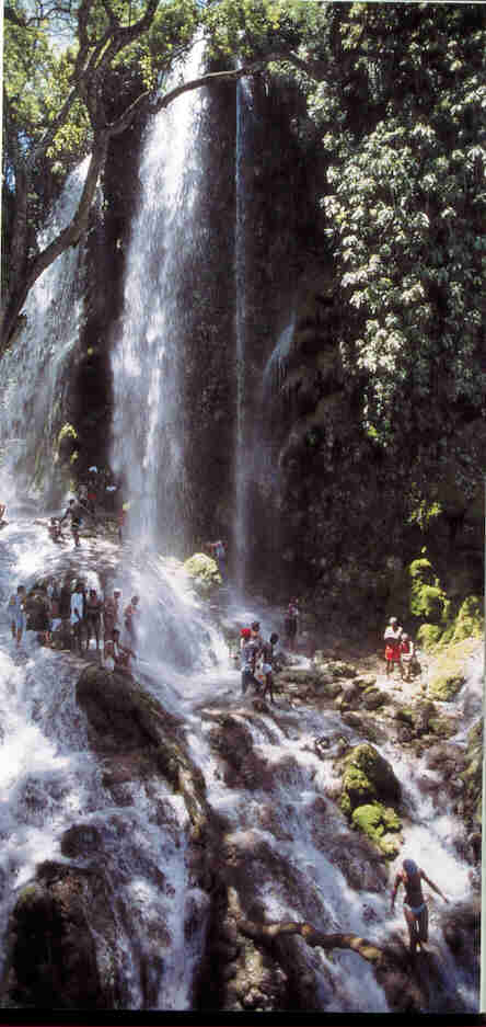
Photos taken from Enchantment of the World: Haiti, by Hintz, Martin Press, 1998.
