

We found Raught run on a topo map while looking for the road that leads to the old farm land along the Clarion River. So, we decided it would make a great hike. It was simple - just follow the stream. This picture was taken after about 20 minutes of hiking in (supposedly) the right direction. Do you see a stream??

We did find Raught run, eventually. This is a typical view of the stream after about an hour of hiking. It was very pristine, and in a practically untouched and wild area.
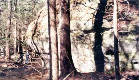
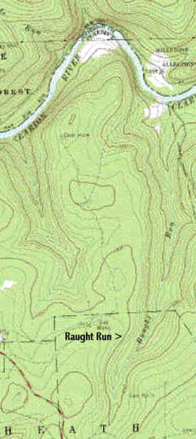
As we approached the river, or so we thought, there was a stretch of large boulders like this one that the stream mandered through. My cousin and brother can be seen to the left of this gargantuan conglomerate, one of a few boulders that were just mind-boggling in size.
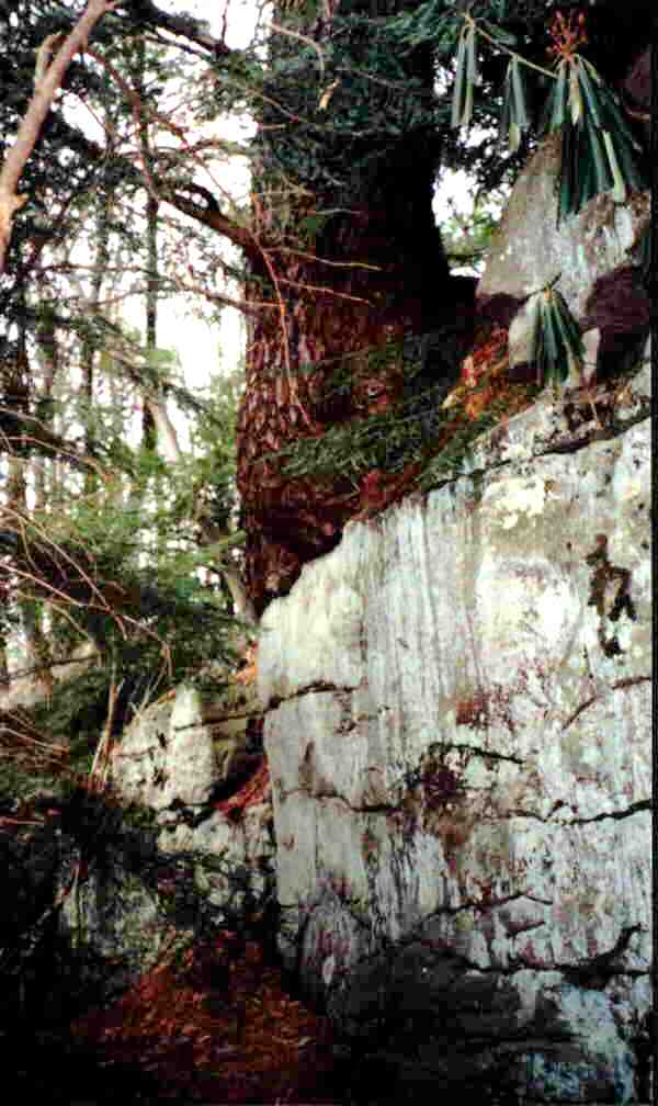
A pine tree seems to be sitting comfortably on the edge of this big rock. This interesting scene was found along Raught Run near the Clarion River.
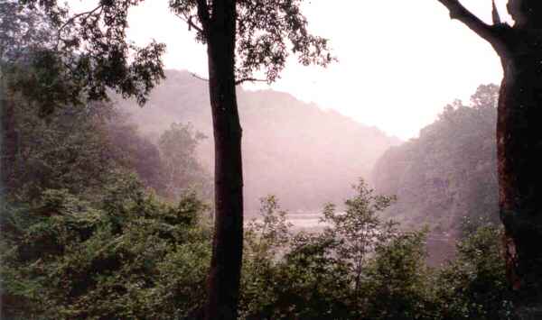
Looking downriver from where Raught run enters the Clarion River after a rain on a humid day. The fog gives this place a surreal, prehistoric look. Keep your eyes peeled for Raptors... And yes, we did make it to the river. Finally.
