
| Home | About Me | Alpine Climbs | Scrambles | Ice Climbs | Mountain Links | Guidebooks | |

Note for March 6, 05: - This was a trip with Mark B and Matt who is from Nova Scotia. Mark has alot of experience under his belt and tries to get out as much as possible. Unfortunately Colin couldnt come because of work. Mark brought Matt who had never seen the mountains before and he gave'r all the way to the col, then stayed there while we went up to the summit. A couple weeks back Mark posted a message on Live The Vision looking for climbing partners from Red Deer. Other than the wall gymnasts at the Collicutt Centre, Red Deer doesn't have many climbers, just alot of them hunting folk with big 1 tonne diesel duelies.
We left RD at 6:00am and arrived at the trailhead by 10:00. Bringing along skis or snowshoes would have saved time on the approach, but we trekked on, taking turns breaking trail. 4 hours to the col, 5 to the summit, and 9 hours back to the trailhead.
Dates Summited - March 6, 2005
Elevation - 2630m
Elevation Gain - 780m
Location - Smith Dorrien
Its the Time of the Season
|
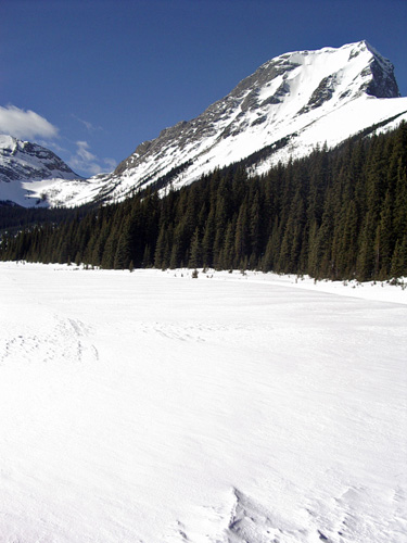
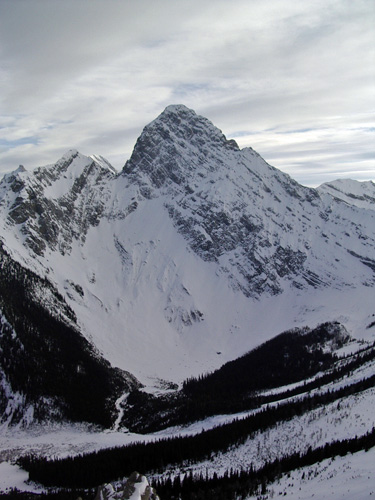
It took about two hours to get into this meadow. The mighty Mount Smuts juts above the white valley. The scramble route ascends the left skyline ridge.
|
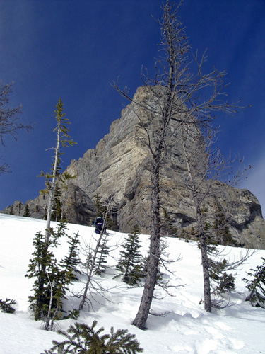
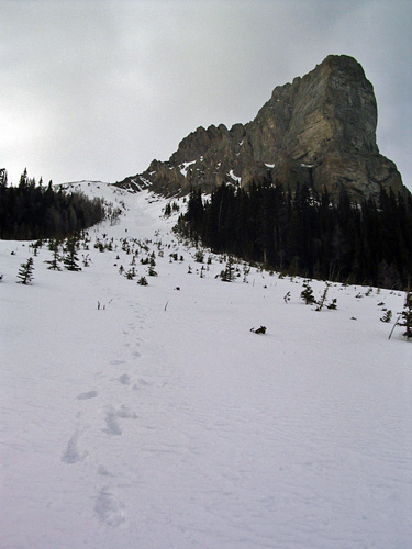
Here is Matt breaking trail like a beast at treeline. The Fist looms in the background.
|
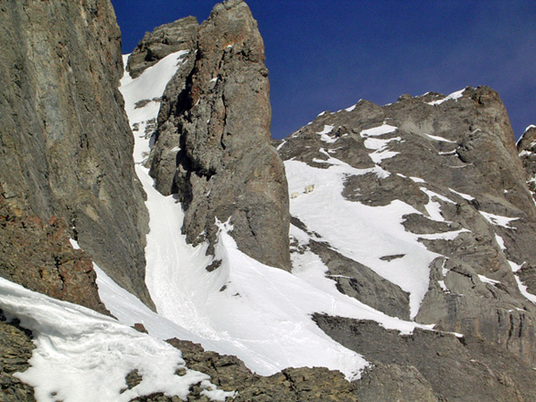
Finally we reach the col. Our route ascends the left snow gully up to the notch, then traverses left to the summit. We didn't have the peak all to ourselves. These goats were practicing their self arrest all day
|

After ascending the gully to the notch, we traversed left towards the summit, crossing an airy snow slope with small rock holds. Coming up it was fine, but going down it would have been harder.
|

Mark enjoying the summit time. We stayed for a couple minutes, I downed a Barq's, then we left looking for the alternate route described in Scrambles.
|

Mark on the rappel. We spotted a nice looking crack at the top of the alternate route which took us back into the main gully. We put in two pins, backed up with a couple stoppers. I rappelled last after removing the backup gear.
|
Mount Birdwood with small icey smears on its face
|
Mark and Matt blending in with the trees, glissading down this slope. There wasn't any avalanche danger, which allowed us to take this quicker route down. When we got down to the valley, I spoke eagerly with a trailhead time of 7:00pm sharp. Mark was content with a more casual time of 7:35. At 7:34, we arrived back at the trailhead.
|
|
|
