Arc View
Arc View is a multi-function GIS package. It is derived from Arc Info, which is a command line based application .It is considered the most flexible and powerful available, however it requires a good deal knowledge and skill to operate effectively.
Arc View is being replaced by Arc GIS which offers more depth and a greater level of compatibility.
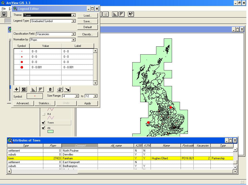
In my experiments with Arc View I have a large dataset from Bartholomew's, which covers the UK. It has both a physical map, and multiple layers (known as themes) showing points (such as towns), polygons (such as administrative boundaries, or inland waters) and lines (roads and rivers). Attached to each layer is a file of attributes - for instance, the towns have a unique ID no., details of population etc.
I created a database file containing details of several surveying firms. I have then joined this to the attributes file (shown in the bottom left of the screenshot below), using the 'town' field which allows each firm to be attached to the relevant town. Displayed below, the legend editor allows you to show the Town theme classified by vacancies. This shows most vacancies to be in the London area.
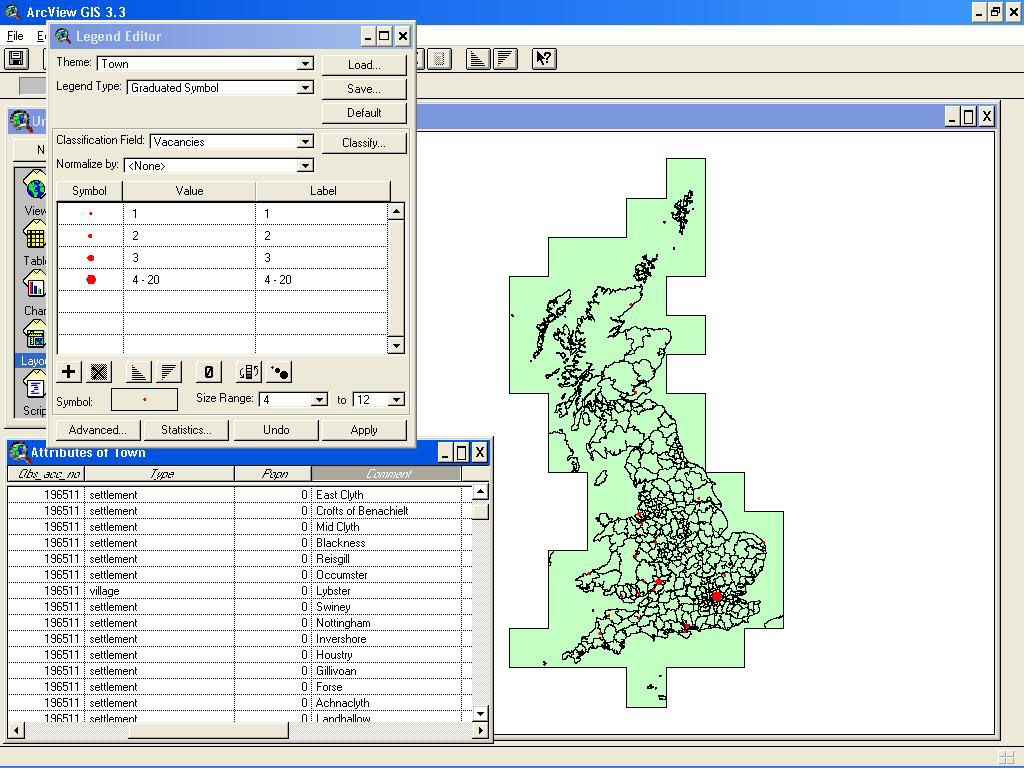
This shot shows more clearly how the two tables have been joined.
Using the Legend Editor, the vacancies can be normalised by population. This shows that relative to the population, most vacancies are in south west Wales, and the north east of England.