Photos from a May, 2021 Team Waterfall adventure with Darrin, Scott, Spencer, John, David, Brandi, Thomas, Kitty, and the Gnome. (Photos)
Photos from a September Team Waterfall weekend trip on private property in the Black Mountains, including hikes to Twin Falls, Worth Falls, and Pipeline Falls. (Photos)
Our May, 2019 weekend with Team Waterfall backpacking in the Black Mountains. (Photos)
My January, 2019 exploration of Grassy Knob Branch in the Black Mountains with Scott, Jennifer, and Jack. (Photos)
Our October, 2018 camping weekend at John's secret cabin in the Black Mountains. (Photos)
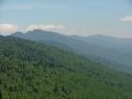
My June, 2018 backpacking trip in the Black Mountains, starting from the Woody Ridge Trailhead and going all the way to Mount Mitchell and back. (Photos)
Our June, 2018 exploration of Camp Creek in the Black Mountains (Photos)
My May, 2018 backpacking trip with Christy in the Black Mountains, featuring an exploration of Middle Creek with Thomas and Zachary on Saturday and a hike up Mount Mitchell on Sunday. (Photos)
Our August, 2017 dayhike with the dogs to Potato Knob and Mount Gibbes in the Black Mountains. (Photos)
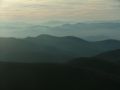
My May, 2015 dayhike with Brenda combining the Woody Ridge Trail, the Black Mountain Crest, and the Colbert Ridge Trail. Photos
My June, 2006 backpacking trip with Bob from Bowlens Creek to Mount Mitchell. Photos
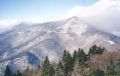
My January 2006 solo dayhike from Black Mountain campground to Mount Mitchell.
My March, 2005 solo backpacking trip from Woody Ridge to Carolina Hemlocks.
My September, 2004 solo backpacking loop trip from Carolina Hemlocks, including the summit of Mount Mitchell.
Our November, 2003 backpacking trip from Mountain Mitchell to Deep Gap.
Our February, 2003 dayhike on the crest, starting from Mount Mitchell.
Our February, 2002 dayhike from Mount Mitchell Road to Balsam Gap.
My September, 2001 solo dayhike up Woody Ridge to Gibbs Mountain.
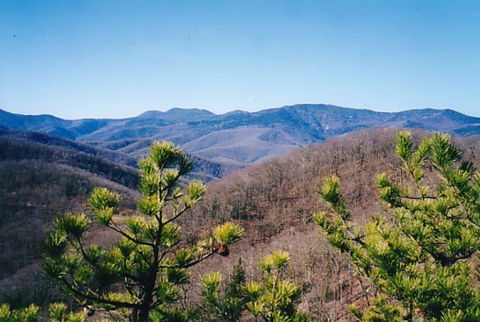
Our March, 2001 dayhike to Potato Knob.
Our September, 2000 backpacking trip from Carolina Hemlocks to Bowlens Creek.
Our January, 2000 attempted dayhike from Mount Mitchell Road to Balsam Gap.
Our 3-day backpacking trip from Bowlens Creek to Carolina Hemlocks.