Site hosted by Angelfire.com: Build your free website today!

Cromwell Bridge

Info on the old Cromwell Bridge, Central Otago


The Cromwell bridge is a steel girder bridge that was submerged when Lake Dunstan was filled.

WGS84 coords:
45°03'00.603"S
169°12'37.206"E
185m height (WGS84 ellipsoial)

NZMG coords:
5566230mN
2211520mE
Large scale 1:50000 view - Cromwell bridge location
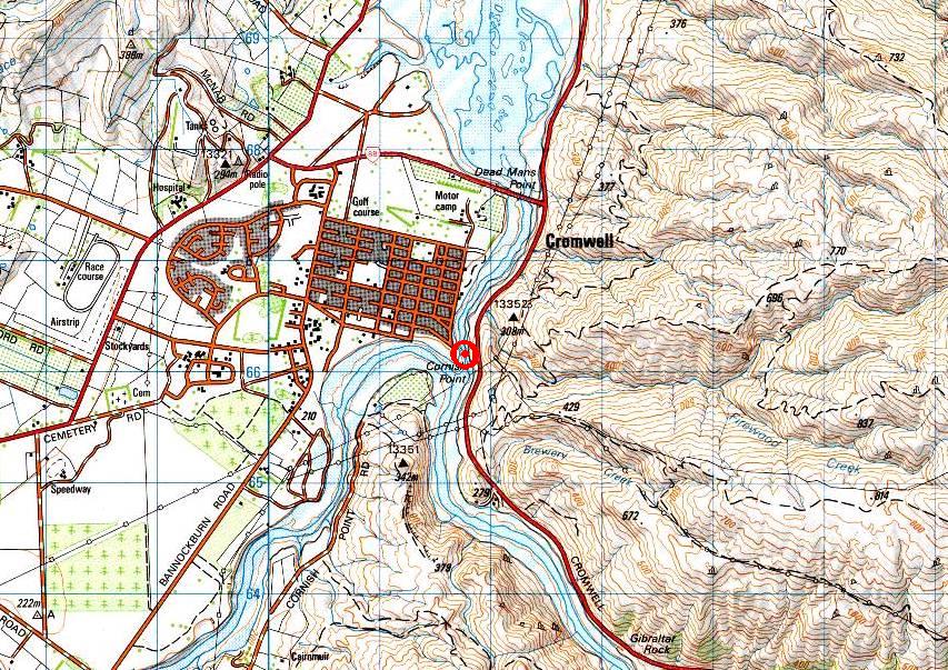
Click on the map for a zoomed in view.


What the bridge looked like before it was flooded


Looking north from the Old Cromwell Bridge before it flooded
(courtesy Rick McGregor, published in "NZ`s South Island Rivers. A guide for canoeists, kayakers and rafters" by Grahm Egarr.)


Looking south down the Clutha under the Old Cromwell Bridge
(courtesy Otago Canoe and Kayak Club)


An old photo of the Old Cromwell Bridge, date unknown


Site of the Old Cromwell Bridge today - Cromwell lookout