< 290 to 299 | Home | 310 to 319 > | |||||||||||||||||||||||||||||||||||||||||||||||||||||||||||||||||||||||||||||||||||||||||||||||||||||||||||||||||||||||||||||||||
|
|
|
| ROUTE LOG |
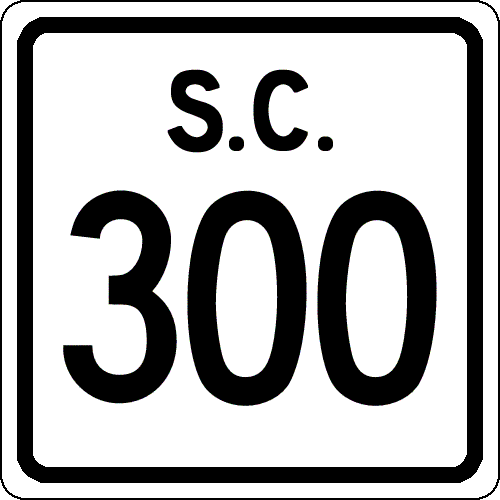
US 278: 0 - 0 Allendale-Barnwell Line: 9.8 - 9.8 US 301: 1.7 - 11.5
|
Creation: Resurrected as a state route in 1949, running the way it does now.
| Adjustments: SC 300 originally appeared as new primary routing in 1940. It originally ran from SC 3 (current US 278) only to the Allendale-Barnwell Line. In 1941 or 1942, SC 300 was extended southeast to Ulmers, and continued southeast to SC 641, for a total length of 18 miles. In 1948, SC 300 was downgraded to secondary status: unknown route in Barwell County and S-3-48. SC 300 was resurrected in 1949. Improvements: SC 300 was fully paved upon resurrection; no multilane sections Comment: SC 300 may have used part of today's US 301 to get through Ulmers (was SC 508 in 1942-48). |
||||||||
| US 301 |
| SC 301 not currently assigned | |||||||||||||||
| Previous SC 301's: |
SC 301 #1: Appeared between 1924-26 as new primary routing. Ran from SC 30 north of Yemassee(current US 17 ALT) north to SC 6 (current US 21-SC 64 jct), a distance of 19 miles.
In 1927, US 21 was assigned to this route. In 1928, SC 301 was removed from this multiplex. SC 301 #2: SC 301 was reassigned in 1928 to run from SC 30-34 (current US 15-SC 34) Lydia southeast to US 76 Timmonsville, 16 miles away. SC 301 was renumbered as SC 403 in 1932, as US 301 was assigned in South Carolina. |
||||||||||||||
|
|
|
| ROUTE LOG |
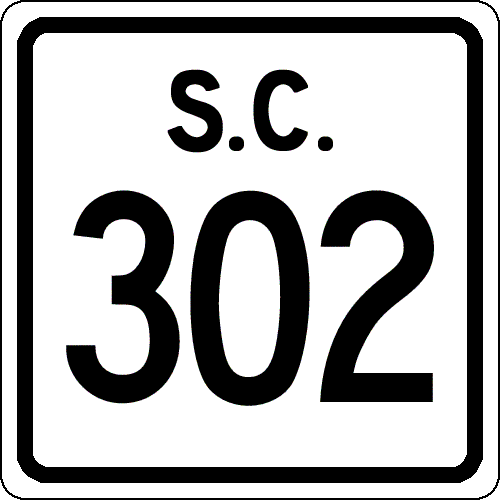
SC 125: 0 - 0 US 278: 3.3 - 3.3 SC 118 WB: 9 - 12.3 SC 19, SC 118 END: 0.4 - 12.7 US 78, SC 118 BEGIN: 2.9 - 15.6 SC 4 WB, SC 118 WB: 0.1 - 15.7 SC 4 EB: 12.9 - 28.6 SC 113 SB: 8.8 - 37.4 SC 39: 0.1 - 37.5 SC 113 NB: 0.2 - 37.7 Lexington-Aiken Line: 6 - 43.7 US 178: 5.3 - 49 SC 6 EB: 5.7 - 54.7 SC 6 WB: 1.6 - 56.3 I-26 (exit 113): 9.7 - 66 US 21, US 176, US 321: 1.3 - 67.3
|
Creation: Created in 1973 as an upgrade to S-2-32. Ran from SC 125 to US 78 east of Aiken only. This had been part of SC 106 prior to 1948, and is the 2nd SC 302.
| Adjustments: Between 1974-77, SC 302 was extended northeast through Wagener, Pelion, and Springdale to its current end at US 21-176-321. This extension replaced SC 215. Improvements: SC 302 was fully paved upon designation. By 1977, SC 302 had brief multilane sections at US 78 and from I-26 to US 21-176-321. By the mid 1980's, SC 302's 4-lane east of US 78 was a couple miles. SC 302 was 4-laned around the southeast side of Aiken by 1997. Comment: SC 302 serves the Columbia Airport. SC 302's routing from Aiken to Springdale was once the original SC 121. | Previous SC 302's: |
SC 302 #1: Appeared by 1932 as new primary routing. Ran from SC 763 (current US 401) Oswego to SC 30 (current US 15) Dubose Crossroads, 4 miles away. SC 302 briefly left Sumter County into Lee County and came back into Sumter County.
In 1948, SC 302 was downgraded to S-43-12 and S-31-9. |
||||||
|
|
|
| ROUTE LOG |
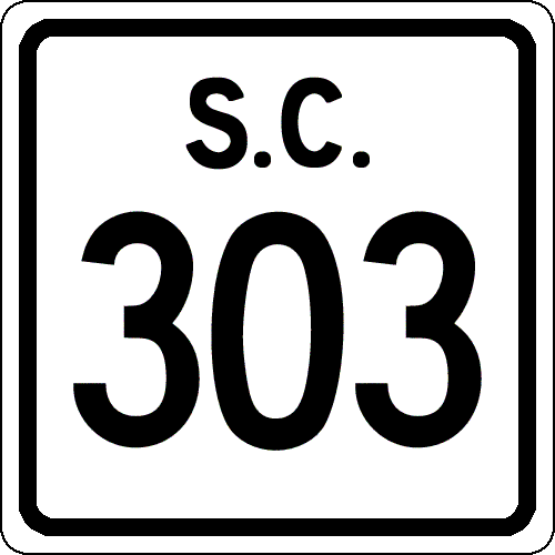
US 17: 0 - 0 US 17 ALT, SC 63: 13.3 - 13.3
|
Creation: Created in 1930 as a renumbering of SC 321. Originally ran from SC 32 (current S-15-14) Green Pond north through Ritter to SC 30 (current US 17A-SC 63) Walterboro.
| Adjustments: In 1934, SC 303 was extended south over SC 32 to its current ending, as SC 32 was rerouted further south along today's US 17. Improvements: SC 303 was fully paved by 1932; no multilane segments Comment: SC 303 is signed as TO I-95 from US 17, making it a viable alternative to travel from Beaufort to I-95 Walterboro. |
|||||
|
|
|
| ROUTE LOG |
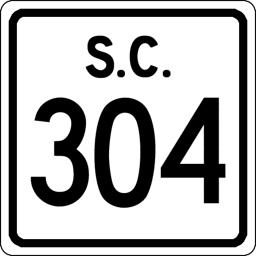
BEGIN SC 304: 0 - 0 SC 70: 0.7 - 0.7 US 78: 5.2 - 5.9 US 78 BUS: 0.1 - 6
|
Creation: Created in 1939 as new primary routing, running the way it does now.
| Adjustments: SC 304 was extended in both directions in 1940: North 4 miles into Bamberg County ending at today's S-5-29 (old SC 517, which didn't exist in 1940) and south to SC 64. This brought SC 304 to a length of 16 miles. In 1948, SC 304 was reduced back to today's Hilda to Blackville routing, leaving behind S-6-14, S-6-16, and S-5-37. Improvements: Today's active SC 304 was fully paved in 1941 or 1942; no multilane sections Comment: SC 304 is one of the few primary routes that ends at all secondary roads where geography is not the reason. |
|||||
| SC 305 not currently assigned | ||||||||||||
| Previous SC 305's: |
SC 305: Appeared in 1939 as new routing. Ran 5 miles from US 76-301 Florence north and east of town along Church St to Oakland Ave, then Wilson Rd east to Old Marion Hwy. where SC 305 left town. This had been SC 3's original route from Florence to Marion in the early 1920's.
In 1940, SC 305 was extended east 3 more miles, ending at today's SC 327. In 1948, SC 305 was downgraded to S-21-24. |
|||||||||||
| SC 306 not currently assigned | ||||||||||||
| Previous SC 306's: |
SC 306: Appeared in 1939 as new routing northeast of Summerton. Ran as a 3 mile stub from US 301 to Davis Station.
SC 306 was downgraded to S-14-14 in 1948. |
|||||||||||
| SC 307 not currently assigned | ||||||||||||
| Previous SC 307's: |
SC 307: Appeared in 1941 or 1942 as new primary routing. Ran from SC 3 (current US 278) Siegling northeast through Hays Crossroads, and ending at SC 508 (current US 301) near Ulmers.
In 1948, the 4 miles of SC 307 were downgraded to S-3-39. |
|||||||||||
|
|
|
| ROUTE LOG |
SC 56, SC 72: 0 - 0 I-385 (exit 2): 2.9 - 2.9 SC 49: 4.2 - 7.1 US 221: 3.8 - 10.9
|
Creation: Resurrected as a state route in 1949, running as it does today.
| Adjustments: SC 308 originally appeared in 1940, running as it does today. SC 308 was downgraded to secondary status in 1948, partially as S-30-31, before regaining primary status in 1949. Improvements: Fully paved in 1949; no multilane sections Comment: SC 308 is the daughter of SC 49's predecessor, SC 30 #2. |
|||||
| SC 309 not currently assigned | |||
| Previous SC 309's: |
SC 309: Appeared in 1940 as new primary routing. Ran from SC 341 Hobbs Crossroads southeast to US 301 north of Olanta.
In 1941 or 1942, SC 309 was extended southeast to end at SC 341 near Lake City for a total of 12 miles. Between 1968-70, SC 309 was renumbered as part of today's SC 403. The westernmost 0.25 was downgraded to S-42-14 at Hobbs Crossroads. |
||
Previous: SC 290 - 299 |
Next: SC 310 - 319
Top | South Carolina Hwy Index
Home