

Satellite image archive:
Choose a year: 1987 1991-92 1997-98 1999-2000 2001-02 2002-03 2003-2004
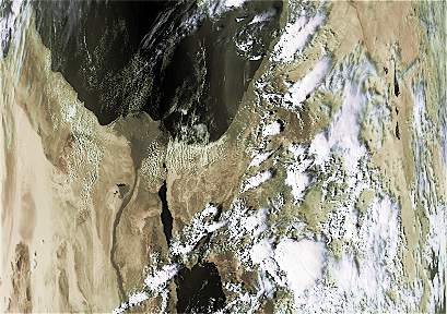
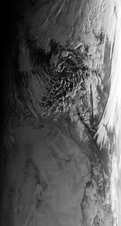
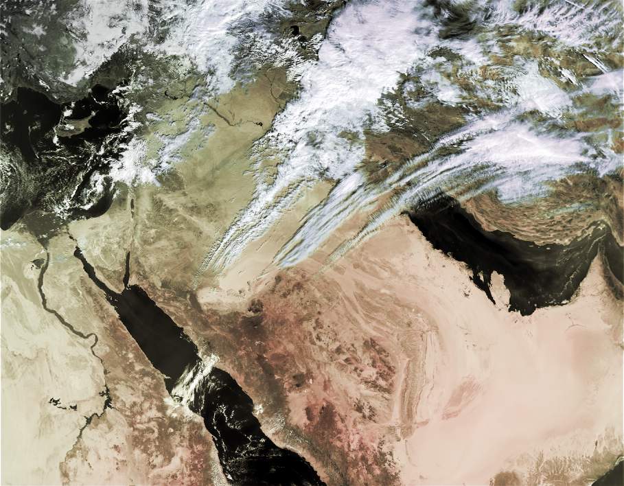
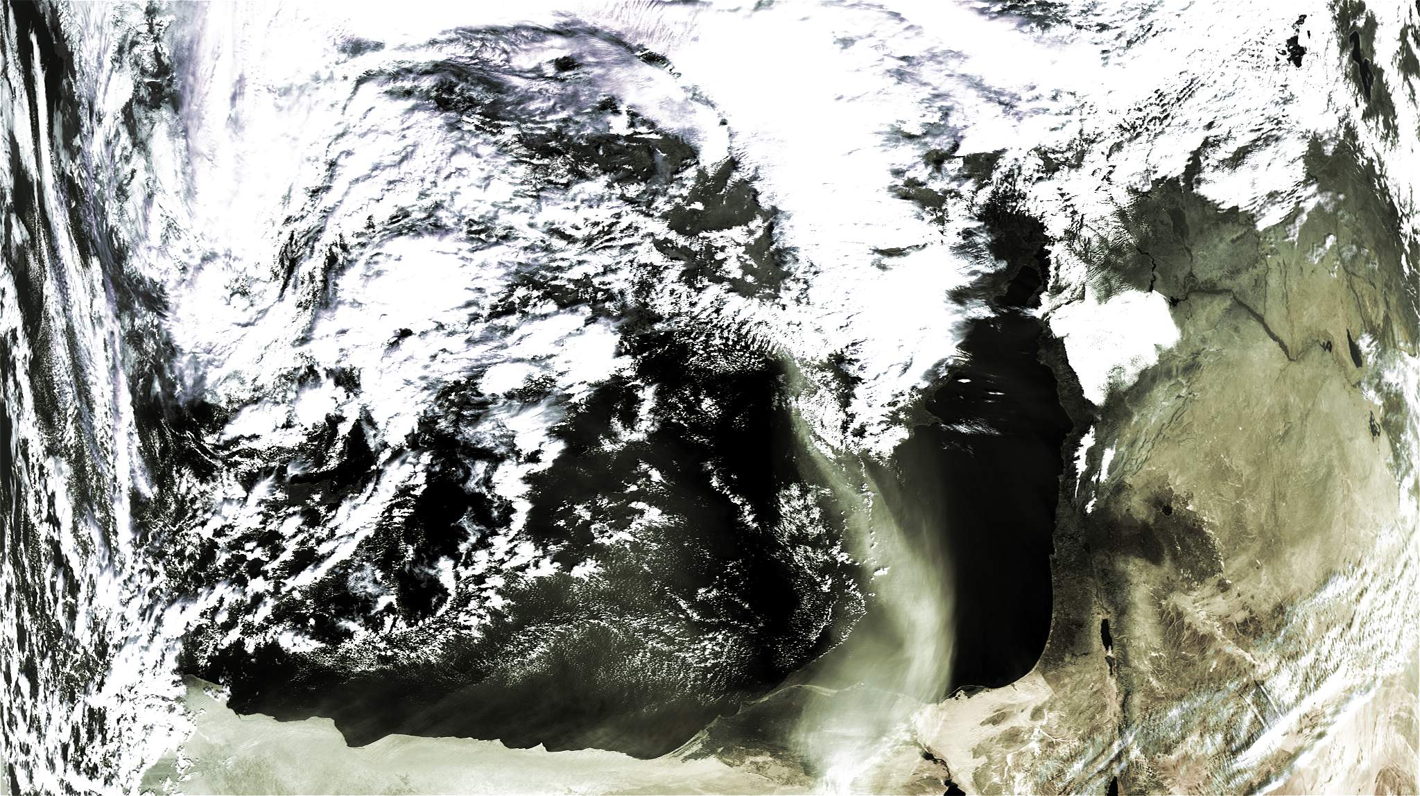
Active Red Sea trough 1987:
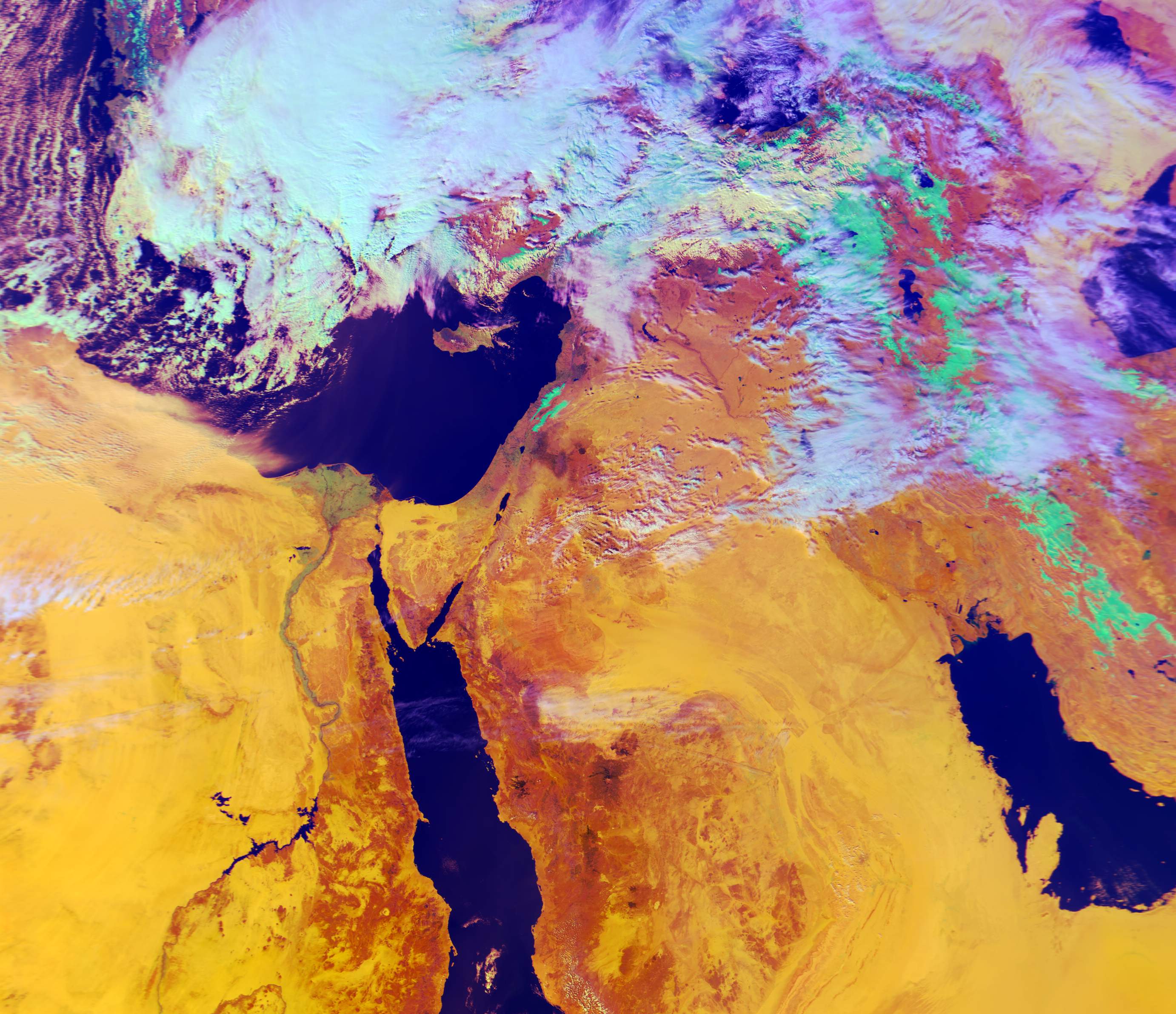
16\10\1987 11:30 UTC - Thermal satellite image.
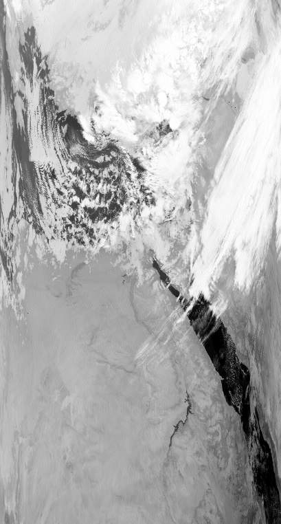
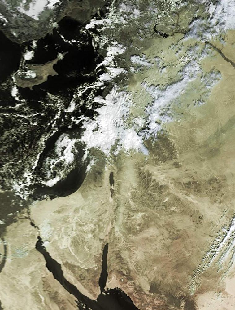
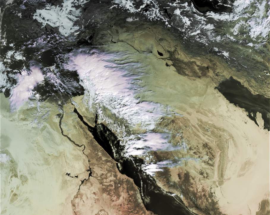
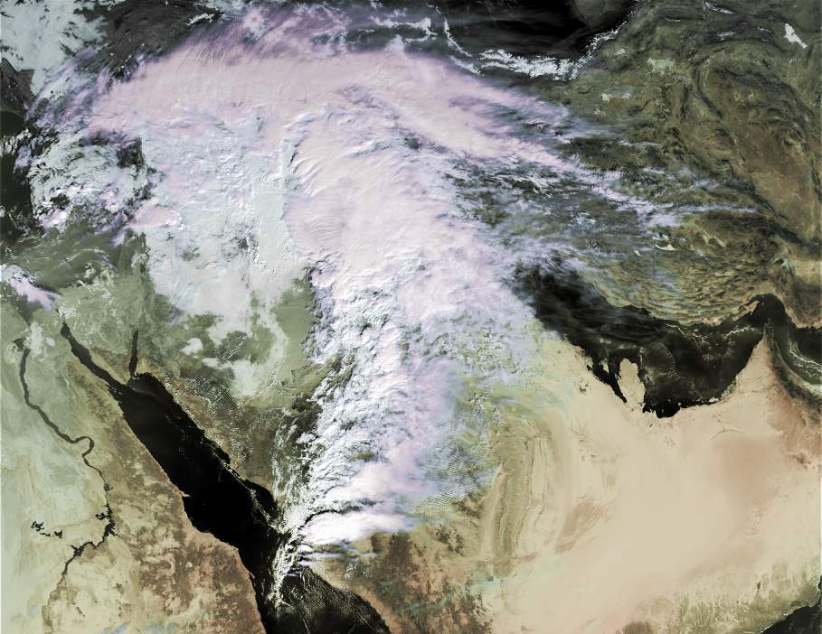
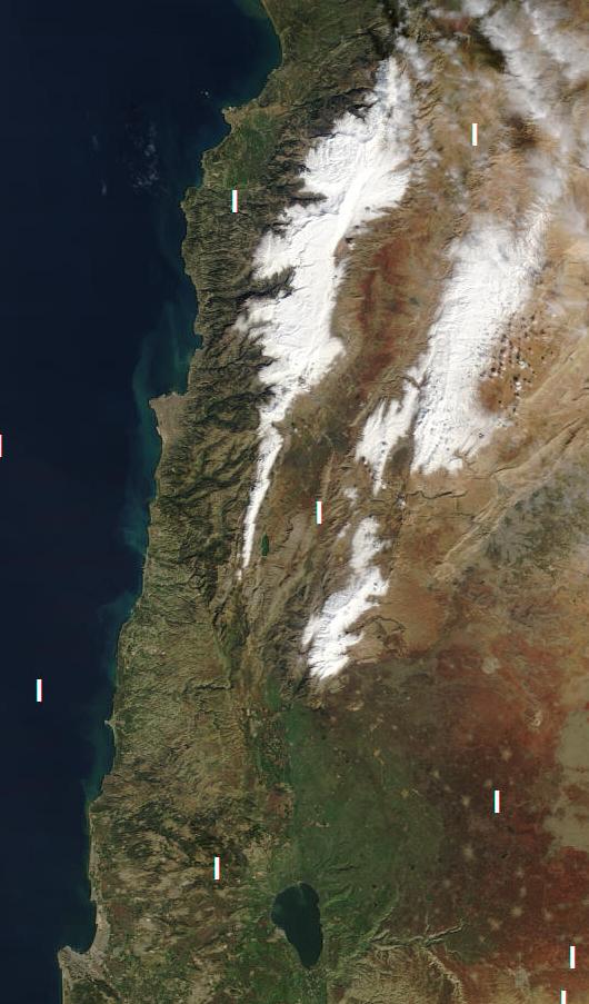
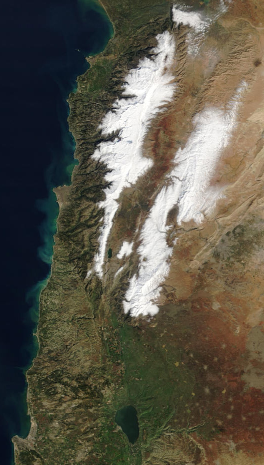
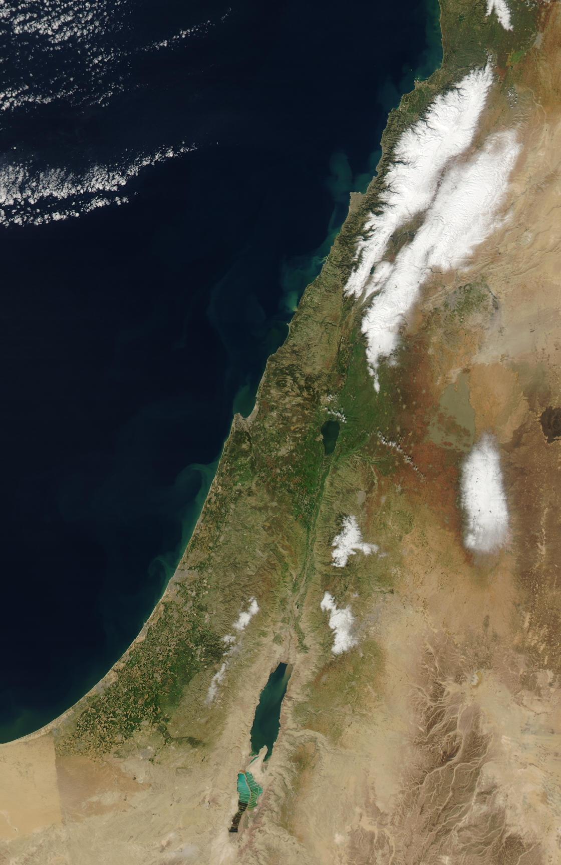
Heavy snow above 300 meters across Israel:
In this satellite image, you can see the snow that fell on 1\1\92 in the Golan Heights, Gallilee, Samaria & Jueudea and more.
Active Red Sea trough 1997: Golf ball size hail fell in Be'er Sheva and accumulated up to 10 cm.
Pictures from this storm - David shohami
Deepest low pressure system ever recorded in Israel- 986 millibar. It caused a severe dust storm with visibility less than 30 meters. This "sharav low" turned into a major winter system with heavy snows in the mountains on the 18-19 of march.
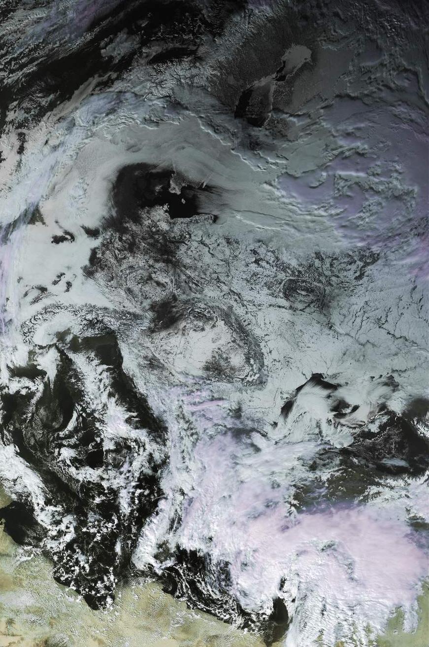
15\3\1998 11:40 UTC noaa-14 APT
16\3\1998 11:20 UTC noaa-14 APT
17\3\1998 11:20 UTC noaa-14 APT
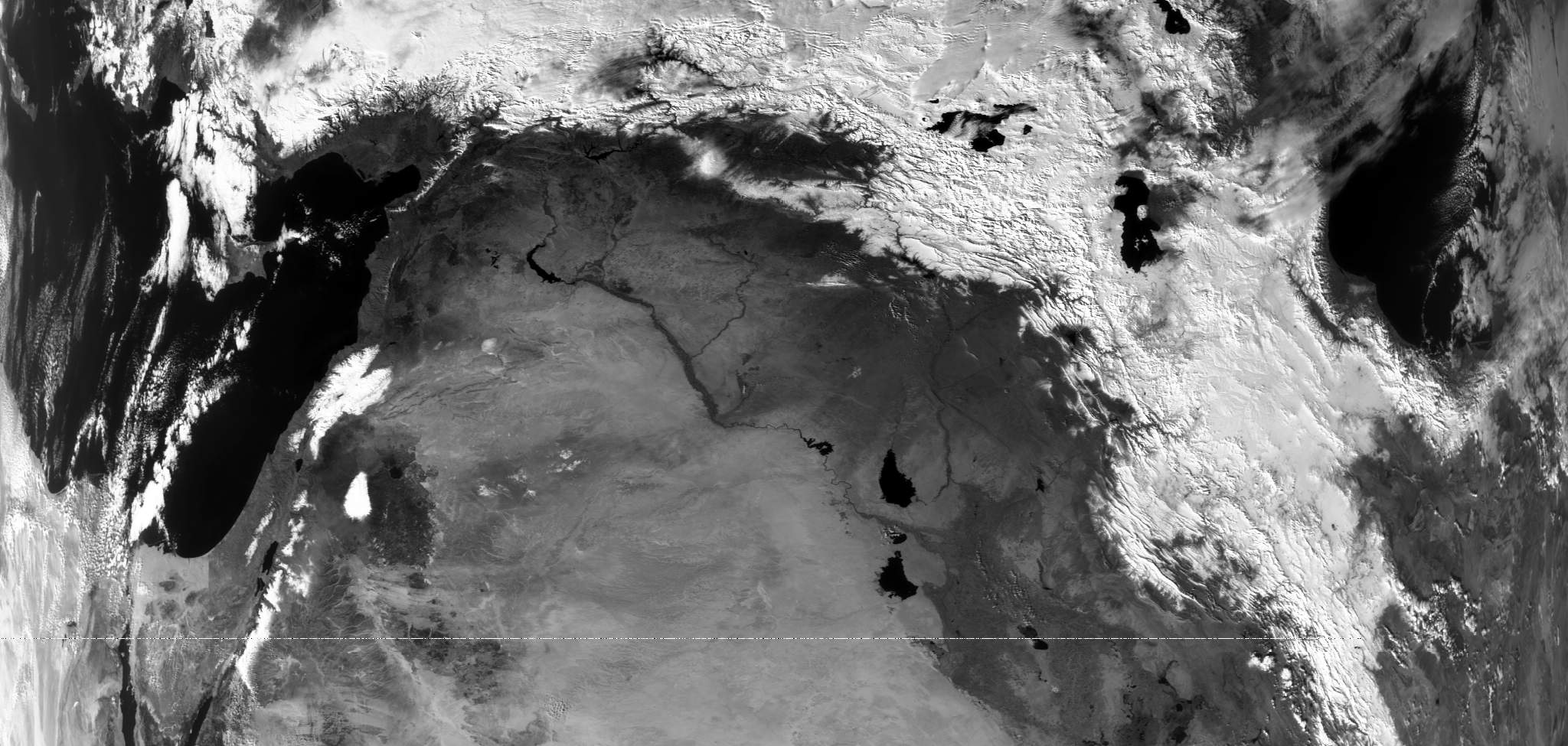
Heavy snow storm in Israel. Over 25 centimeters of snow in Jerusalem.27\1\2000 13:00 UTC Noaa 14 APT
28\1\2000 13:00 UTC Noaa 14 APT
28\1\2000 13:00 UTC Noaa 14 Full
29\1\2000 13:00 UTC Noaa 14 - Snow cover. It is a little hard to see the snow because of the cloud cover.
Heavy rains across the country from a strong low pressure system over Cyprus. 300 millimeters fell in Zihron Yaakov in one day!!
Another deep low pressure over Cyprus with cold polar air brought snow to the Hermon, Golan, and the Upper Galilee.
First Sub-Tropical of the season over Israel brought cirrus clouds to our area.
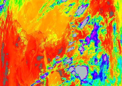
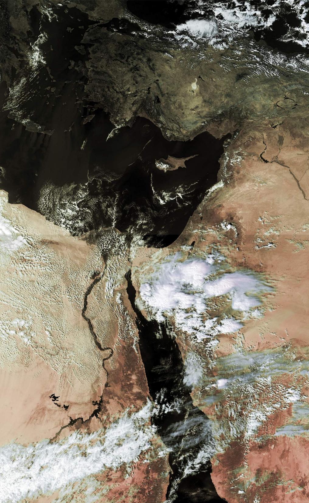
16\10\02 02:24UTC - thermal
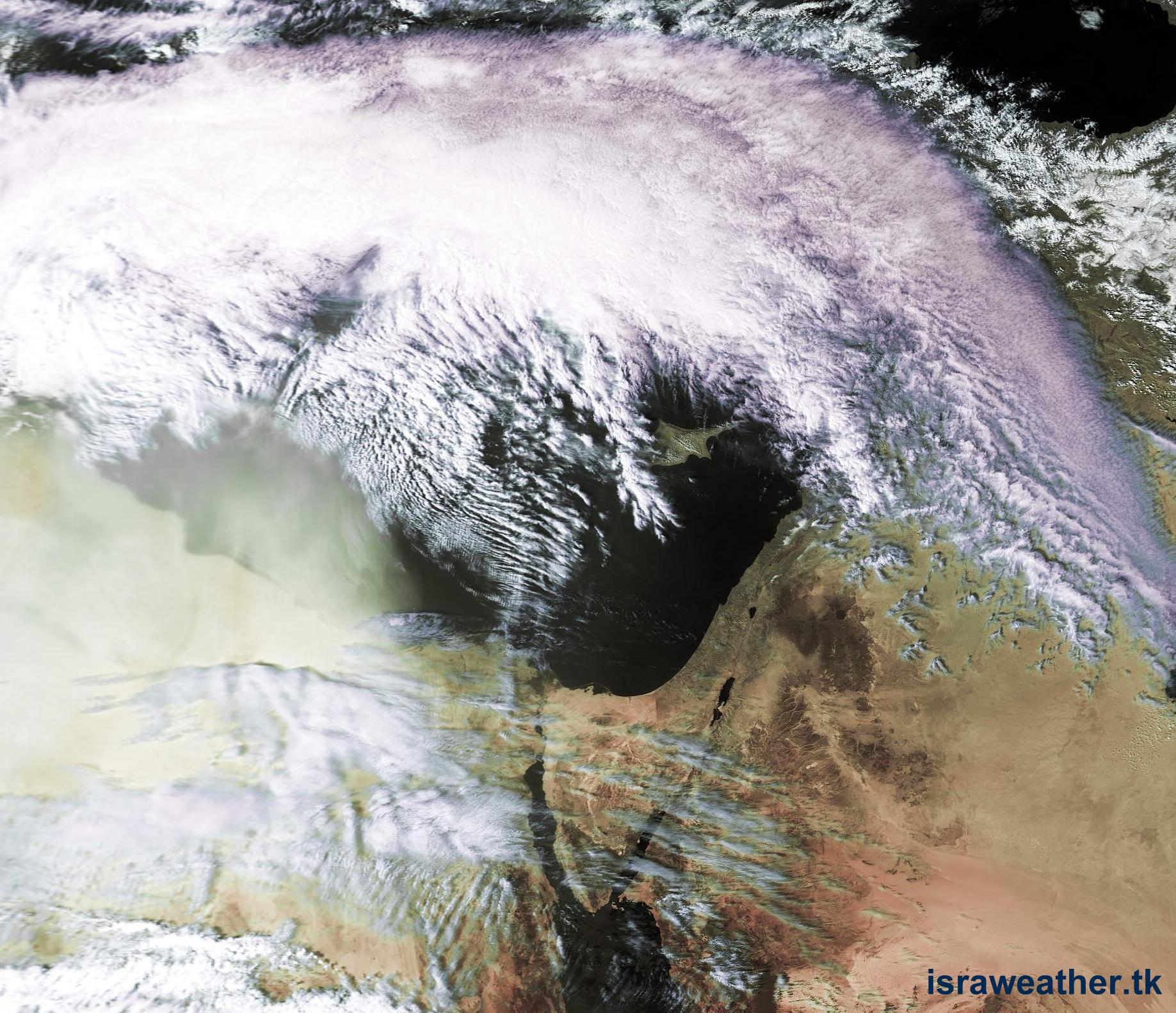
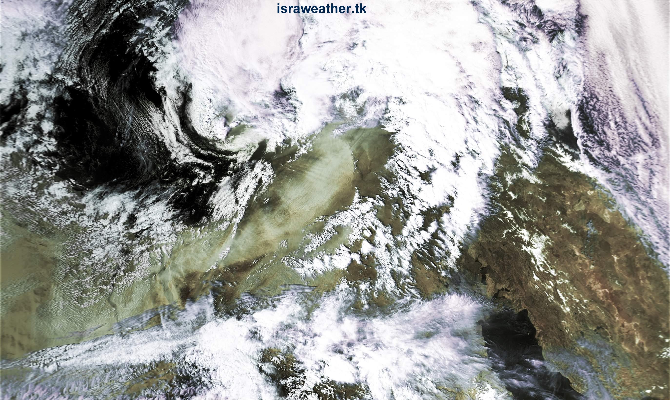
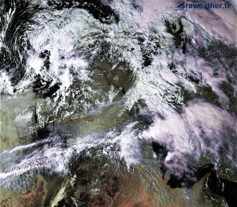
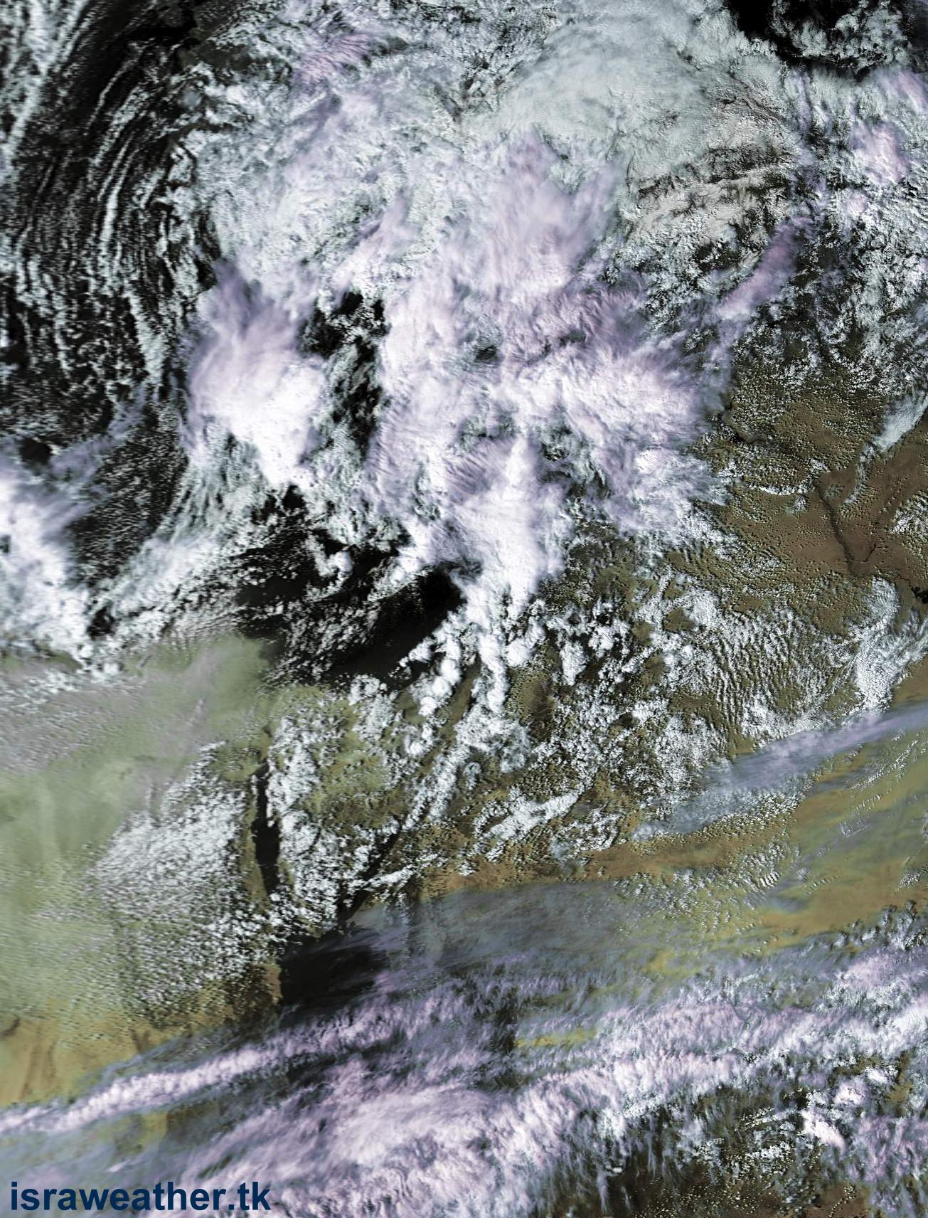
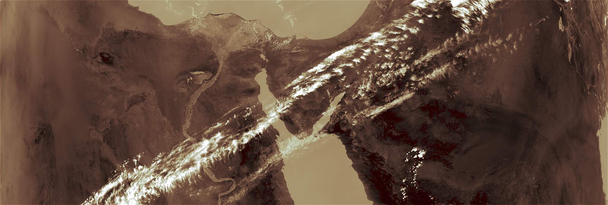
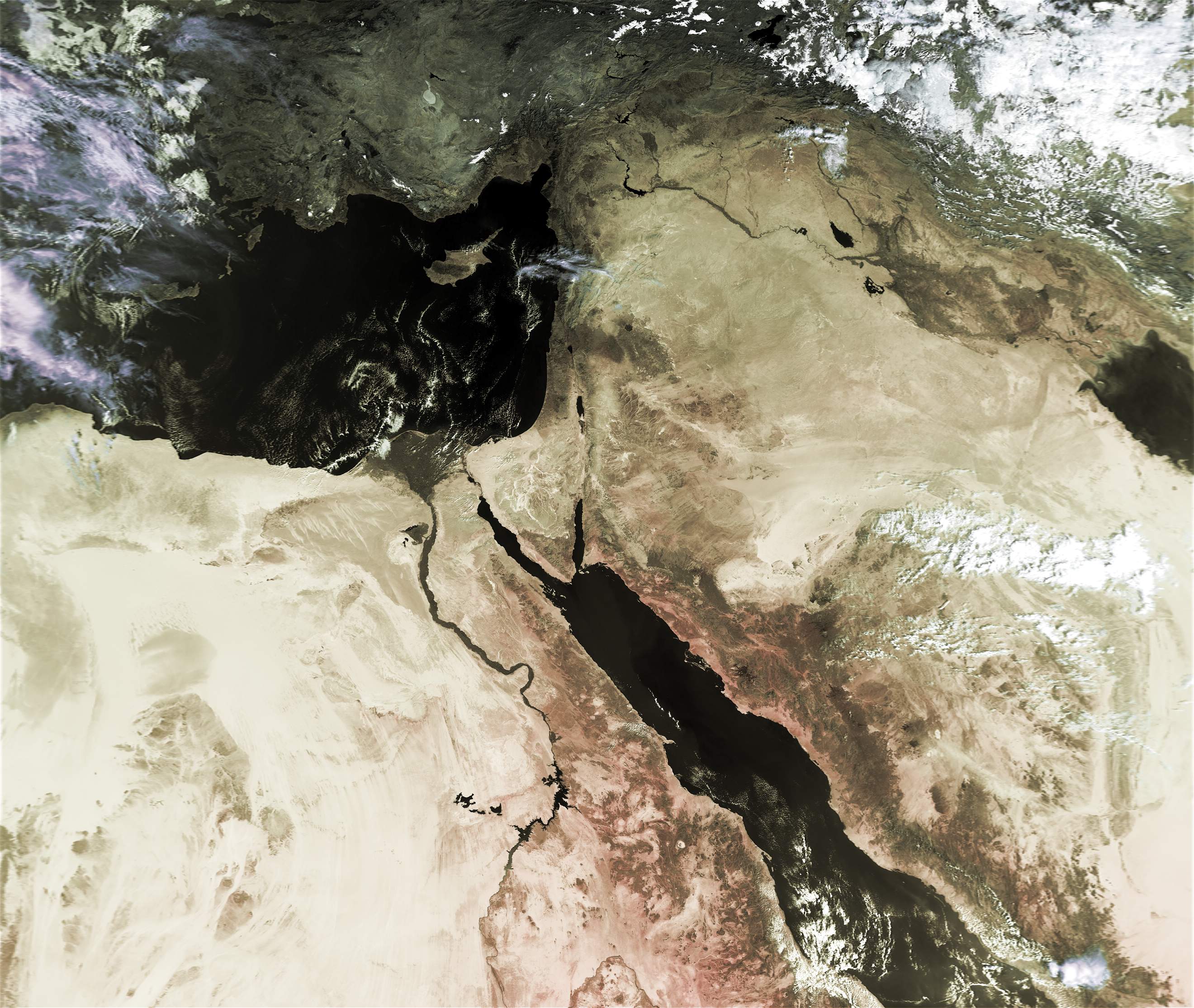
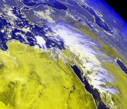
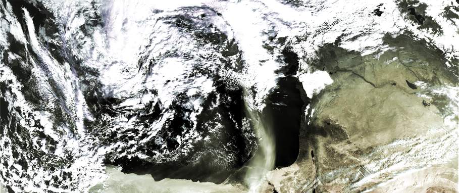
18-19 october 2002: Dust from the Syrian desert covered Israel.
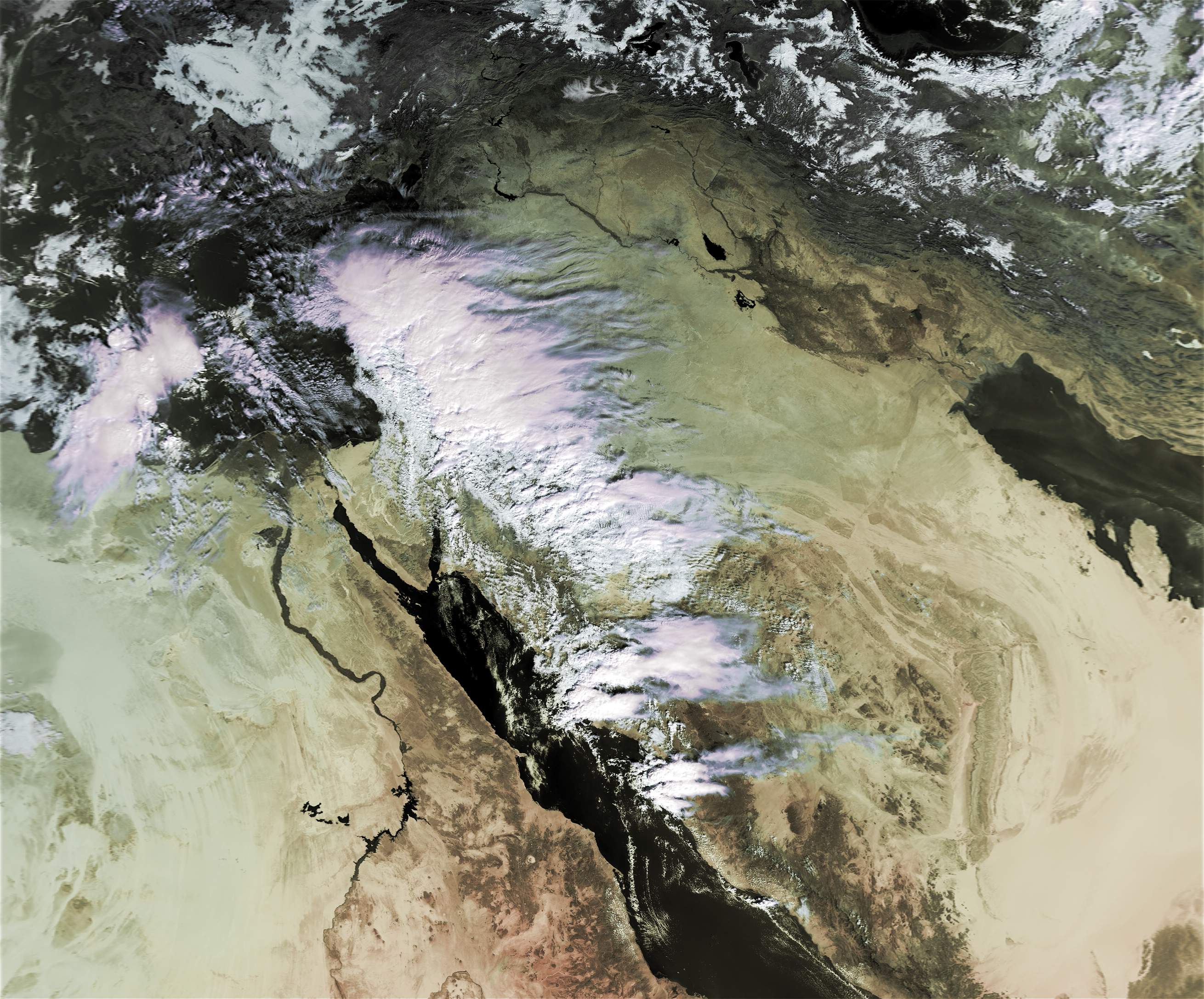
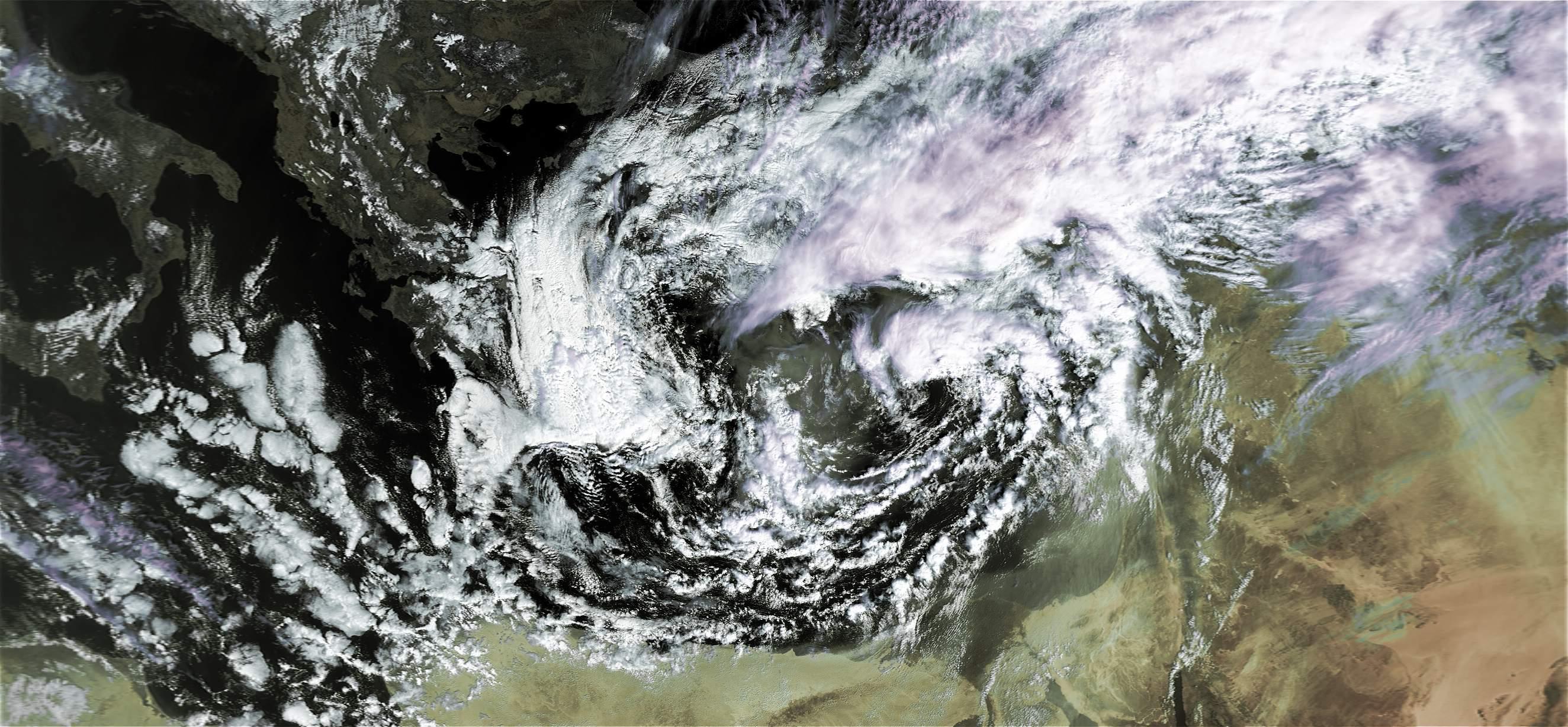
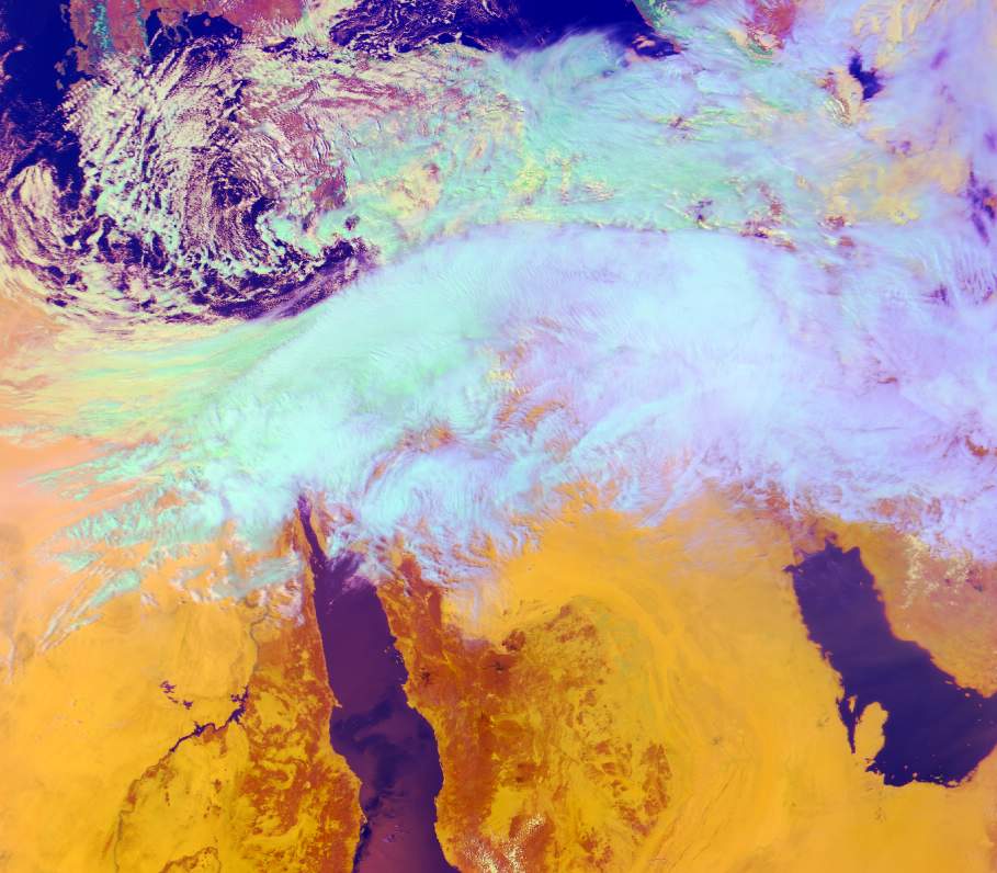
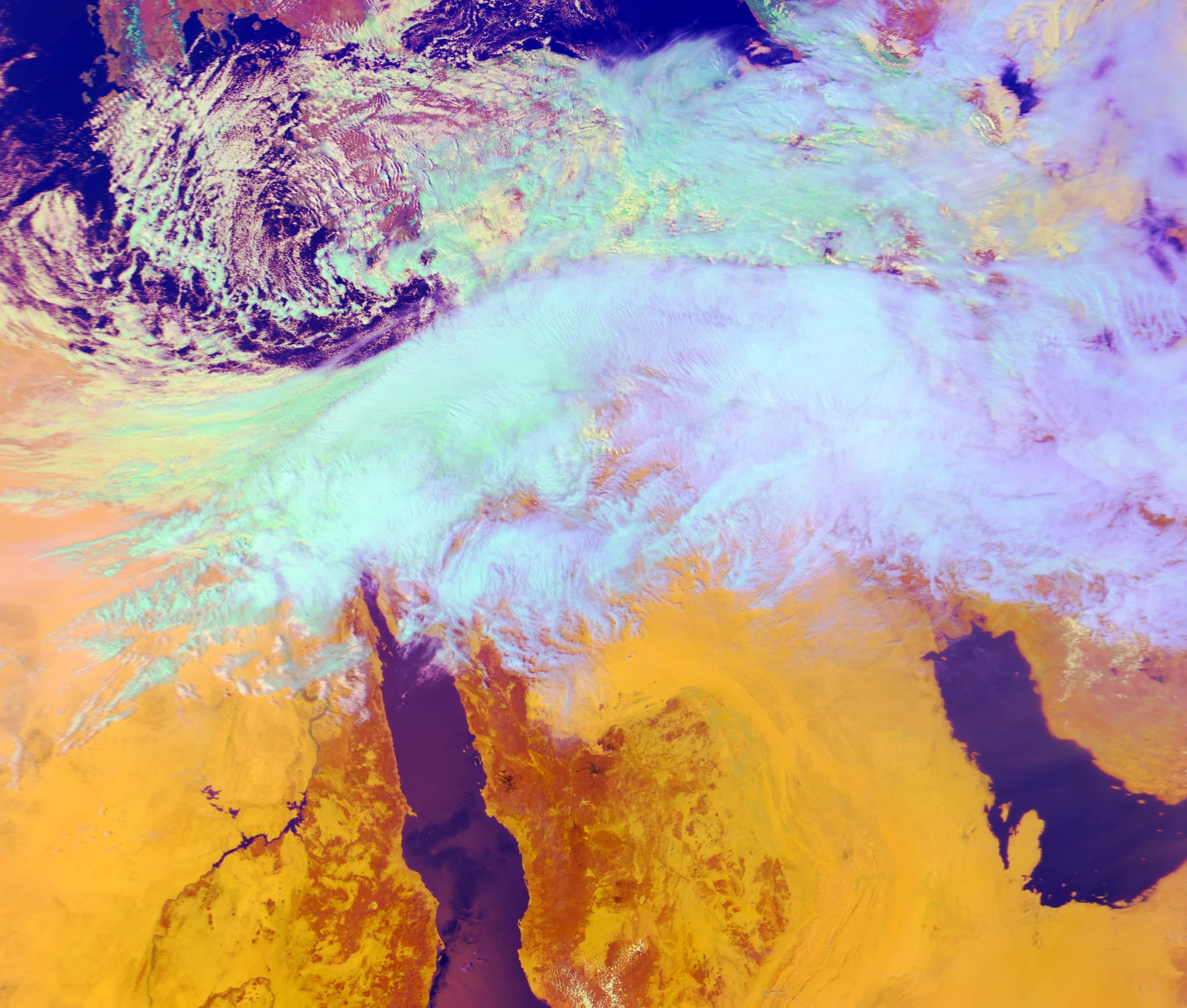
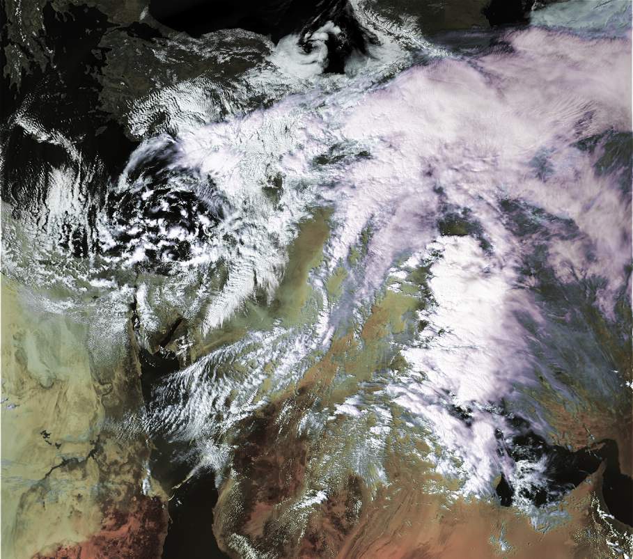
Active Red Sea trough again in our area. High & Mid level clouds developed across israel
28\10\02 11:30 UTC - Noaa- 16 - In the left corner you can see the eruption of mount Etna.
29-10-2002 08:00 UTC - Noaa-17
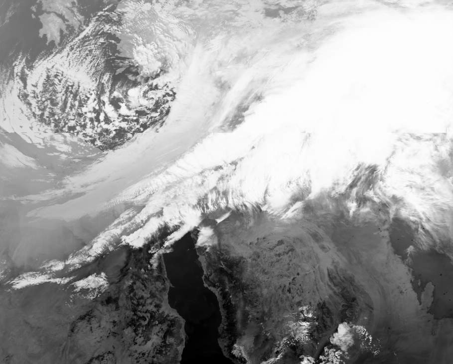
30_10_02_23-40UTC-thermal image
30_10_02_23-40UTC-ch3 full size
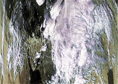
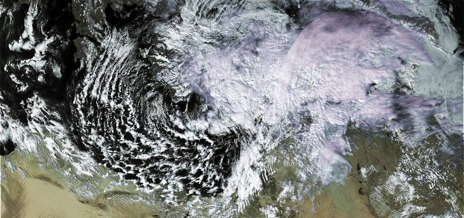
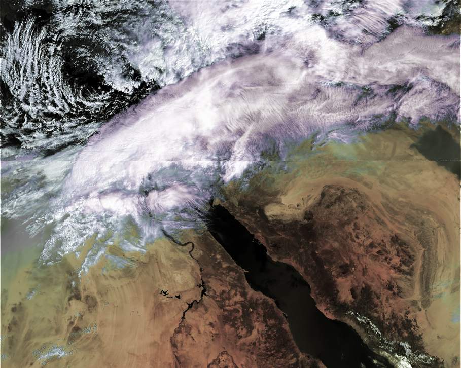
Active Red Sea trough again in our area. High & Mid level clouds developed across israel:
28\10\02 11:30 UTC - Noaa- 16 - In the left corner you can see the eruption of mount Etna.
29-10-2002 08:00 UTC - Noaa-17
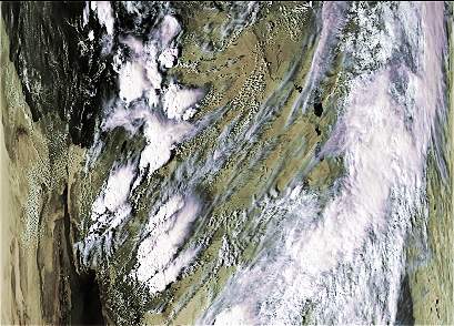
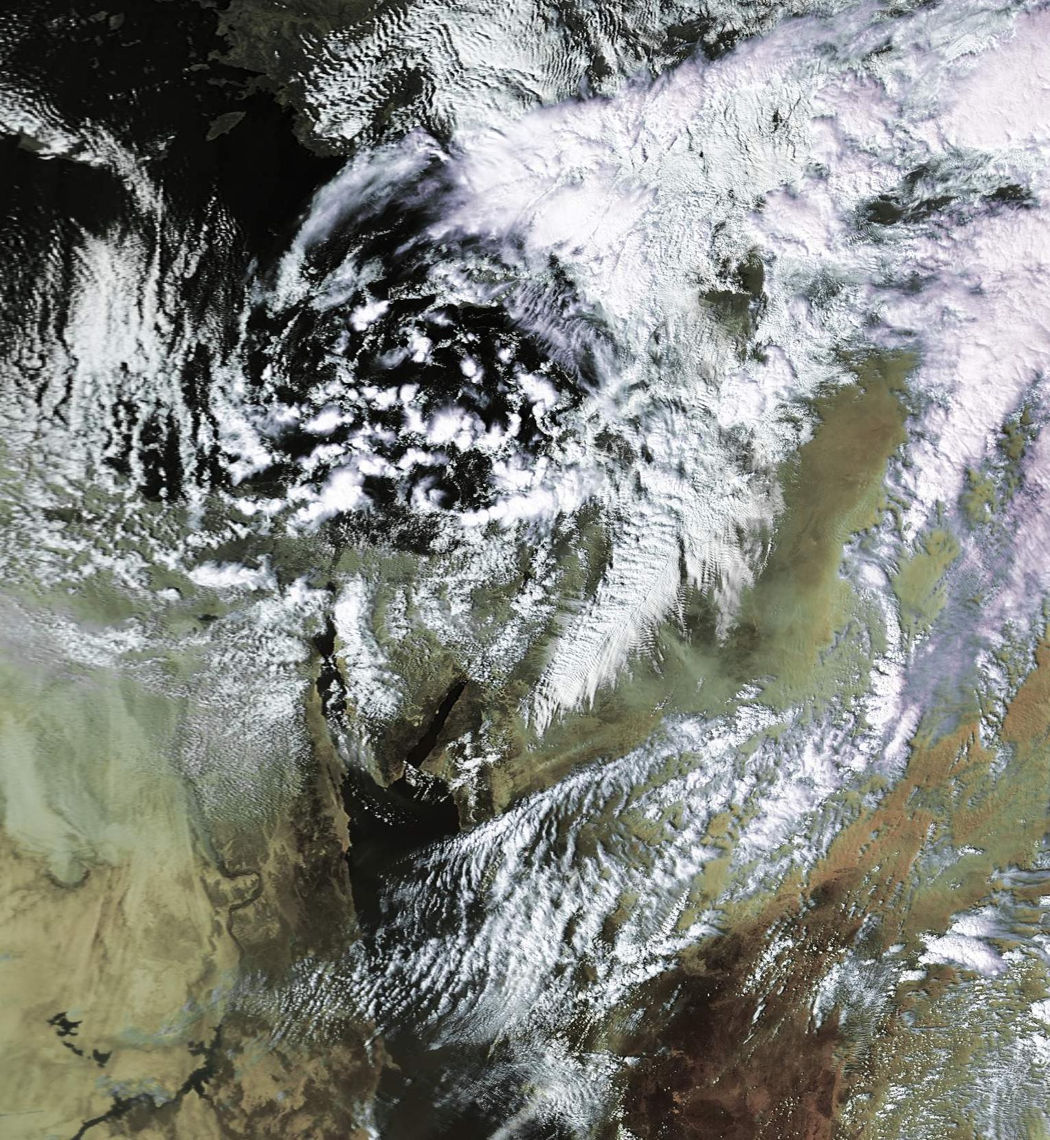
Heavy rains ,thunderstorms, and flooding in southern parts of Israel. (Active Red Sea trough):
30_10_02_23-40UTC-thermal image
30_10_02_23-40UTC-ch3 full size
Nice and stable weather across Israel and the region:
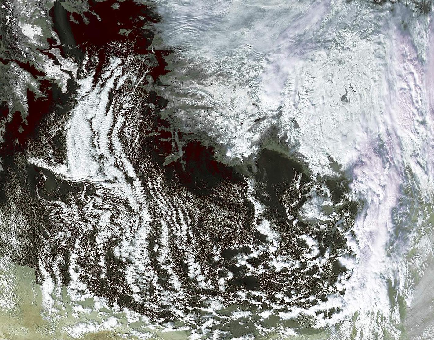
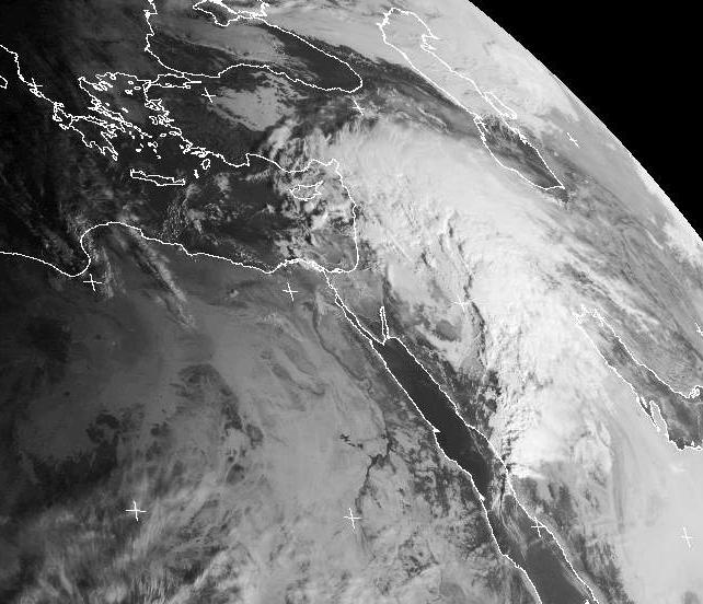
Sub tropical jet stream over Israel. Humidity in the mid and upper layer of the atmosphere brought high clouds straight from the tropics. A deep low pressure system is over Greece, is causing heavy rains and thunderstorms.
7\11\2002 12:00 UTC - Meteosat
7\11\2002 11:30 UTC - Noaa 16 - Mediterranean sea
Weak low pressure brings produces 15-20 mm of rain.
12\11\02 07:50 UTC - Noaa-17 - APT
High pressure system dominating the eastern Mediterranean:
Strong winds (80-90 kph in the north) heavy rains and thunderstorms from high and mid level clouds:
29\11\02 07:50 UTC - Noaa 17 - APT format
30\11\02 07:30 UTC - Noaa 17 - APT format
30\11\02 11:30 UTC - Noaa 16 - APT format
29-30\11\2002 - Meteosat cloud animation.
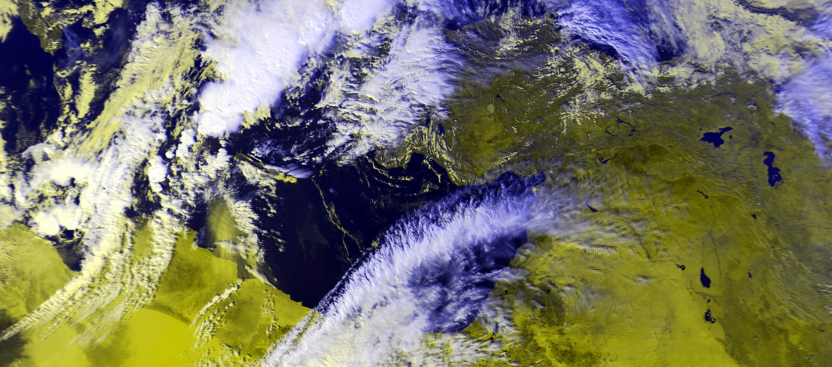
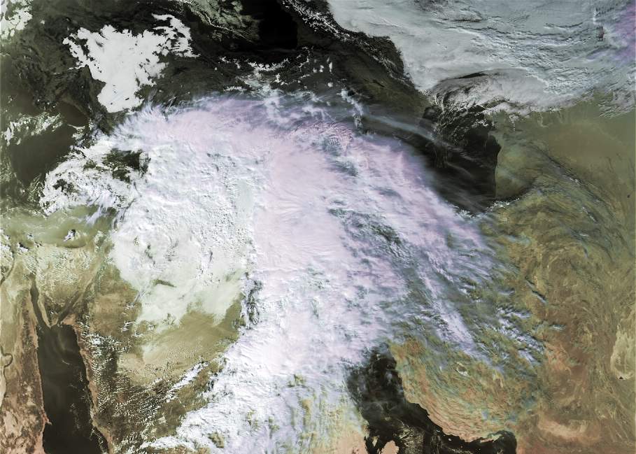
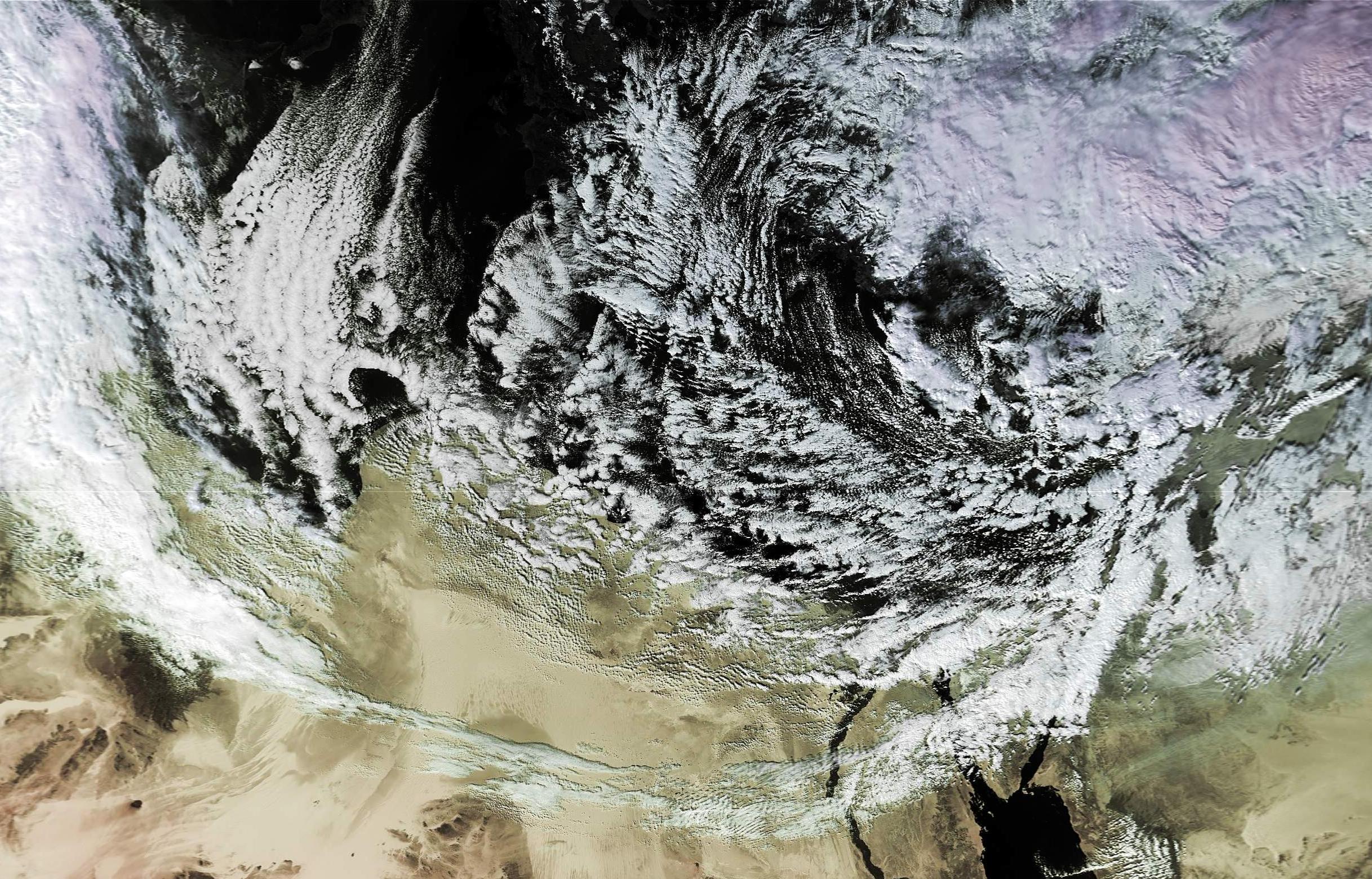
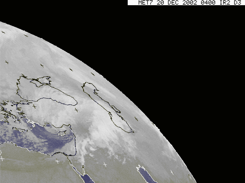
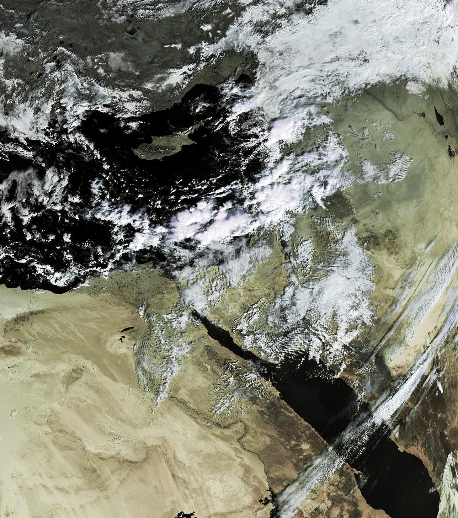
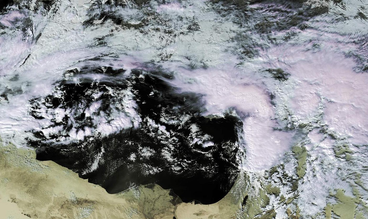
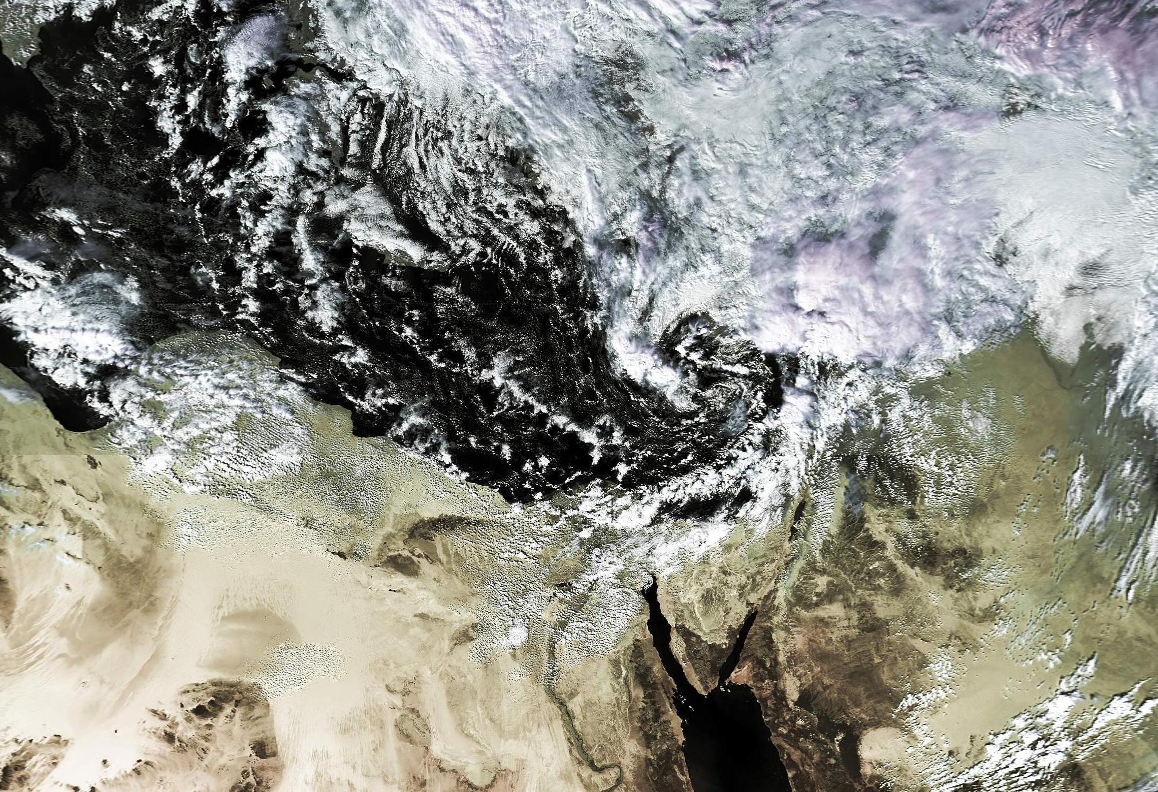
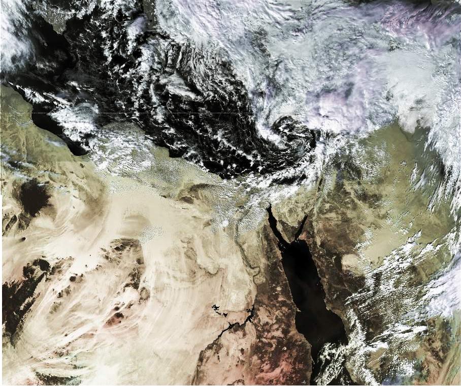
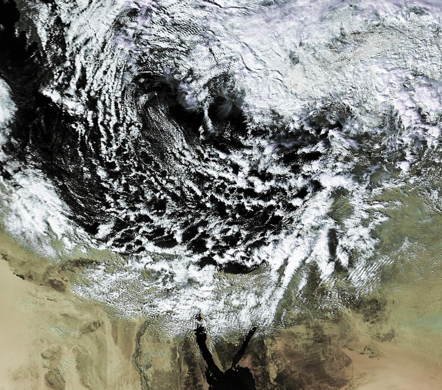
Deep low pressure system (993 millibars) - Heavy rains; 100 kph winds; snow in the north above 850 meters:
20\12\2002 - 08:20 UTC - Noaa-17 - APT (138 kb)
20\12\2002 - 08:20 UTC - Noaa-17 - Full size (large 930 kb)
20\12\2002 - 11:20 UTC - Noaa-16 -APT (115 kb)
20\12\2002 - 11:20 UTC - Noaa-16 - Full size (large 909 kb)
Meteosat animation - Cold front crossing Israel, downpoaring 70-100 millimeters of rain in less than 5 hours. (large file- 1.19 mb)
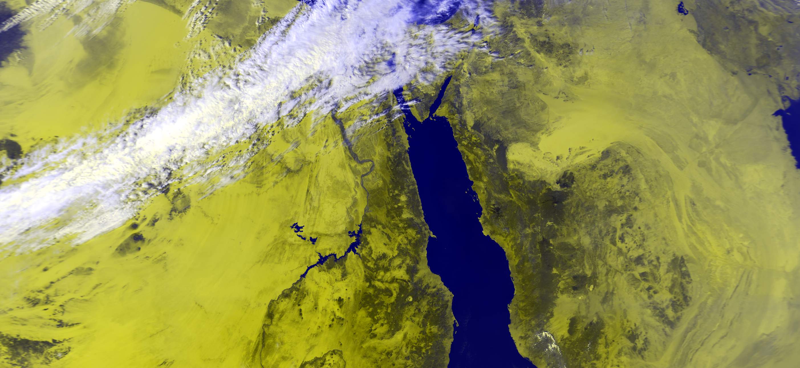
22\12\02 - Satellite image of snow coverage.
29\1\2003 07:30 UTC- heavy rains in the north, over 100 mm in some parts, heavy snow in the hermon
27\1\2003 11:30 UTC- local rain in the north
31\1\2003- snow in the Hermon
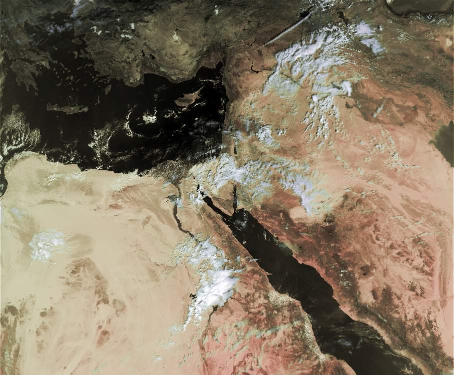
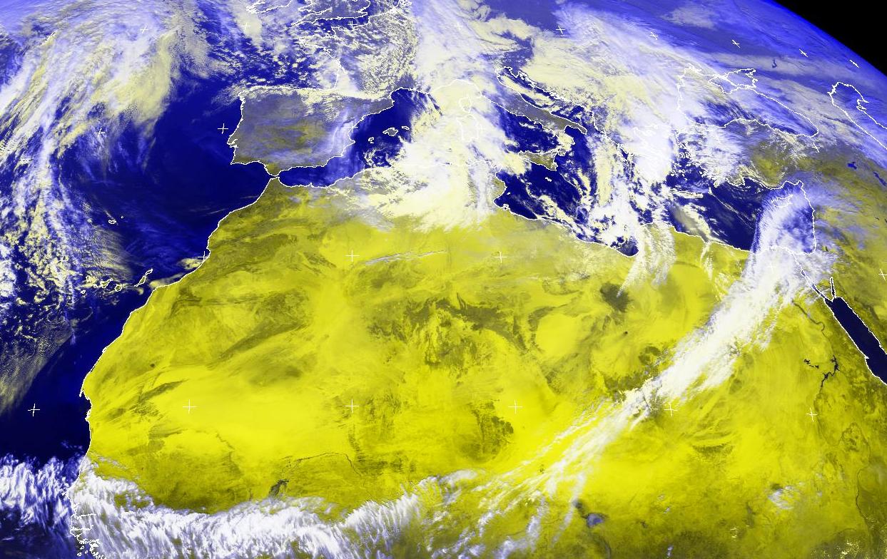
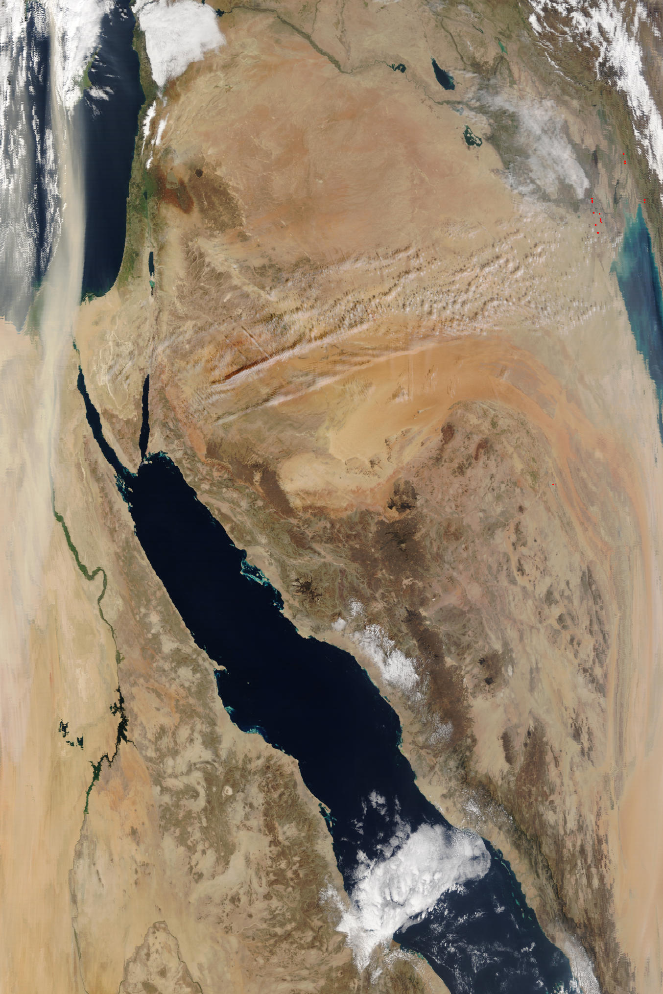
heavy dust storm across Israel:
2\2\2003 08:30UTC- noaa-17 - dust
2\2\2003 08:30UTC- noaa-17 - dust - APT format
7\2\2003 11:00UTC noaa-16 APT format
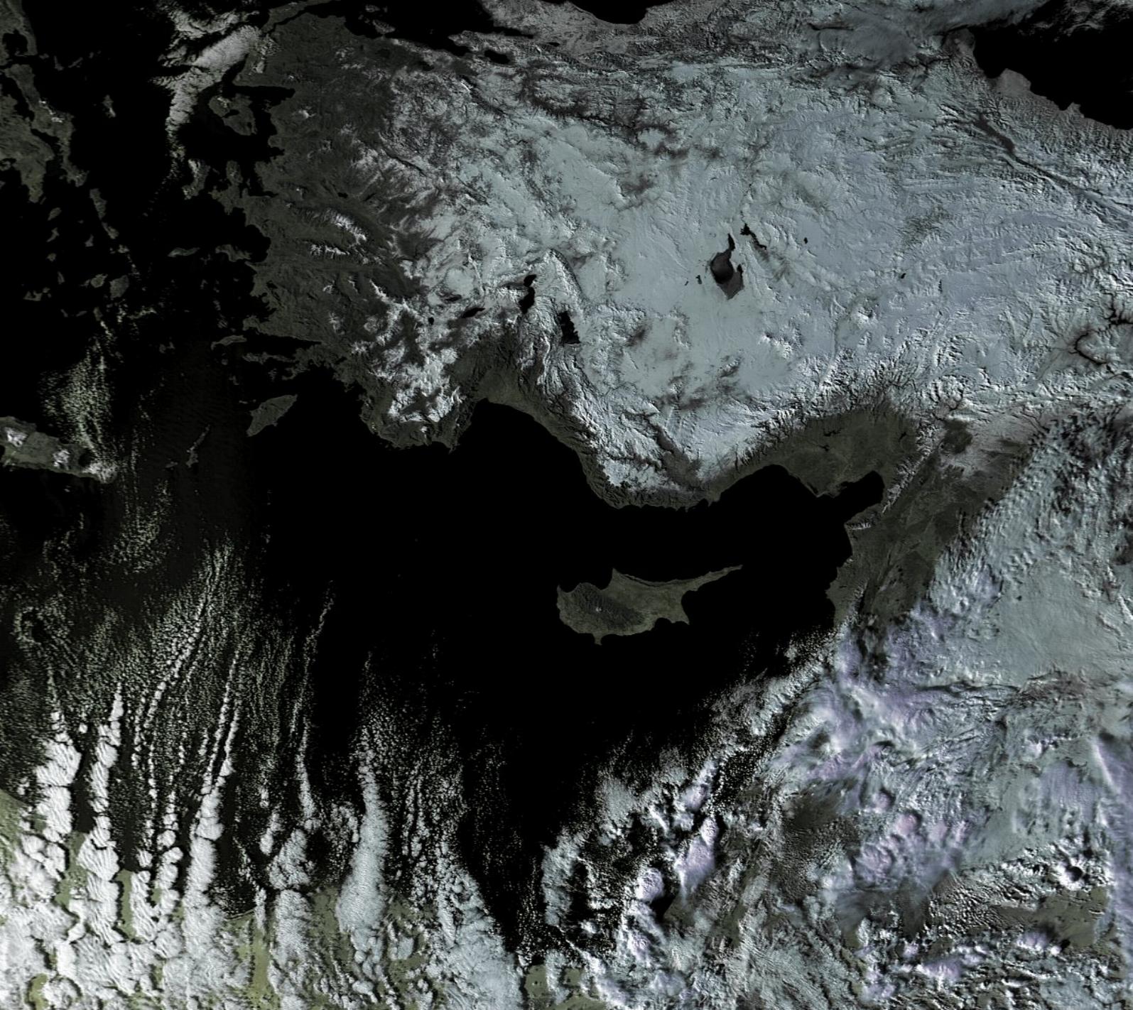
11\2\2003 11:55 UTC noaa-16: Jet stream
12\2\22003 11:50 UTC noaa-16 APT format deep low pressure system in the Mediterranean sea
13\2\2003 11:30 UTC noaa 16- low pressure system
13\2\2003 11:30 UTC noaa 16- low pressure system APT format
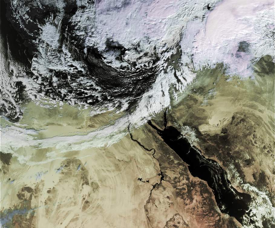
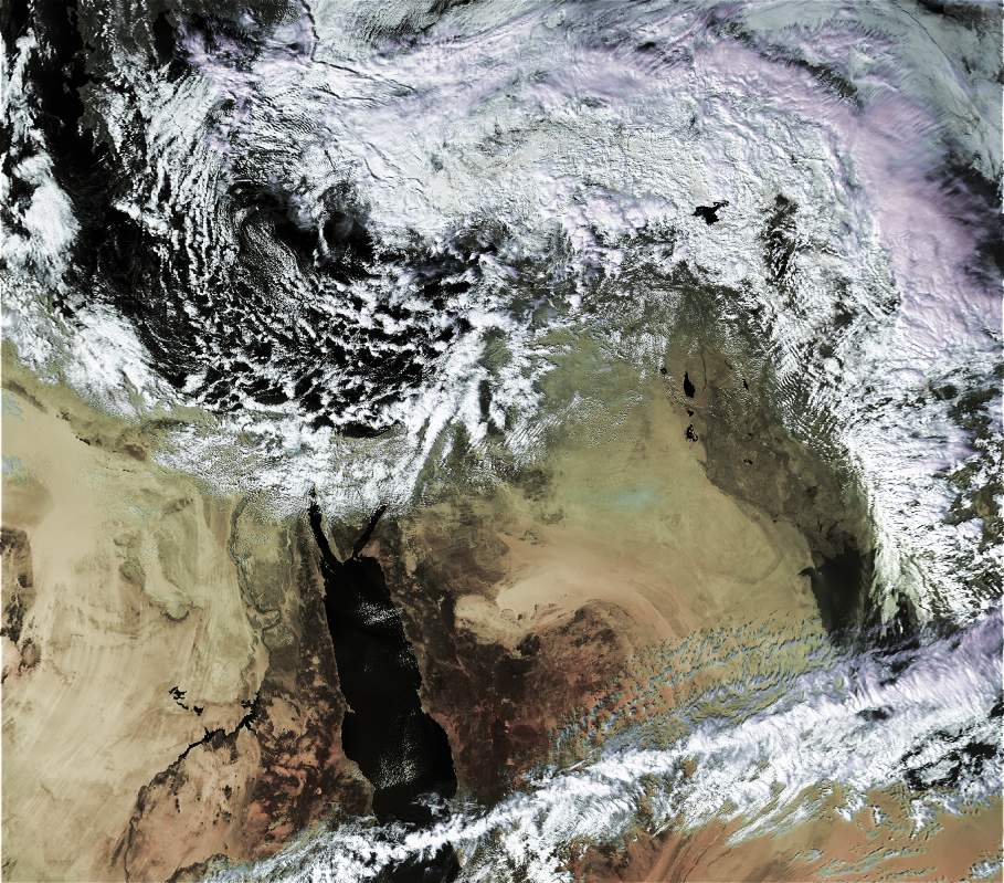
deep low pressure, heavy rains, strong winds, heavy snow in mountains above 500 meters:
24\2\03 11:20 UTC noaa-16 apt format
25-2-03 11:20 UTC noaa-16 APT format
1-3-03 11:00 UTC snow coverage
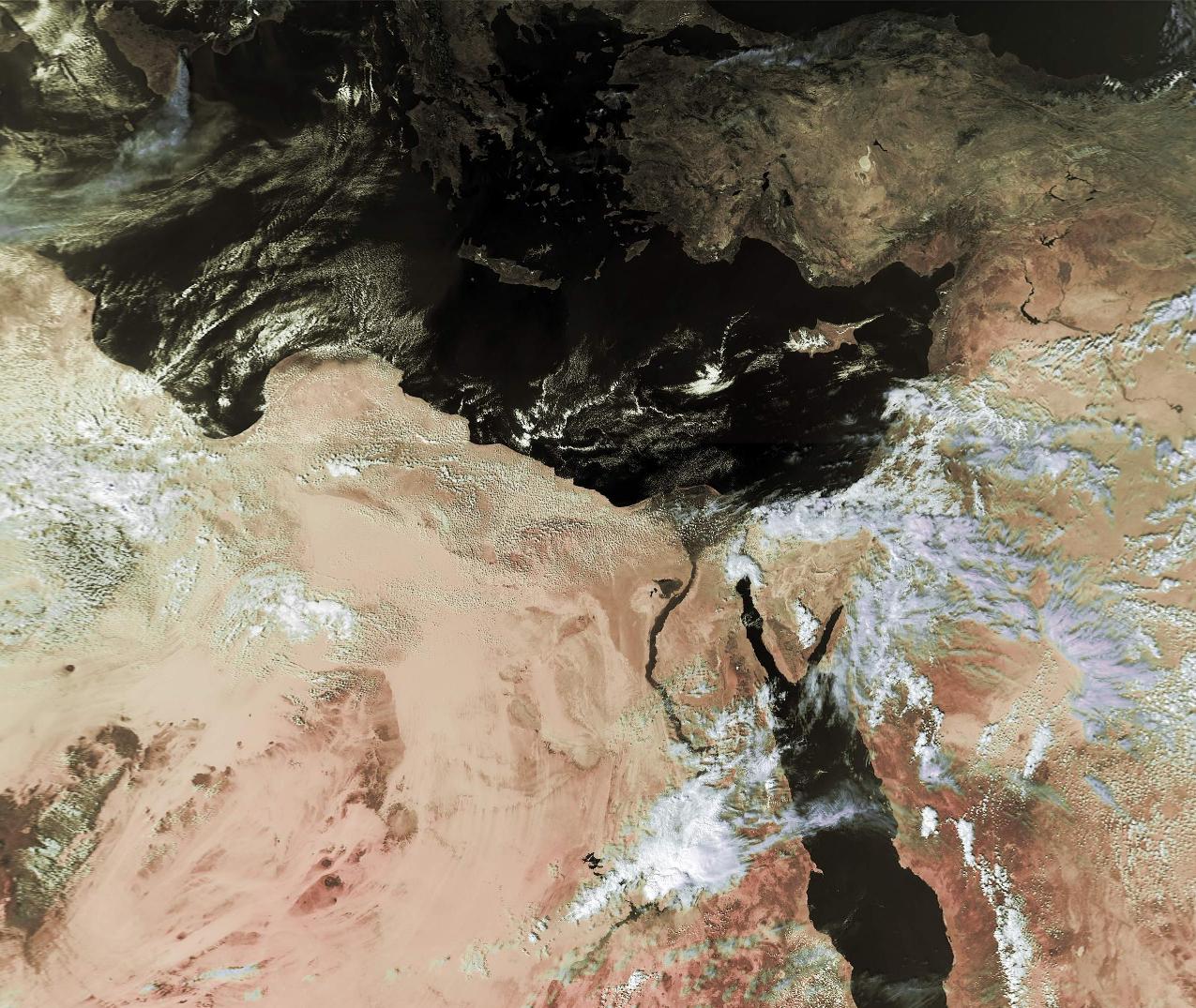
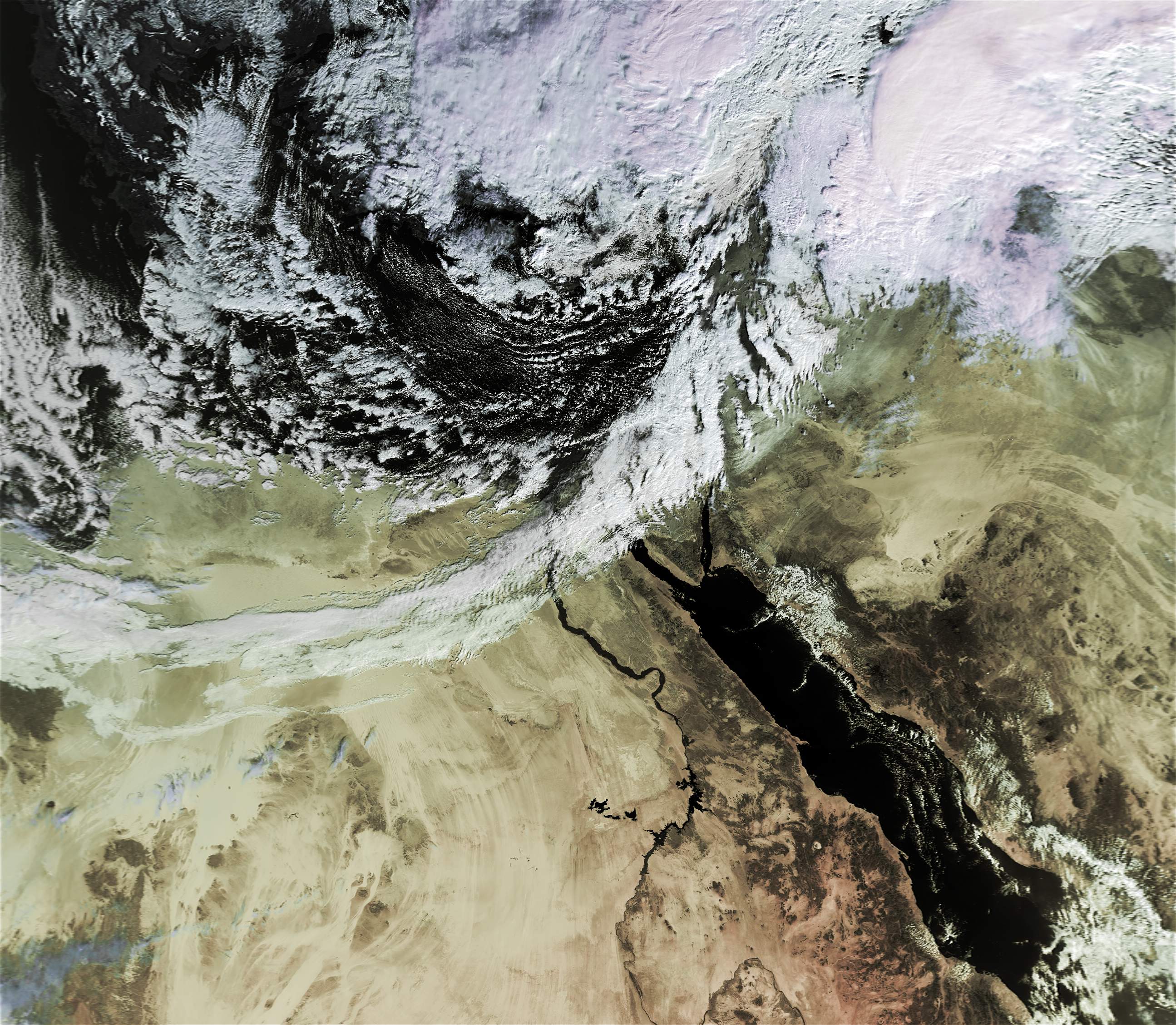
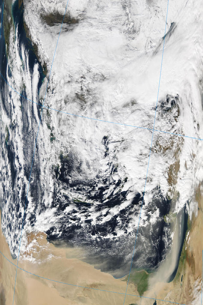
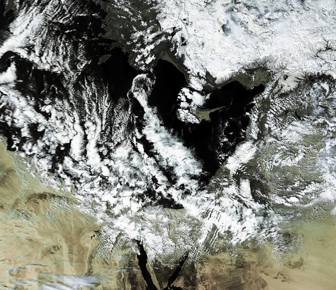
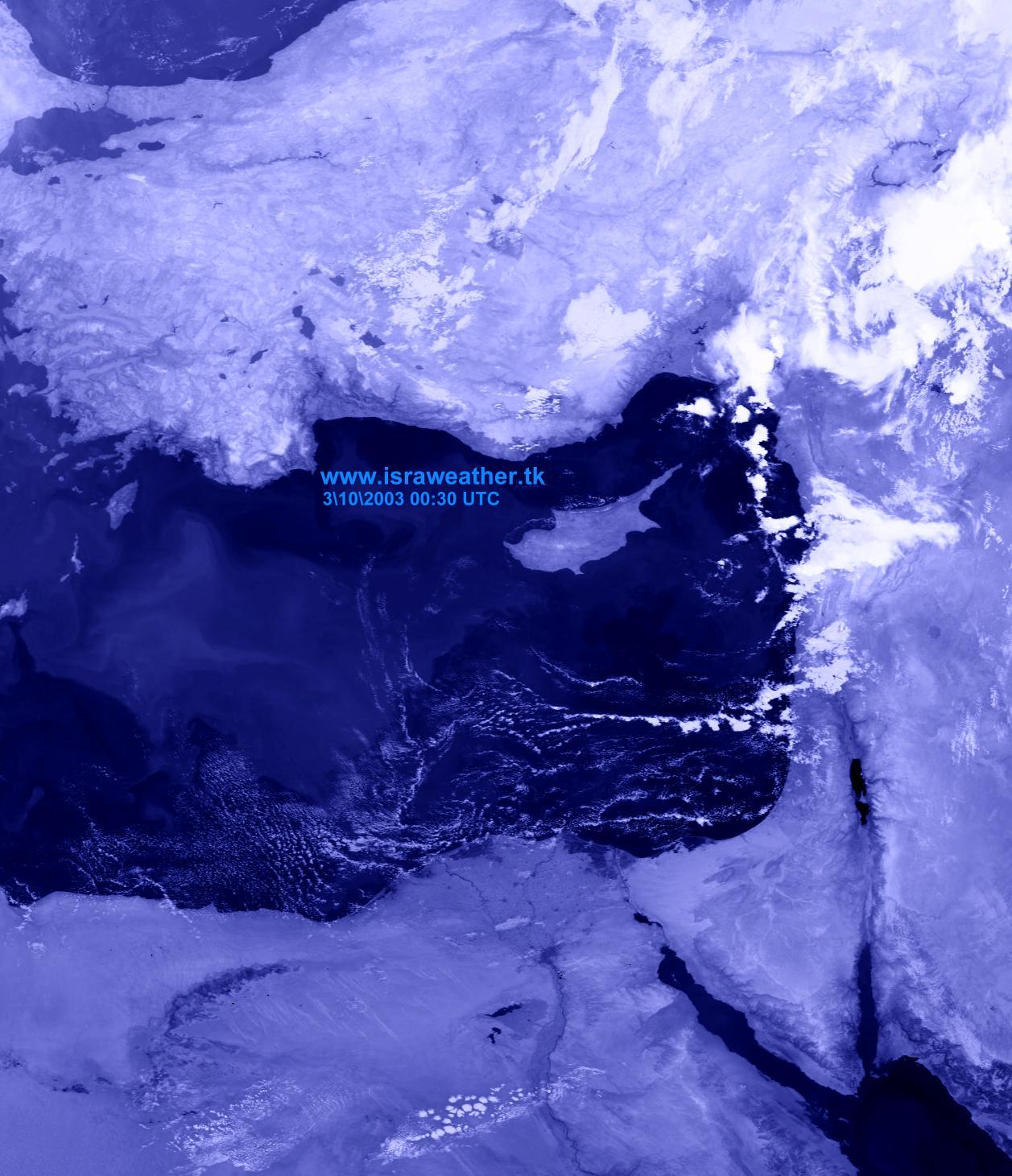
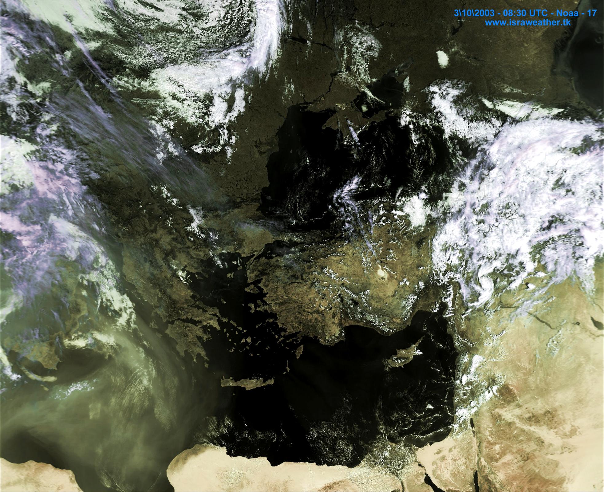
Another deep low pressure system, which brings heavy rains. the deep pressure system caused a dust storm across Israel:
18\3\2003 08:30 UTC Noaa-17 APT format
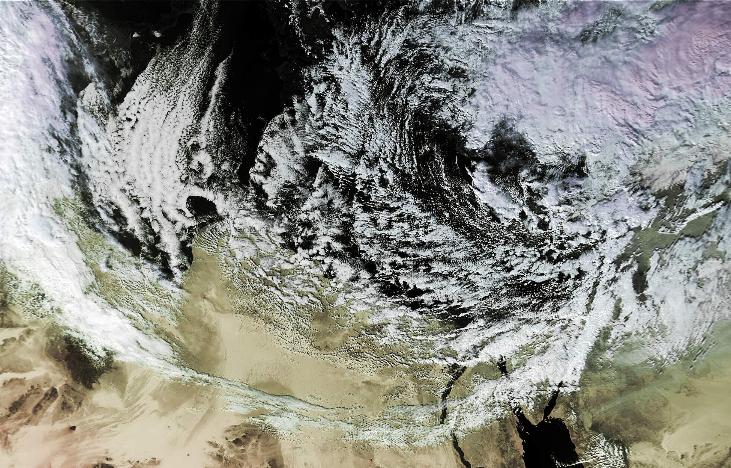
A low pressure system develops in the eastern Mediterranean. Sub tropical and polar jet stream over Israel:
24\3\2003 11:20 UTC Noaa-16 APT format
24\3\2003 07:30 UTC Noaa-17 APT format
25\3\03 11:00 UTC Noaa-16 APT format
First rain of the winter season:
Related links:
David Shohami's - Israel's leading Storm chaser website.
Records in Israel - Boaz weather forecasting website - (Direct link)
