Low lands near YMCA camp: Terry

Tarps getting wrapped in debris and buried.

Low lands near YMCA camp: Terry (Right off the Preston - Fall City Rd.)

Damage at camp Terry

Blue Herron at the Fall City campground road

Fall City campground road, Road was full of large nightcrawlers.

Corner of Twin Rivers Golf Course

Fall City Park; Water ripped an exit port out of the tough rock(little stream)

Baseball anyone?

Ought to put a couple of life gaurds on Duty.

A Picture of the Fall City Riders field(Blue barrels are all scattered.)

This field was just as full of water, It drains better.

Now its trickling a little faster(thanks to my hammer)

Now its trickling a little faster(thanks to my hammer)

View down Neal Road

Field across from the Park, Notice the dirtline on the bushes.

This tractor was to heavy to float away

Fall City farm's pumpkin patch(all gone)

The water was over this little bridge

Nice ceder fence knocked down. Oldly placed 'Honey Bucket' bathroom in background.

Free Lounge Chair.

to my great surprise, The classic jumping logs are still intact.(the water completely submerged these trees)

The year long resident of fall city didn't have time to pack all of his belongings before the flood water came

The sign says it all. This golf course was almost completey submerged.

Sno Falls golf course. Employees on the road flooded their car in the water.

That blue dot(I blew it up a little. Top left) Is a 'Honey Bucket' bathroom on its side in its new location thanks to the River.

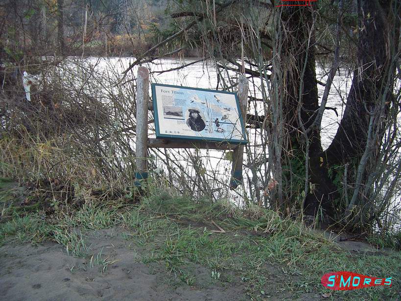
the Fort Tilton was broken and mangled by the river this Flood season.

OK FORT TILTON

Fort Tilton

The red lines are the water level(near fort tilton)

A Tree Farm that was covered in water

The water was above the top of my car in this picture (the water was above the bottom of the sign monday night.)

This is a log that got wedged up in to the dirt and on the bank. This is a good example of how strong the current is.

Same as above

The log jam is usually where this one log lies.

This tree is marred with marks from logs banging in to it when the water was at this level.

You can see how the log jammed its way up the bank. And created the log pile here.

This is the hole in front of Tokul creek where it meets up with the Snoqualmie River

The orange on the tree was the water level.

There used to be a yellow sign on this tree.

This is the log jam fully.

You are probley wondering why he took a picture of the sidewalk, Its because water was surpting up here

The force from the water is so enormous the old pipes under the ground that travel to the power plant

Are not able to contain the water. and thus it is escaping at the easiest exit

Beautiful Snoqualmie Falls.

Beautiful Snoqualmie Falls.

Beautiful Snoqualmie Falls.

Observation Deck

Thank You for viewing my Images