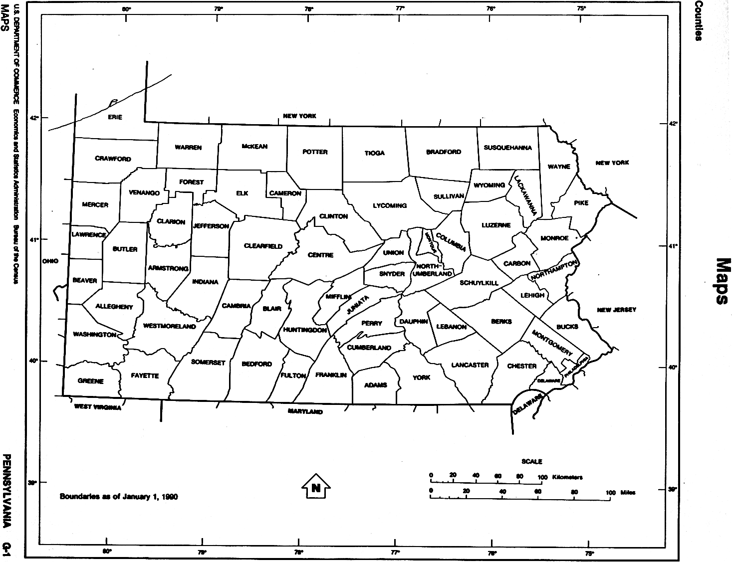
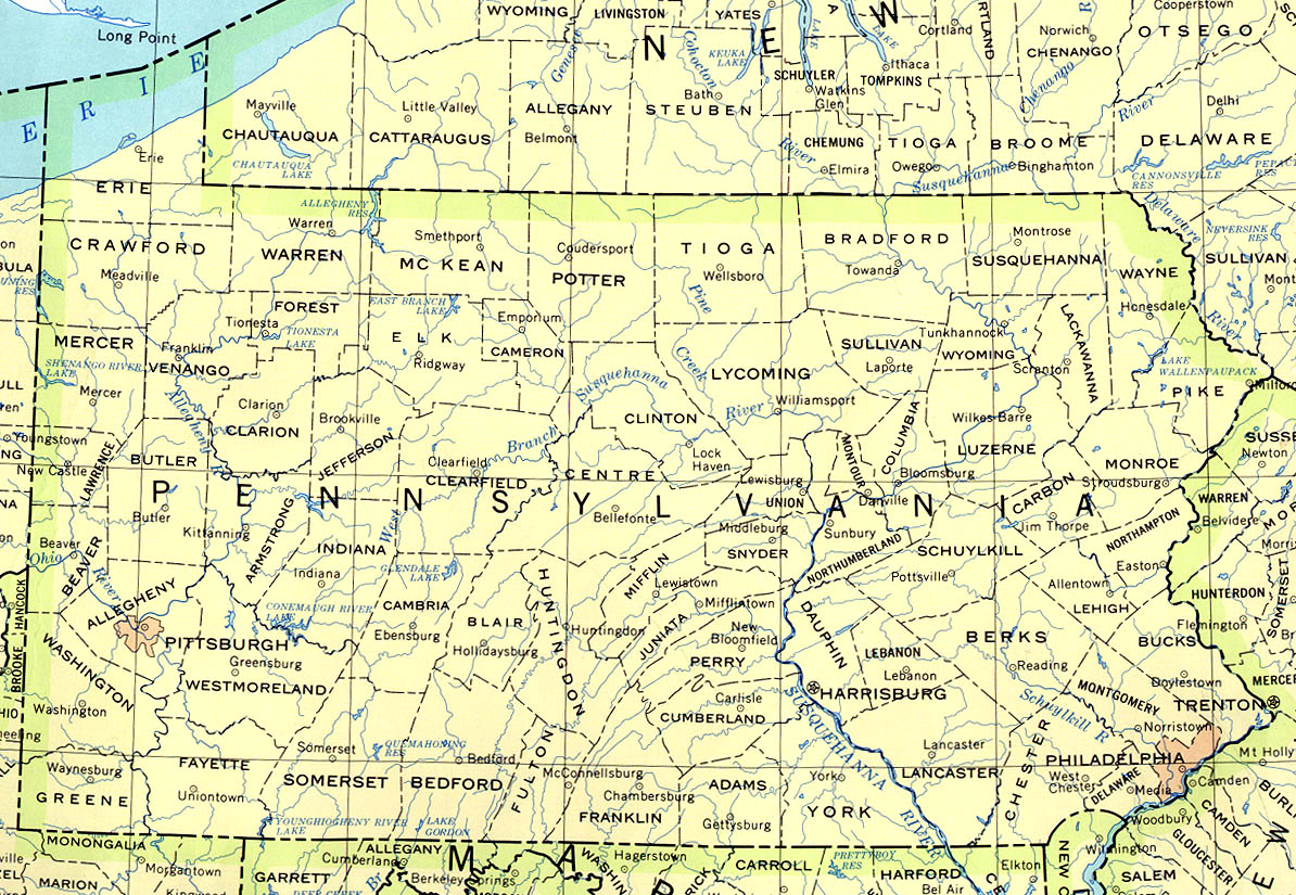
1836 PA Map - with profile of the Pennsylvania Canal Acid Rain in PA - map Digital Map Store - PA Topo Maps - PA Lake Maps - PA Maps for Macintosh - PA Road Maps Explore PA - Map Gallery - 5 different maps Geologic Maps of Pennsylvania - PA Geological Survey - Pa. DCNR Geologic Maps of Pennsylvania Counties - from PSU Historical Maps of Pennsylvania - by Harold Cramer Landforms of Pennsylvania - physiographic provinces of PA PA Internet Mapping Applications - from Pagic and PASDA PA in 1895: Political Map - historic map (large file) PA Atlas - from (PASDA) Pennsylvania Spatial Data Access PA County Map (physical) - from Color Landform Atlas PA County Map (political) - from CapitolImpact.com PA County Map (outline) - from PCL collection PA Digital Map Library - access dozens of historical maps PA Earthquake Map - 1977-1996 from USGS PA Quadrangle Finder - from PASDA PA Relief Map (greyscale) - from Color Landform Atlas PA Map - printable map from NystromNet PA Map - from PCL collection PA Map Collection - from PCL (more than 4 dozen maps) PA Map Maker - Create your own PA special-purpose map PA Map/Quiz Printout - 10 question quiz from EnchantedLearning.com PA Maps (1847-1929) - from American Memory PA Railroad Maps (1800's) - from American Memory PA Road Map - from World Sites Atlas PA Roadmap and Mileage Table - quiz activity from Harcourt School Publishers PA Satellite Image Map - from Color Landform Atlas PA Shaded Relief Map - from Color Landform Atlas PA State Highway Map - major roads PA Topographic Maps - to download or order Rails to Trails - PA Rail Trail Maps Topographic Map Collection for Tioga County - from wellsboroweb View of Harrisburg, PA - panoramic view from north. Year unknown
ALLEGHENY OUTDOORS PAGE
CONTACT US!

