

INTERSECTION GUIDE
|
|
||
|
State Highway, Street name or Exit Destination Township Lines |
Other Features |
|
|
SOUTH - Scroll Down |
NORTH
- Scroll Up |
|
| GALENA STREET | TOLEDO CORRECTIONAL INSTITUTION | |
 SOUTH
SOUTHCleveland |
Detroit Cleveland |
|
|
|
||
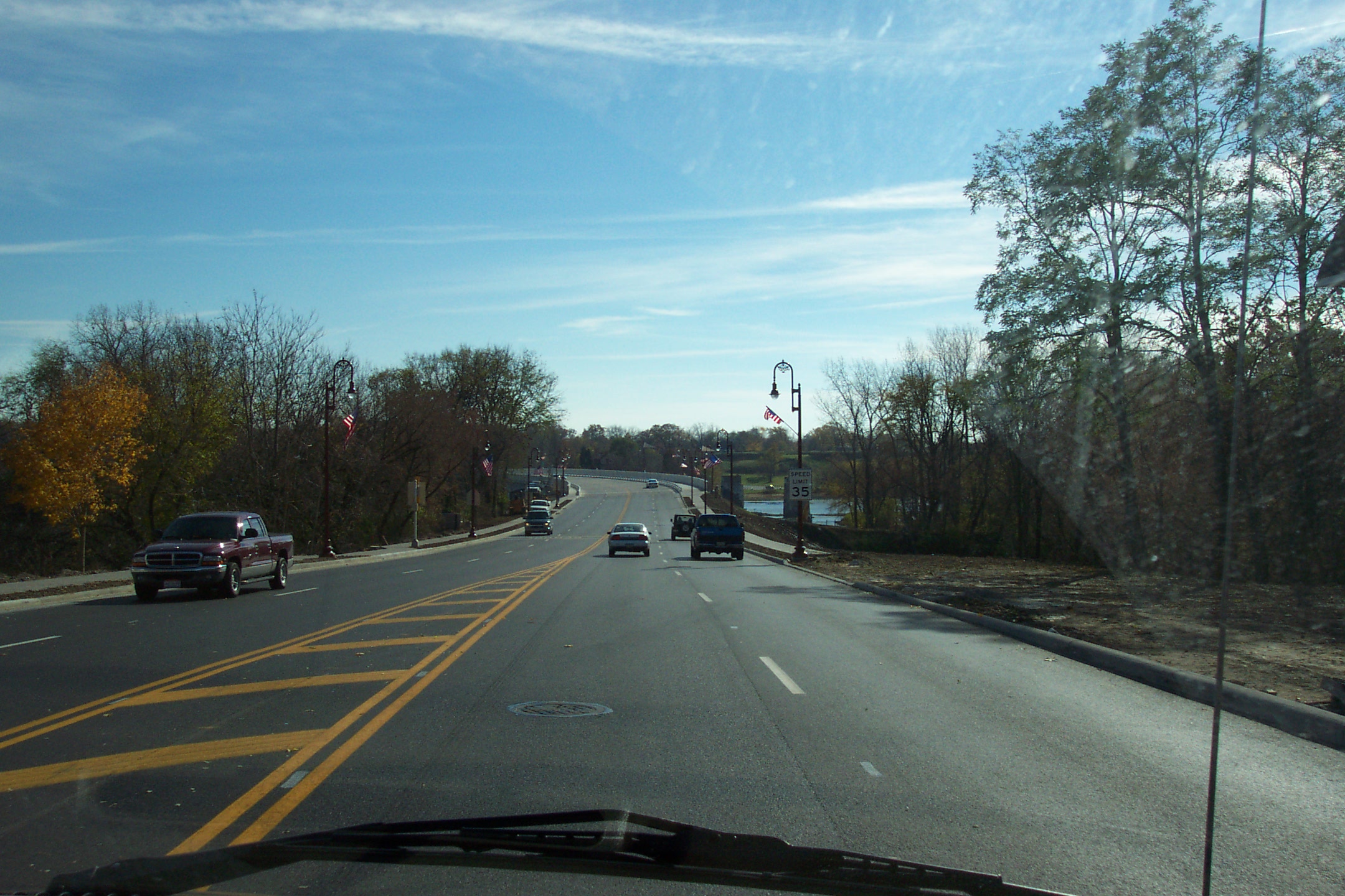
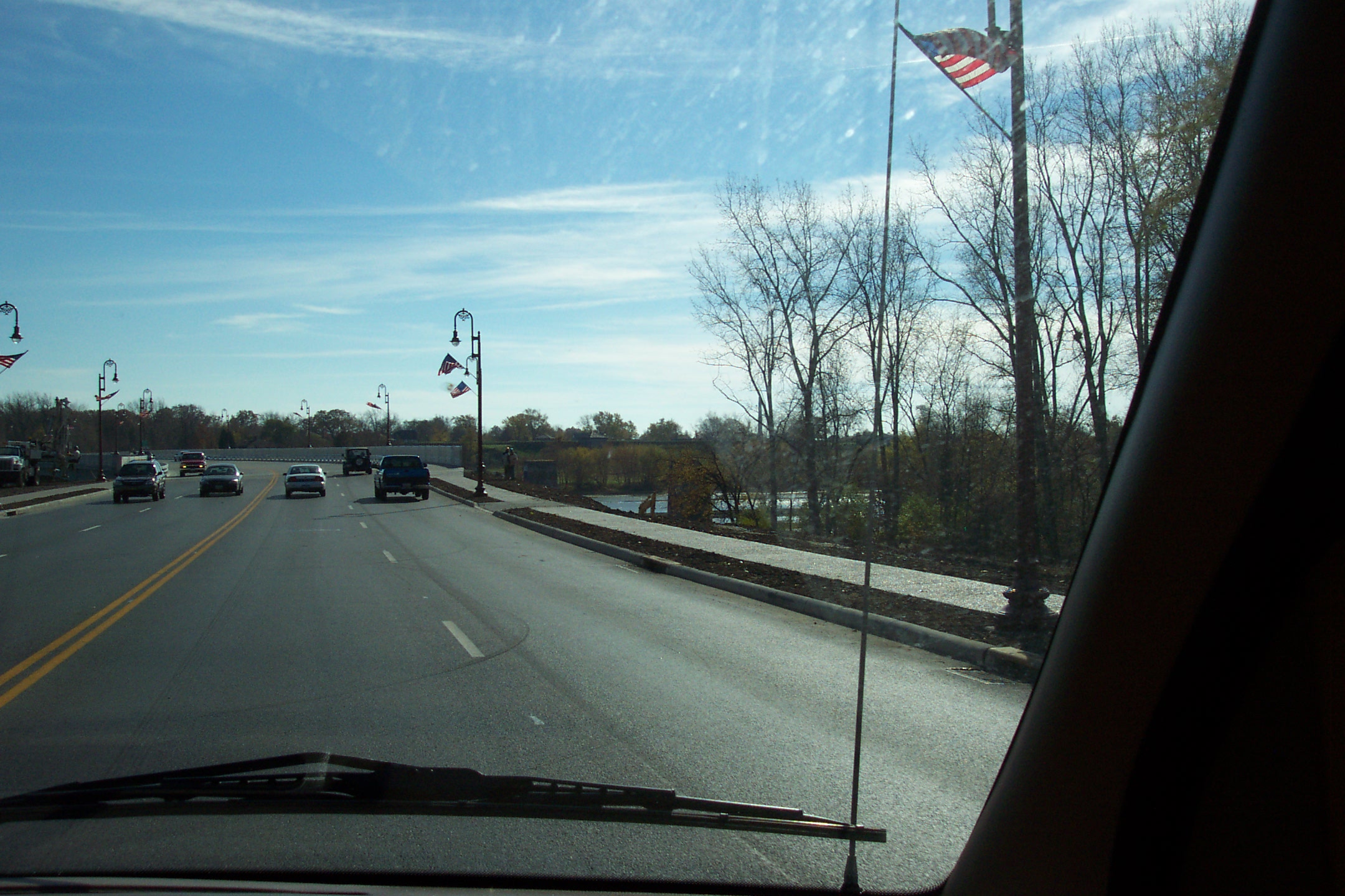
Greenbelt Parkway to receive landscaping, shrubery, canopy trees, and irrigation system this year. |
||
| BUSH STREET | LIBBEY GLASS FACTORY | |
| LAGRANGE STREET | ||
 CHERRY STREET |
||
Note: At Cherry Street, OH-25 splits to run through Downtown Toledo. Each route will be shown separately until they merge back into other.
 SOUTH
SOUTH
SPIELBUSCH AVENUE
|
SOUTHBOUND SPIELBUSCH IS
SOUTH |
|
|
CONSTITUTION AVENUE SOUTHARD AVENUE |
|
|
JACKSON STREET CANTON STREET |
|
|
END SPIELBUSCH AVENUE BEGIN MICHIGAN STREET ONE WAY SOUTHBOUND |
|
| ADAMS STREET | LUCAS COUNTY COURTHOUSE |
| MAIN LIBRARY | |
| COSI SCIENCE CENTER | |
| MADISON AVENUE | |
| JEFFERSON AVENUE | |

MONROE STREET |
SEAGATE CONVENTION CENTRE |
| WASHINGTON STREET | FIFTH-THIRD FIELD |
|
LAFAYETTE STREET AVONDALE AVENUE |
|
|
END MICHIGAN STREET BEGIN ANTHONY WAYNE TRAIL (LIMITED-ACCESS HIGHWAY) |
|
 SOUTH
SOUTHDayton |
|
NORTH
| COLLINGWOOD AVENUE |
TO
SOUTH Dayton |
|
NORTH Detroit |
|
| ERIE STREET |
NORTH CHANGE IN DIRECTION |
| END ANTHONY WAYNE TRAIL (LIMITED-ACCESS HIGHWAY) | |
| WASHINGTON STREET | FIFTH-THIRD FIELD |
|
MONROE STREET |
SEAGATE CONVENTION CENTRE |
| JEFFERSON AVENUE | |
| MADISON STREET | |
| ADAMS STREET | LUCAS COUNTY COURTHOUSE |
| MAIN LIBRARY | |
| COSI SCIENCE CENTER | |
| JACKSON STREET | |
| BEECH STREET | |
| ORANGE STREET | |
|
CHERRY STREET |
NORTH CHANGE IN DIRECTION |
|
|
|
|
|
|
| MICHIGAN STREET | |
|
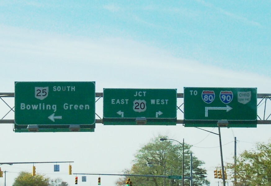
SPIELBUSCH AVENUE GREENBELT PARKWAY END ROUTE SPLIT
|
SOUTH LEFT TURN |
|
NORTH RIGHT TURN |
|
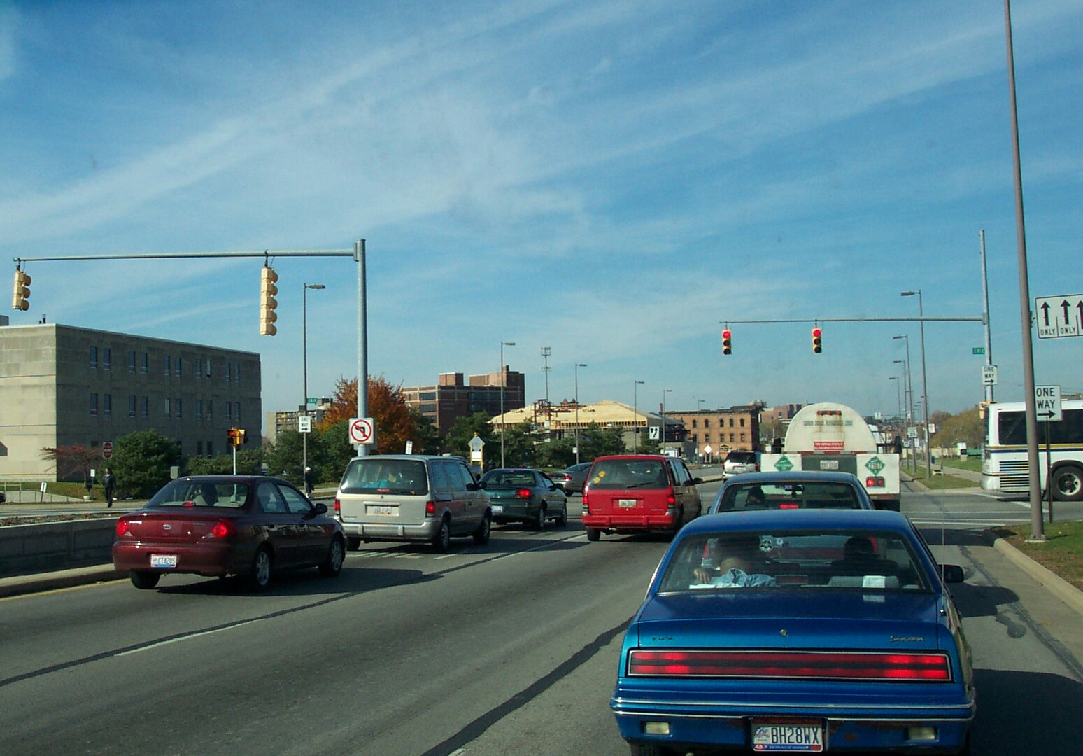
ANTHONY WAYNE TRAIL
TOLEDO Anthony Wayne Trail Laws: (TMC 331.30)
1. The Anthony Wayne Trail is hereby declared to be a "limited-access highway".
2. No person shall drive or operate upon the A.W. Trail or any part thereof any vehicle which is designated in Section 303.06(b). The provisions of this section shall not apply to vehicles crossing the A.W. Trail at regular designated crossings thereof.
3. No driver or operator of a vehicle shall stand or park the same on the A.W. Trail except in the case of emergency repairs and in such event only for so long as shall be necessary to make emergency repairs to such vehicle.
4. No curb cuts, ingress, or egress
shall be allowed at any point along the A.W. Trail and only the following points
are hereby designated as public points of entry and exit:
(1952 Code §21-11-20; Ord. 142-73)
|
CITY PARK AVENUE EMERALD AVENUE |
||
 WESTERN AVENUE |
TOLEDO EXPRESS AIRPORT | |
| SOUTH AVENUE | RED LIGHT CAMERA | |
|
Now, you've endured the trip through Downtown when you find yourself in the wide-open, freshly repaved Anthony Wayne Trail. You're approaching South Avenue when suddenly the light goes yellow. Do you gun it? Not if this structure is staring you in the face. Let me introduce you to one of Toledo's 15 red-light cameras. This one is pointing at South Avenue traffic, but there is a like one on the Trail. Read more about our red-light cameras here. |
||
| TOLEDO ZOO |
|
|
|
HARVARD BOULEVARD WOODSDALE AVENUE |
||
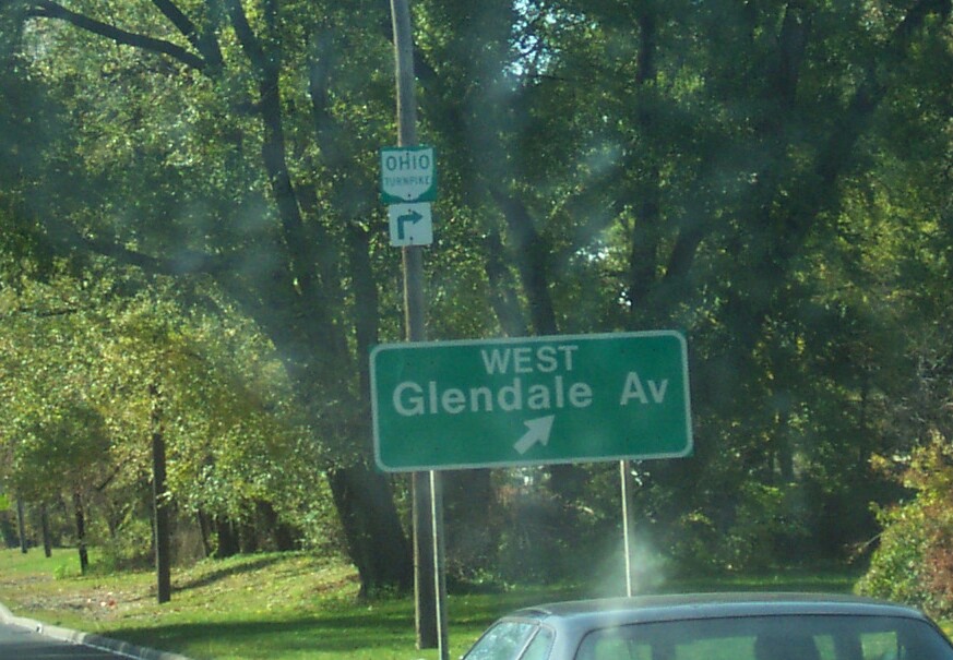
| GLENDALE AVENUE |
|
|
| MEDICAL COLLEGE OF OHIO | ||
| TO TURNPIKE | ||
 MEDICAL COLLEGE HOSPITAL |
||
| SHERWOOD AVENUE |
 OUR LADY OF PERPETUAL HELP SCHOOL |
|
|
TOLEDO CHRISTIAN SCHOOL |
||
| COPLAND BOULEVARD | TOLEDO COUNTRY CLUB | |
| TOLEDO City Limits | MAUMEE City Limits | |
TOLEDO Anthony Wayne Trail Laws: (TMC 331.30)
1. The Anthony Wayne Trail is hereby declared to be a "limited-access highway".
2. No person shall drive or operate upon the A.W. Trail or any part thereof any vehicle which is designated in Section 303.06(b). The provisions of this section shall not apply to vehicles crossing the A.W. Trail at regular designated crossings thereof.
3. No driver or operator of a vehicle shall stand or park the same on the A.W. Trail except in the case of emergency repairs and in such event only for so long as shall be necessary to make emergency repairs to such vehicle.
4. No curb cuts, ingress, or egress
shall be allowed at any point along the A.W. Trail and only the following points
are hereby designated as public points of entry and exit:
(1952 Code §21-11-20; Ord. 142-73)
|
|
||
 DETROIT AVENUE |
|
|
|
This is the bridge carrying the extended intersection of the Anthony Wayne Trail (E-W US-24/OH-25) and Detroit Avenue (N-S US-24) over the Ohio Turnpike. |
||
| MICHIGAN AVENUE |
|
|
| KEY STREET | LUCAS COUNTY RECREATION CENTER | |
| LUCAS COUNTY FAIRGROUNDS | ||
| WHITE STREET | ||
| GIBBS STREET | ||
|
|
||
|
CONANT STREET |
CHANGE IN DIRECTION |
|
|
|
||
|
|
||
| WILLIAM STREET | ||
| JOHN STREET | ||
| DUDLEY STREET | ||
| WAYNE STREET | ||
| BROADWAY STREET |
UNION ELEMENTARY SCHOOL |
|
|
ST. JOSEPH'S SCHOOL |
||
| HARRISON STREET | ||
|
LUCAS County Line MAUMEE City Limits |
||
| MAUMEE RIVER | ||
|
WOOD County Line PERRYSBURG City Limits |
||
|
||
| RAPIDS ROAD | ||
|
|
||
 WEST BOUNDARY STREET |
CHANGE IN DIRECTION |
|
|
|
||
|
|
||
| WEST SECOND STREET | ||
|
|
||
|
WEST INDIANA AVENUE |
GRAND RAPIDS | |
| FORT MEIGS STATE MEMORIAL | ||
|
|
||
| WEST SIXTH STREET | ||
| WEST SEVENTH STREET | ||
| GROGAN DRIVE | ||
|
WEST EIGHTH STREET ECKEL ROAD |
||
| GARFIELD DRIVE | ||
| WEST NINTH STREET | ||
| WESTBROOK DRIVE | ||
| FINDLAY STREET | ||
| WEST SOUTH BOUNDARY STREET | ||
| ECKEL JUNCTION ROAD | ||
|
|
||
|
||
|
|
||
| WILLIAMS STREET | ||
|
JEFFERSON STREET LEVIS PARKWAY |
||
| WILSON STREET | ||
| LINCOLN BOULEVARD | ||
| GLORIA STREET | ||
| FORT MEIGS STREET | ||
| HAROLD STREET | ||
| ROOSEVELT STREET | ||
| WASHINGTON STREET | ||
| ROACHTON ROAD | ||
TO BE RESURFACED FROM ROACHTON ROAD TO
 |
||
| PROGRESS DRIVE | ||
| FIVE POINT ROAD | ||
| PERRYSBURG Township Line | PERRYSBURG City Limits | |
| REITZ ROAD | ||
| OVITT ROAD | ||
| MIDDLETON Township Line | PERRYSBURG Township Line | |
| DOWLING ROAD | ||
| KING ROAD | ||
|
TO BE RESURFACED FROM ROACHTON ROAD TO
|
||
|
|
HASKINS DUNBRIDGE LUCKEY |
|
| DEVILS HOLE ROAD | ||
| CROSS CREEK ROAD | BUCKEYE TRAIL | |
| SUGAR RIDGE ROAD | ||
| UNION HILL ROAD | UNION HILL CEMETERY | |
| SIMONDS ROAD | ||
| NIMS ROAD | ||
| BOWLING GREEN City Limits | MIDDLETON Township Line | |
| NEWTON ROAD | ||
| VAN CAMP ROAD | WOODLAND MALL | |
| INDUSTRIAL PARKWAY | ||
| PARKVIEW DRIVE | ||
| POE ROAD |
BOWLING GREEN HIGH SCHOOL |
|
 WOOD COUNTY AIRPORT |
||
| DILL AVENUE | ||
|
CURTIS AVENUE FRAZEE AVENUE |
||
|
WOLFFY AVENUE LEROY AVENUE |
||
| REED AVENUE | ||
| MERRY AVENUE | ||
| EVERS AVENUE | ||
| LIBERTY AVENUE | ||
| RIDGE STREET |
RIDGE ELEMENTARY SCHOOL |
|
| CLAY STREET | ||
| OAK STREET | ||
| COURT STREET | ||
 WOOSTER STREET |
BOWLING GREEN JUNIOR HIGH SCHOOL |
|
| WOOD COUNTY FAIRGROUNDS | ||
| DOYT PERRY STADIUM | ||
| ANDERSON ARENA | ||

WOOD COUNTY HOSPITAL |
||
| CLOUGH STREET |
ST. ALOYSIUS SCHOOL |
|
| WASHINGTON STREET | ||
| PEARL STREET | ||
| LEHMAN AVENUE |
SOUTH MAIN ELEMENTARY SCHOOL |
|
| ORDWAY AVENUE | ||
| KRAMER LANE | ||
| PALMER AVENUE | ||
| BYALL AVENUE | ||
| SAND RIDGE ROAD | ||
| GEORGIA AVENUE | ||
| ADA AVENUE | ||
| DIXIE AVENUE | ||
| CARR AVENUE | ||
| NAPOLEON ROAD | ||
| SOUTHWOOD DRIVE | ||
| GYPSY LANE ROAD | ||
| CENTER Township Line | BOWLING GREEN City Limits | |
 |
NAPOLEON FREMONT |
|
| KRAMER ROAD | ||
| PORTAGE Township Line | CENTER Township Line | |
| POWELL ROAD | ||
| PORTAGE Village Limits | PORTAGE Township Line | |
| HICKORY LANE | ||
| WALNUT STREET | ||
| MAIN STREET | ||
| WATER STREET | ||
| PORTAGE Township Line | PORTAGE Village Limits | |
| GREENSBURG PIKE | ||
| MERMILL ROAD | ||
 |
CUSTAR WAYNE BRADNER |
|
| BAYS ROAD | ||
| JERRY CITY ROAD | ||
| CYGNET ROAD |
CHANGE IN DIRECTION |
|
| INSLEY ROAD |
CHANGE IN DIRECTION |
|
|
Toledo Dayton |
ENDS ON ENTRANCE RAMP TO I-75 |
|
|
SOUTH - Scroll Down |
NORTH
- Scroll Up |
|
|
State Highway, Street name or Exit Destination Township Lines |
Other Features |
|
|
|
||


 NEW SIGNAL TO BE PLACED