
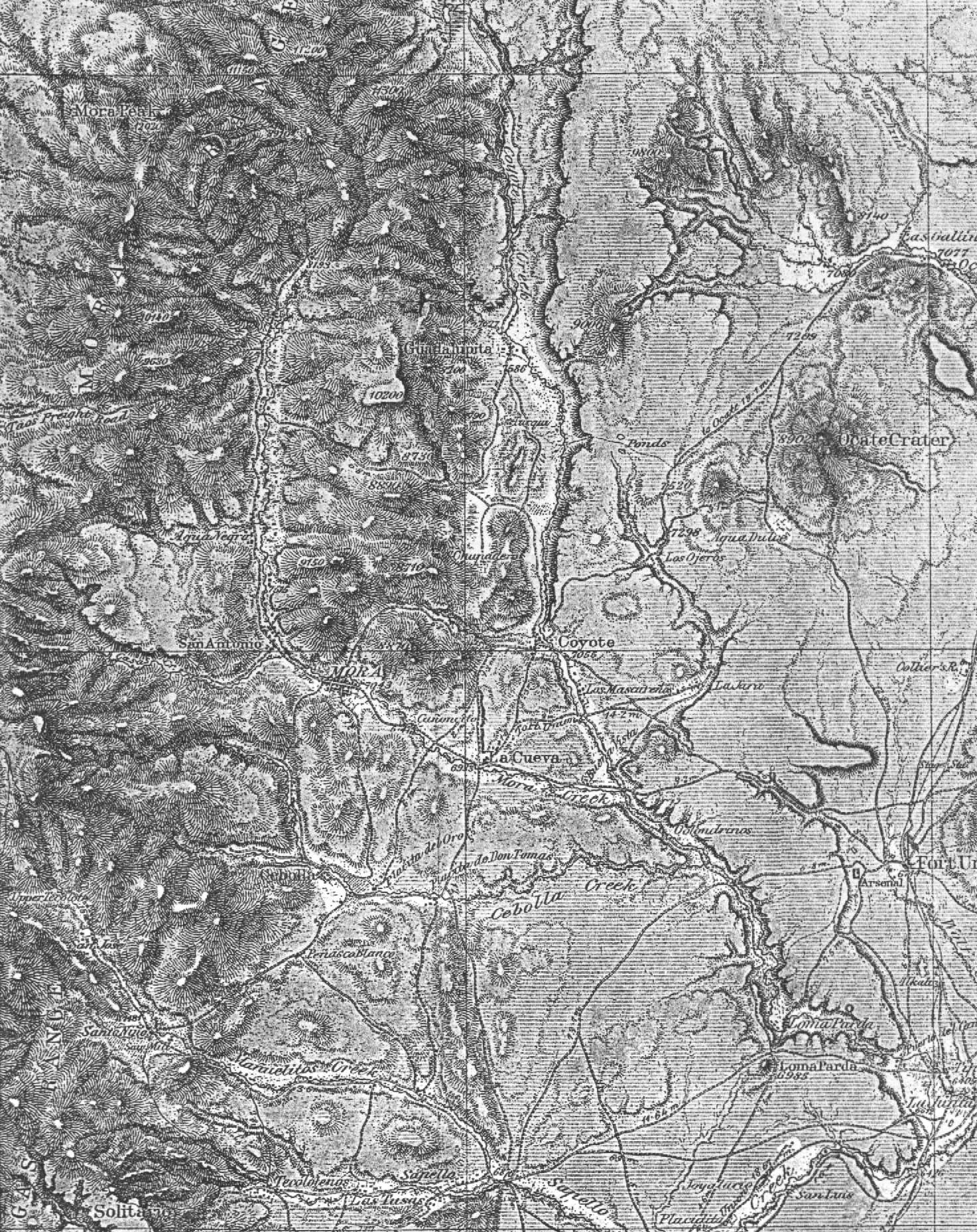
The following web page is dedicated to documenting the area and town known as El Coyote, and later the town was renamed Lucero.
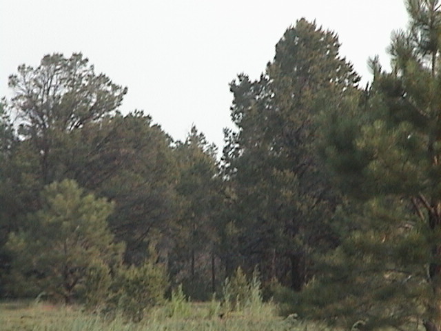
As you enter from the highway, opposite the North road to Rainsville (which BTW used to be called El Llano), you pass by three adobe structures. The far adobe building was the home of Antonio Montoya and Soledad Casias, and one of the nearer homes was the home of their son Jesus. If you stop here and hike due North for about one-half mile you should find an old graveyard, which is fairly well hidden by the trees. If you see something like this, you're close.
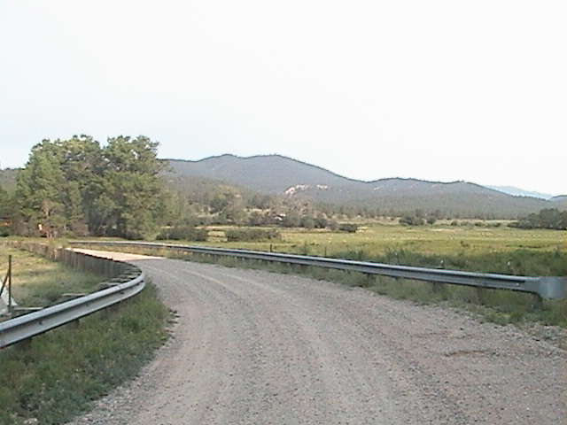
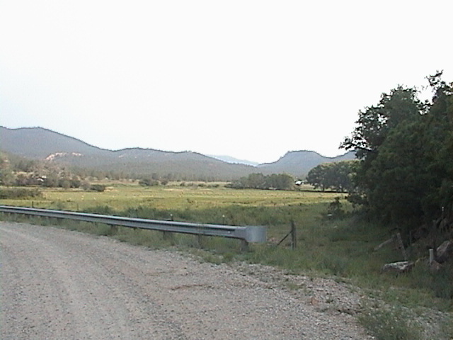
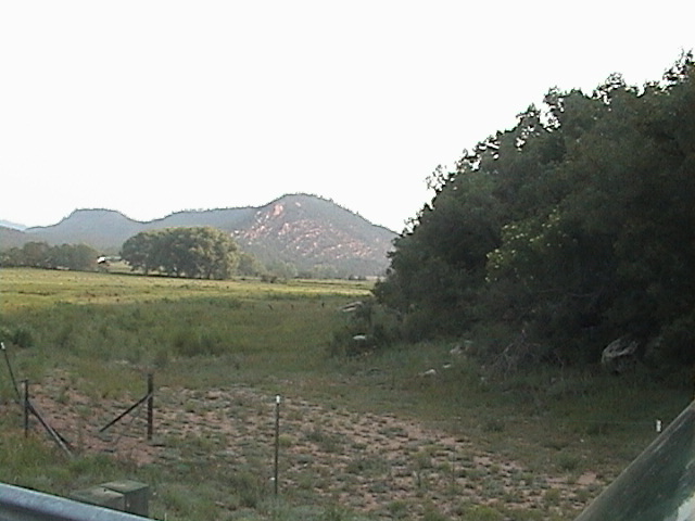
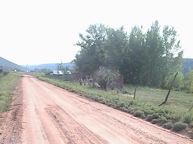
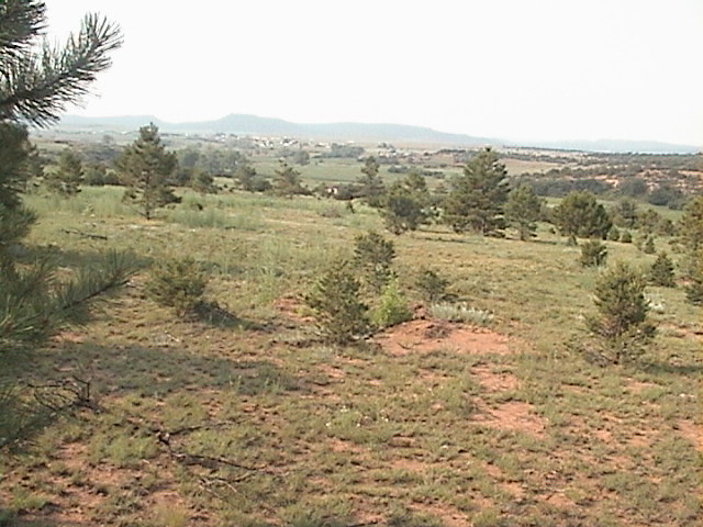
Looking South from the graveyard, you should see much of the El Coyote valley area that was once owned by Antonio Montoya and his descendents. Continuing on toward the West and driving in through the opening in the cliff, you approach the bridge and you will start to see the remains of the old town. The following pictures show the scenes from SW to NW, where many families lived in the late 1800s and earlier 1900s. To the left is the homesite of Antonio Romero and Sofia Maestas, who later left the home to their daughter Margaret. Stories indicate that this home was originally own by Dr. Black.
 |

|
|
|
Once we cross the bridge and enter the city of Lucero, the road turns left (South) and then back to the west. To the right we should see the old church, as shown below.

In the graveyard to the South of the church, you can find many of the older sons of Fidel Mestas (oldest son of Juan N. Mestas). E-mail me if you want any of these gravesite photos.
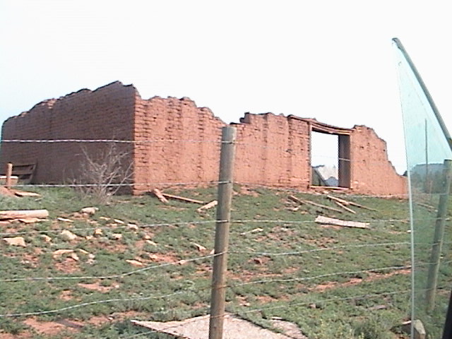
Continuing West and on the left we should see the ruins of a crazy lady's home, and then an newer burnt down structure, and then the ruins of an old bar (saloon). Note: There is a new home being built here as well. Continuing on we reach another bend in the road. The road to the left has a gate and is usually locked; however, if we go one-half mile through this gate we would come to another graveyard, which has the gavesite of Felicana Arellano.
Straight ahead to the west we should see a barn owned by one of Sophia Mestas's children, and immediately to our right are the ruins of the old Casias home. Turning right (North) we should see more ruins to our left and right. This first picture shows the old dance hall, which we should see on our left (West).
As we continue down the road we should see the old hotel on our right. The following pictures are taken looking back toward the South, with the hotel on the left and the dance hall on the right.

|  |
As we continue down the road a little more (North), we should see the old ruins of the school. This last picture shows the old school house on the right side (East) of the road as we are driving North. You can also see the right side of Red Mountain and the cliffs in the background.
Back a ways to the East was a Montoya home, and driving North past the school (and to the right) are the ruins of more homes. First was a Montoya homesite, and then a Medina homesite, and then the next piece of property belonged to the church. Continuing on you should come to the home that was originally owned by Juan N. Mestas; and then with his passing, it went to Amado Mestas, who had married his second wife's daughter (his step sister). The house and out buildings are set back from the road toward the .
Just to the North of here is the land that was first owned by Fidel, and then sold (or traded) to younger brother Amadeo. Continuing North are a few more ruins and homesites, albeit more spaced out. Near here and pass the base of red mountain is where Amadeo first had a homesite after he was married in 1915. Further to the North was the home of Filiberto Valdez, and even further was the home of Julian Montoya, and then a mile or so North was the home of Lupita Sisneros, the midwife who brought many of the El Coyote valley's children into the world.
This is a work is progress. So expect periodic updates through the Summer and Fall of 2004.
|
E-Mail ... Gerry |
|
