|
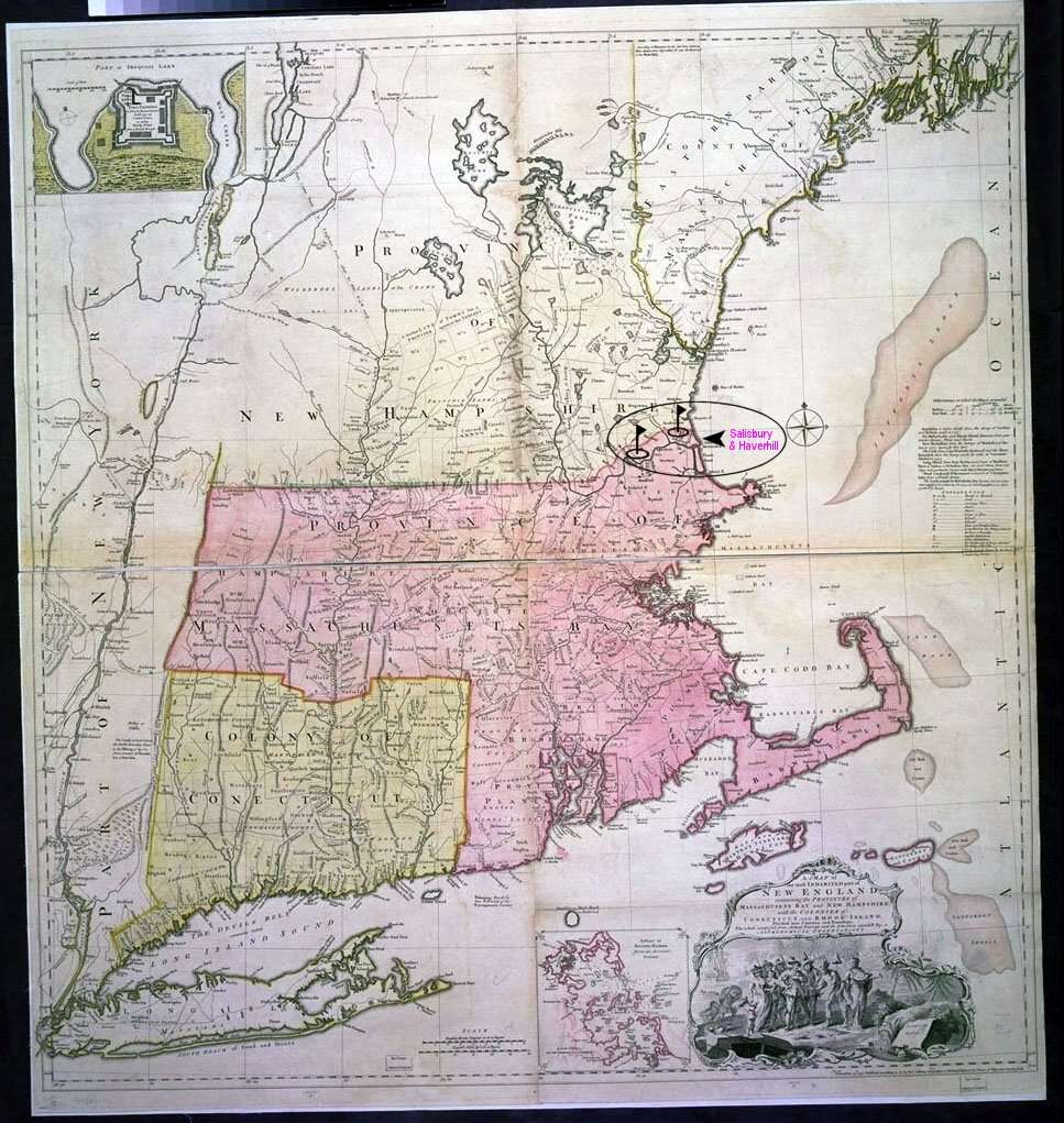
Thomas Jefferys' map of New England and New York was the most influential map of this area published during the eighteenth century. Based on a variety of sources, it provided the model for all the more accurate maps of New York prior Simeon De Witt’s map of 1802. Although individual eighteenth-century British maps improved on Jefferys in a variety of ways, the overall framework of British mapping during this period remained essentially the same as that seen here. This map is an excellent source of eighteenth-century place names. Although this map is usually attributed to Jefferys, it was actually drawn by his assistant Braddock Mead (also known as John Green). The map contains a list of the sources used in its compilation, which was unusual in the eighteenth century. In spite of this list, it appears that the map was derived largely from other sources. The entire New England portion of the map was almost certainly copied from a little-known map by William Douglass. The part depicting New York was probably copied from a survey (probably made by the British military), part of which can be found in the Public Record Office. As Geographer to the King, Jefferys had access to manuscript surveys of the American colonies, some of which have been lost. David Yehling Allen, Long Island Maps and Their Makers , 34-37 William P. Cumming, British Maps of Colonial America , 45-47 Alex Krieger and David Cobb, eds., Mapping Boston , 28 John R. Sellers and Patricia Molen Van Ee, Maps and Charts of North America , no. 797 Notes: 1. Scale ca. 1:440,000. 2. Shows boundaries, town and cities, roads, trails, forts, rivers and streams, waterfalls, portages, numerous place-names, landmarks, land grants in New Hampshire and Maine. 3. Described in Sellers, Maps and Charts of North America, no. 797. 4. Insets "Fort Frederik" (ca. 1:1,680) and "A plan of Boston harbor from an accurate survey" (ca.1:150,000). 5. Image derived from a 4 x 5" transparency scanned to a Kodak Pro Photo CD. Original map held by Library of Congress, Geography and Map Division. For rights information, contact Library of Congress, Geography and Map Division, Washington, D.C. 20540-4650 USA. |
|
|