|
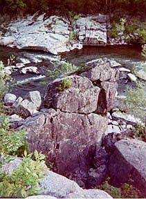
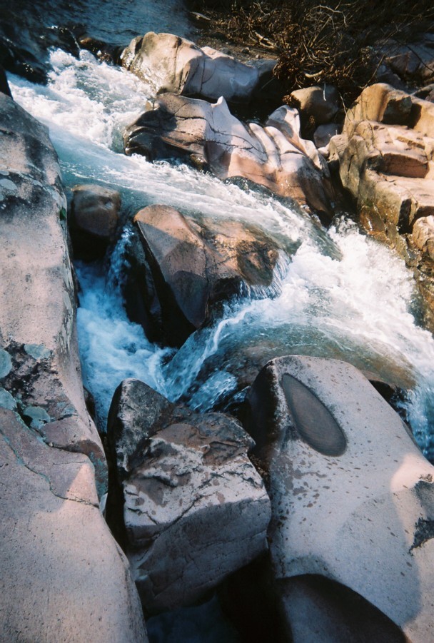
THE WATERWAYS, streams and rivers of this region are Missouri River, Mississippi River, Big River, Mineral Fork, Meremac River, Nianga, and Bourbeuse River.
|
|
|
St. Louis
|
Riverfront and the Gateway Arch are signficant in the expansion westward. There is plenty to see and do in St. Louis, take in a Cardinals or Rams game. Visit Forest Park, The Muny, the St. Louis Art Museum, Zoo, or the Fox Theatre. Enjoy a night on the town in Lacledes Landing, the Central West End or The Hill. In historic St. Charles you can explore the Lewis and Clark center or walk along the Katy Trail. In the area surrounding the city of St. Louis there are many scenic parks and activities.
|
|
S
T
.
L
O
U
I
S
|
Thousand Hills State Park
Eagle Bluff Conservation Area
Three Creeks
Conservation Area
Finger Lakes State Park
Columbia Bottoms Conservation Area
Katy Trail
Ha Ha Tonka State Park
Lake of Ozarks State Park
Bennett Spring State Park
Van Meter State Park
Mark Twain State Park
Wakonda State Park
|
ADAIR
Kirksville. HWY 6. HWY 63. HWY 157. 660-665-6995.
3,125 acres. Nestled in the green forest hills of northern Missouri, the park is centered around the 573 acre Forest Lake. A shelter protects a 1,000 year old Native American petroglyphs. The wooded park offers many hiking and biking trails.
BOONE
HWY 63. 573-443-5315. A restored wetlands area.
HWY 63. 573-884-6861. 1,277 acres. Scenic streams and bluffs along three creeks. Primitive camping. Home to rare and endangered Topeka Shiner and Cherrystone Snail. Activities include hiking, biking, and horse trails.
Columbia. 1505 Peabody Road. 573-443-5315. Numerous small lakes and rugged terrain make up this 1, 110 acre park. There is a 1.5 mile area of water for caoneing, fishing, swimming and scuba diving. There also is a wooded area perfect for a picnic in the shade. Off road riding, 70 miles, is the most popular activity in the park. Campsites and showers.
Columbia Bottoms Conservation Area. A 4,318 acre area created in 1997, an urban conservation area.
Katy Trail.
CAMDEN
Camdenton. HWy 54, Route D. 573-346-2986.
This parks scenic beauty includes caves, sinkholes "karst", natural bridges, cystal clear springs, wooded hills and abundant wildlife. The park has 2,697 acres on the Niangua arm of Lake of the Ozarks. There is a Natural Bridge, it is 70 feet wide and spans 60 feet, and reaches 100 feet into the air. The pit at the mouth of the Bridge is the Colosseum.
Osage Beach in Camden & Miller Counties. 573-348-2696.
Lagest state park in Missouri. 89 miles of shoreline.,two swimming beaches. Boat launch areas. Campgrounds. cabins. hiking trails. Cave tours. Horseback riding.
DALLAS
Lebanon (lakes region. MO 64A. 417-532-4338.
3,100 acres. 100 million gallons of water rush in daily from Missouri's third largest spring. The emerald colored pool feeds a stream that runs through the park. The stream is stocked daily for trout season and is excellent for rainbow trout. Canoeing is popular on the Niangua River which borders the park. Cabin lodging began in 1930. There are hatchery tours, a nature center, swimming pool, raft and canoe rental float trips and trails.
SALINE
MO122 off MO41. Near Marshall. 660-886-7537.
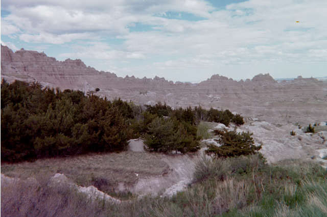
983 acres. Missouri Indians once inhabited this area in the early 1700s. The Missouri River and State name are after these Missouri Indians. Prehistoric indian tribes burial grounds, Mound Field, are still in the park. This 1,000 acre park has the largest Missouri Indian earthwork of 6 acres, known locally as Old Fort. The park is characterized by black walnut and oak trees in the hilly terrain along the margin of the river floodplain. Campground, picnic, hiking trails and an 18 acre fishing lake. There are several hiking trails into the Forest and Natural Area, and to the geologic features of the Pinnacles and Devil's Backbone.
Stoutsville. 573-565-3440.
La Grange. Named by the Missouri Osage Indian meaning "as by the Great Spirit", this 2,697 acre park contains the rare and largest natural sand beaches. It is an aquatic playground and refuge for the endagered natural community of the sand prairie. As gravel was mined to surface roads, it created a series of clean little lakes popular to fish and swim.
Return to Top
|