
 SOUTH
SOUTH
[Old] SOUTH End: Stop sign, Old IA 163/2nd St. and S6G, Prairie City, Jasper County

Facing south on 117
Photo by Jason Hancock
Highway 117 still ends at IA 163, but it's at a different spot. Before the bypass was built, the cross street was 163. Instead of continuing straight ahead, 117 was extended west a mile to an interchange on the west side of Prairie City, hence the offset interchange square on the Iowa map. County Road S6G continues to the south, under the 163 bridge in the background.

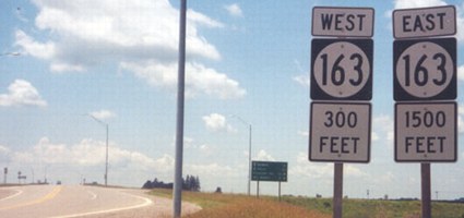
Facing east on 163
The brown van is on old 163, now 117. The white semi is on old 163, which is now a local road that meets new 163 two miles to the east. Despite S6G being on the BGSs at the interchange, there's no signage for it.
SOUTH End: Interchange, IA 163, Prairie City, Jasper County
Facing southwest, but heading south, on 117
Photo by Jason Hancock
This sign set is just south of where old 163 meets the part of 163 added to 117. Going straight right from this picture you will be on old 163 and go about a mile to a stop sign; new 163 will be immediately to the left.

Facing southwest, but heading south, on 117
Photo by Jason Hancock

Facing southwest, but heading south, on 117
Photo by Jason Hancock
The last bit of 117 is not on 163's old route, but a new road that goes to the interchange and then becomes gravel.

Facing northeast
I always think it's interesting when sets of signs for an interchange are placed on a gravel road, which this is.

Facing north
The eastbound exit ramp of the interchange is an inner loop. A left turn here goes to the Neal Smith National Wildlife Refuge and Learning Center, named after a former state representative (1959-1995).

Facing east on 163


Facing east on 163
Right photo by Jason Hancock
Someone's getting lazy with the new signs. Many recent BGSs involving county roads - see also IA 1 and 64 at US 151 - don't have directional tags added above the shields. (Maybe we should be glad the county road is on there in the first place.) It is unclear why S6G is signed here, since it goes south from 117's old south end. It's even more unclear why a perfectly straight north-south road has a diagonal number.

Facing southeast
The interchange can be seen from the old route, which still has a mile marker on it.

Facing north on 117
It's just Colfax and Mingo on the route and then the double end at 65.
To the current IA 117 North end (with IA 330 south)
To the previous IA 117 North end (just south of current end)
Pictures by Jason Hancock: First, fifth, and tenth, May 2002; third and fourth, 6/28/03
Pictures by me: Second, sixth, seventh, ninth, elventh, and twelfth, 6/3/04; eighth, 7/8/05�
Page created 5/29/02; last updated 10/30/05
