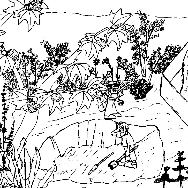
picture drawn by Hoang Pham
Circa 1940
picture drawn by Hoang Pham
Circa 1940
In the year 1940, the area behind Montgomery High School would no longer be considered a pristine riparian habitat, because the area was being destroyed. The river was nearly drained of water, so there were few cattails or sedges left. A couple of deep rooted sycamores, some willows, and more non-native plants such as mustard, fennel, horehound, and curly dock would most likely be what was growing in the river bottom. The steep sides of the mesa probably supported coastal sage scrub and chaparral vegetation which could survive on the little bit of yearly rain. When the City of San Diego built the dam at Lower Otay Lake in the year 1880 it stopped the water flow from the 273 acres around the lake. Now the river only contained the water which ran off from its creeks during winter rains and some agricultural runoff from the mesa tops. Since there were no sewer systems at this time, this water would include the waste from farm animals, town's people and farmers. This eliminated most of the fish, amphibians, animals and plants that required year round water. On the mesa tops the people built farms right over the vernal pools and the native grasses. In 1921 a rock and sand mining company began operating in our study site area. In Hoang's picture you can see men mining. It is still in operation today, but they now can chop off parts of the mesa with big machinery.